( Writing this from Deming, NM. on November 3. )
I know it has been twelve days since I last wrote. Most of our days since setting up camp in Deming have been taken up with the chores of establishing ourselves here as residents. We had to rent a site in an RV Park for six months to qualify for a New Mexico driver's license.
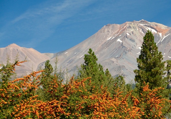
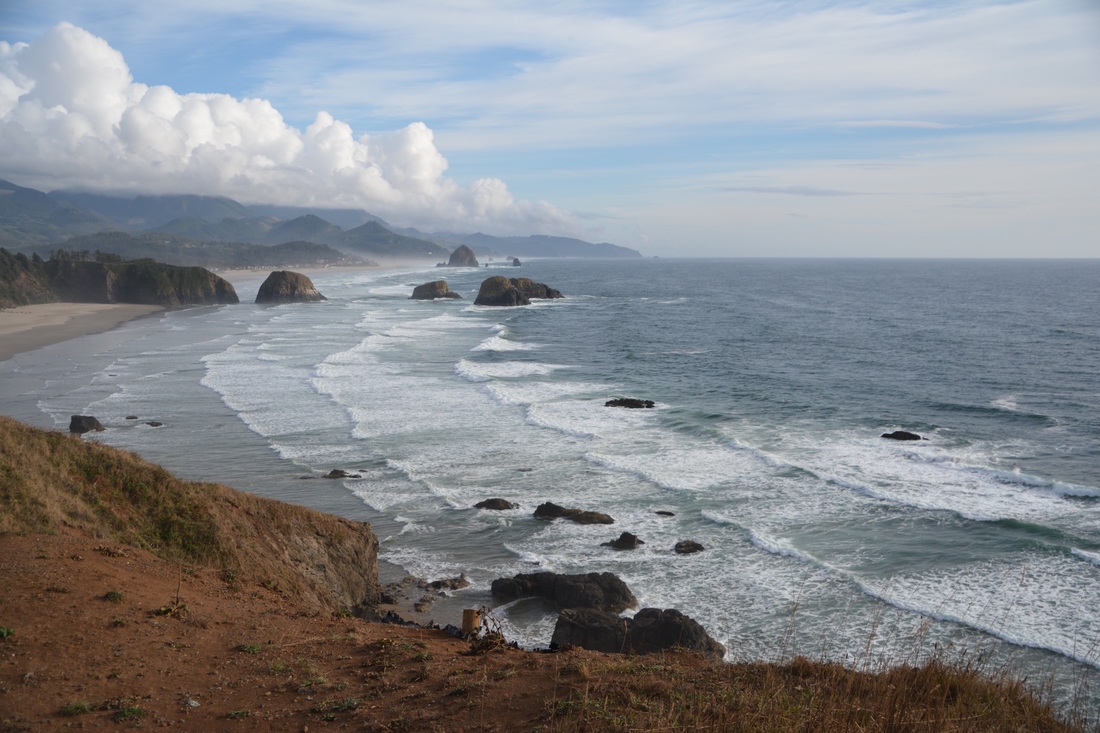
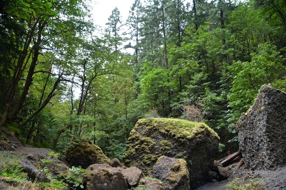
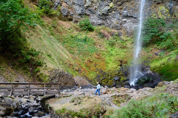
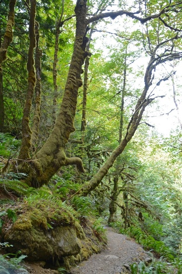
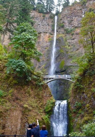
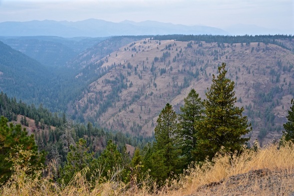
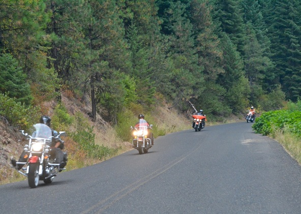
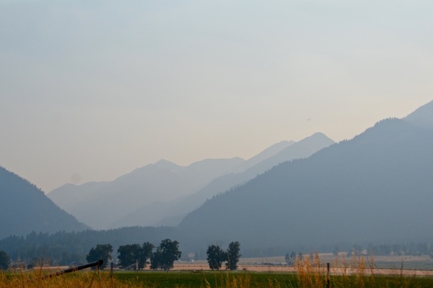
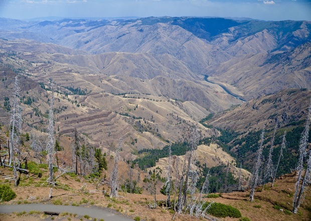
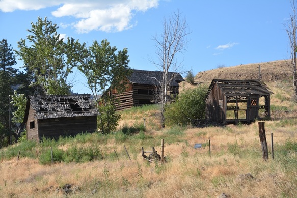
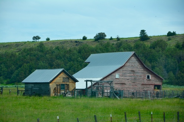
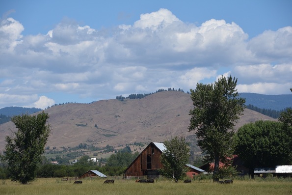
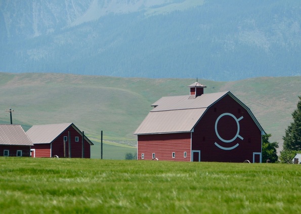
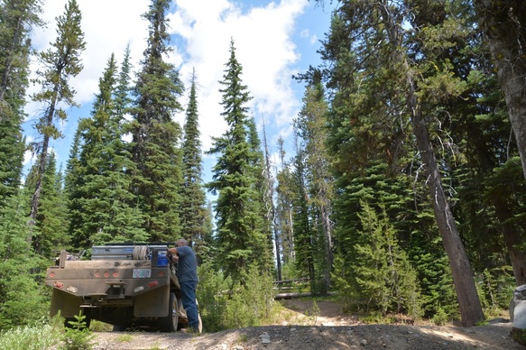
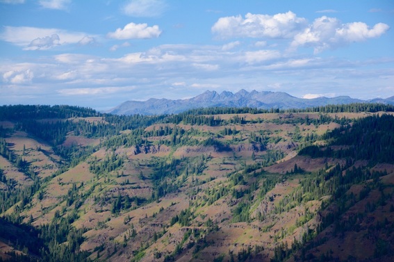
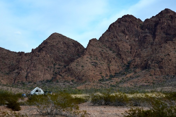
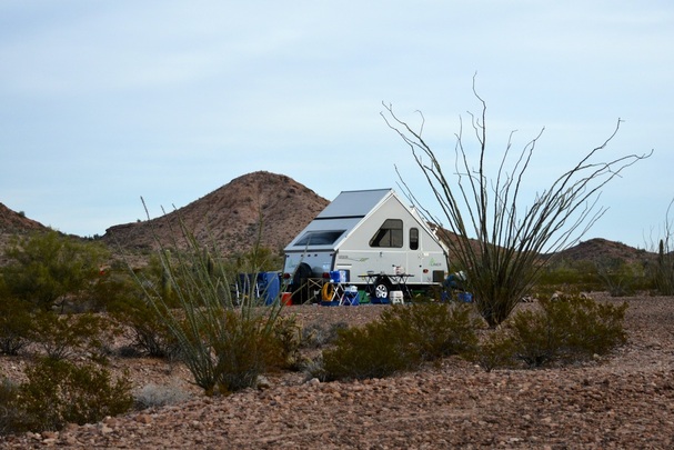
Now I would like to go back and catch up on our travels.
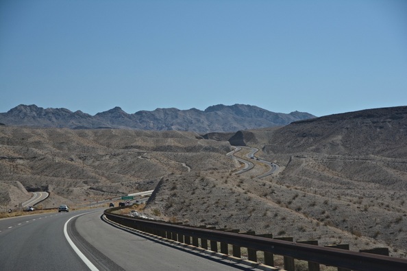
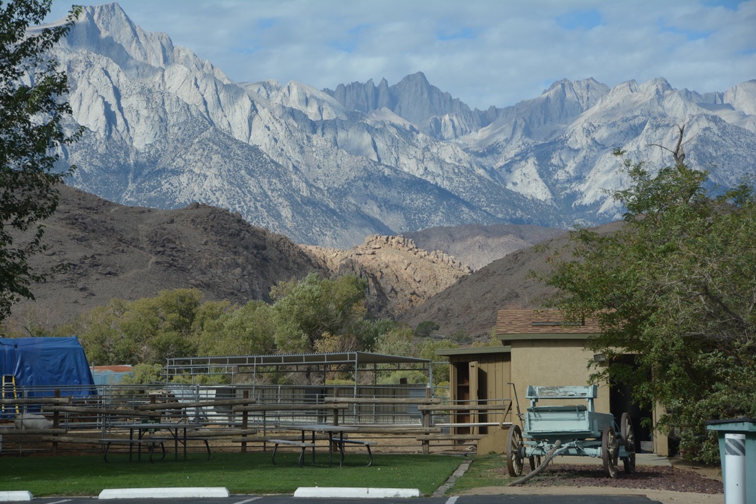
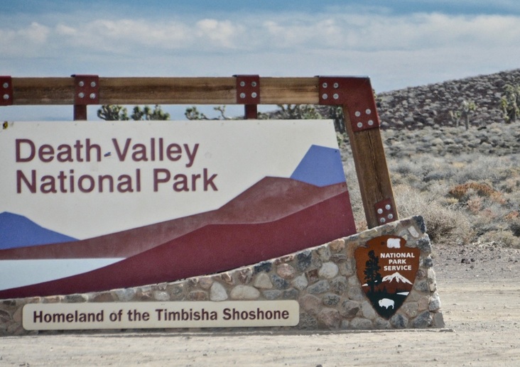
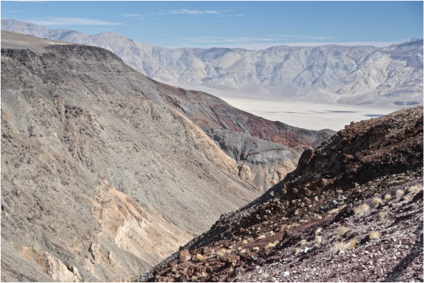
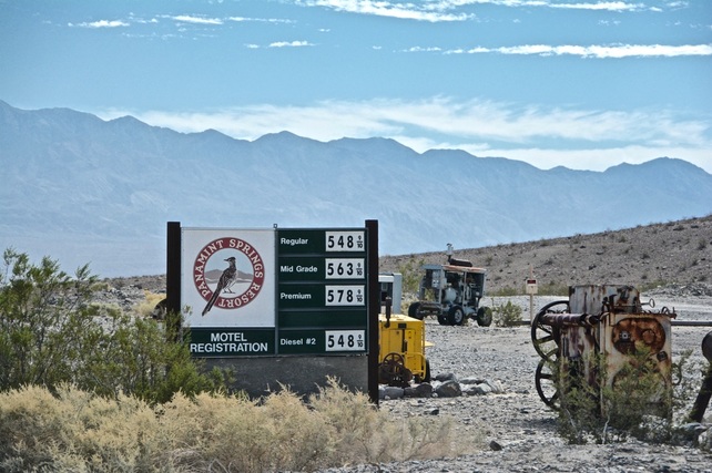
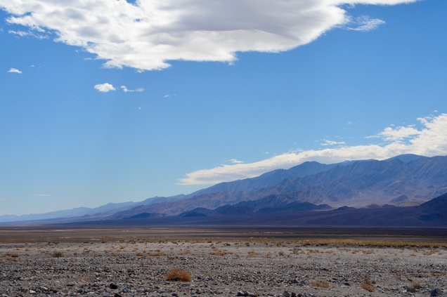
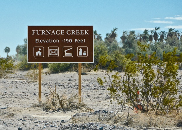
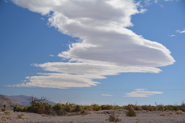
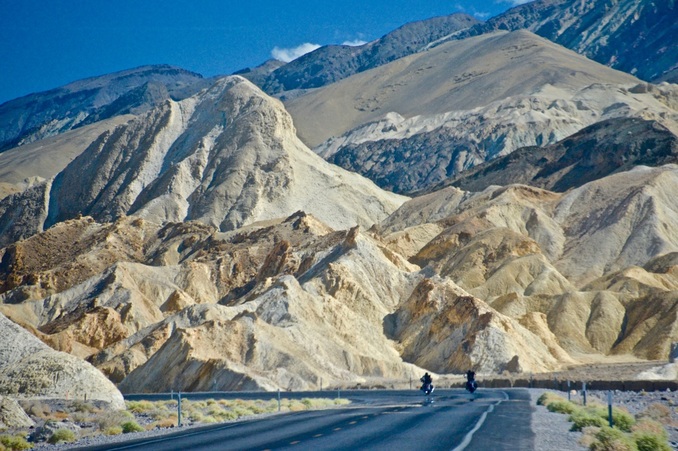
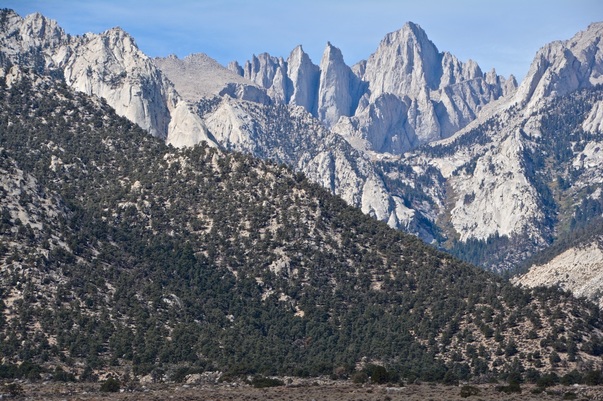
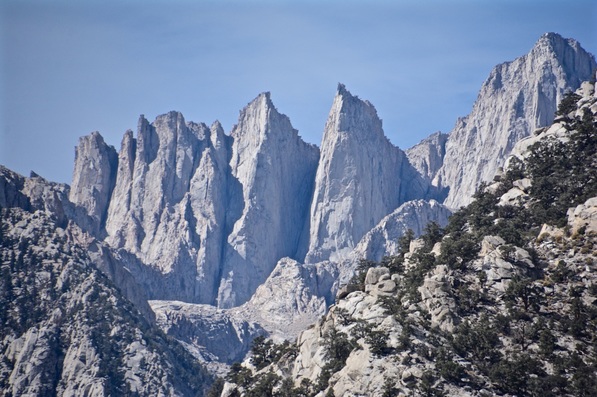
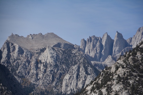
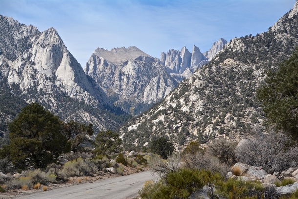
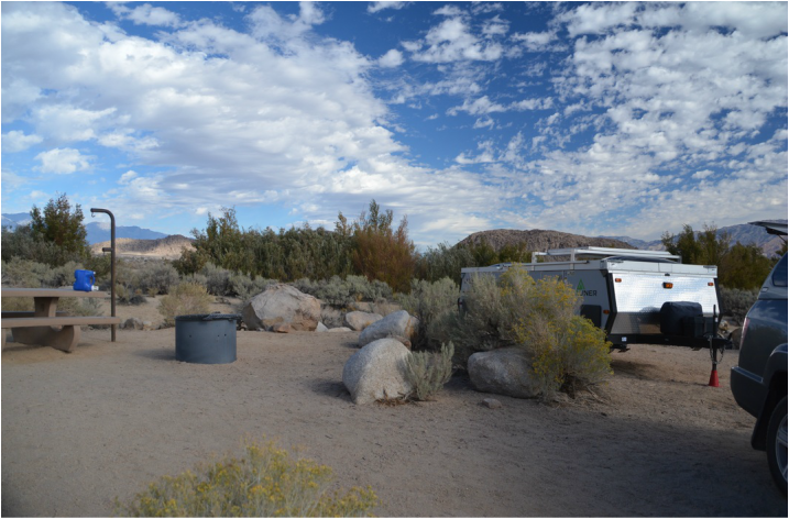
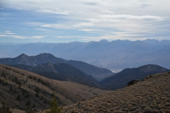
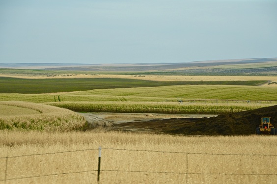
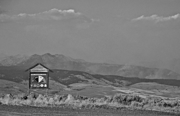
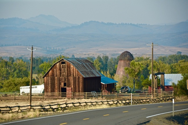
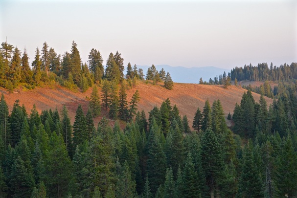
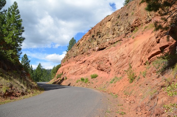
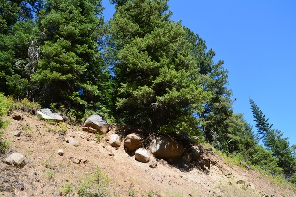
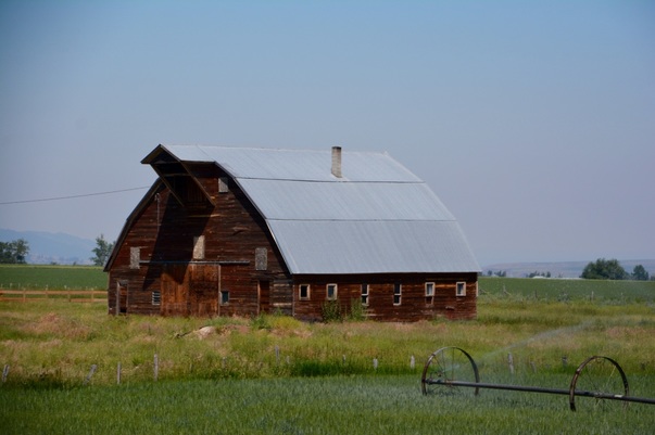
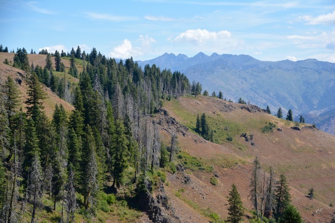
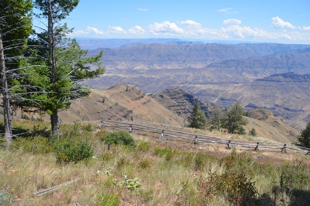
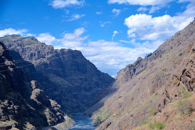
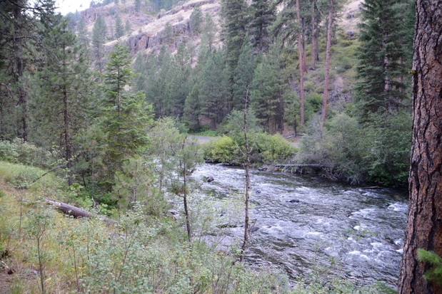
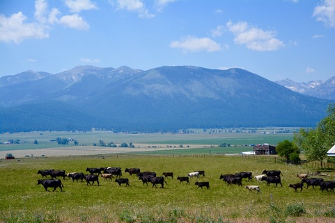
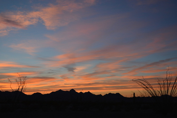
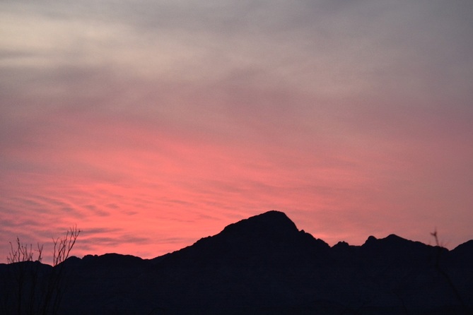
Our route from Death Valley, CA ( Oct. 2) to Deming, NM.
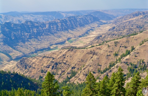
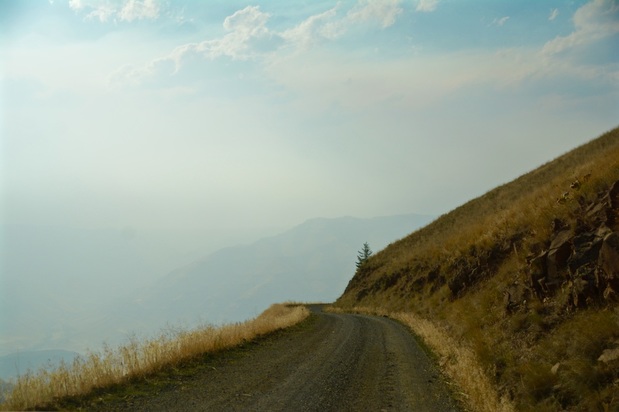
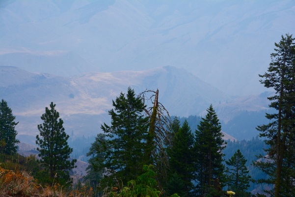
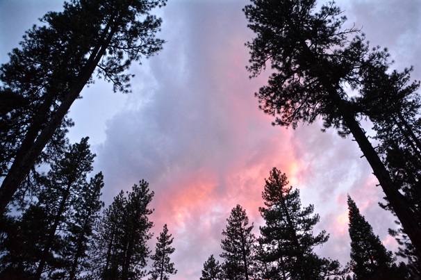
(Oct. 13) took us through some beautiful country.
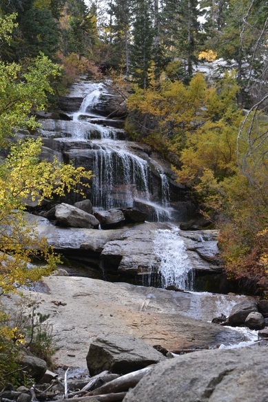
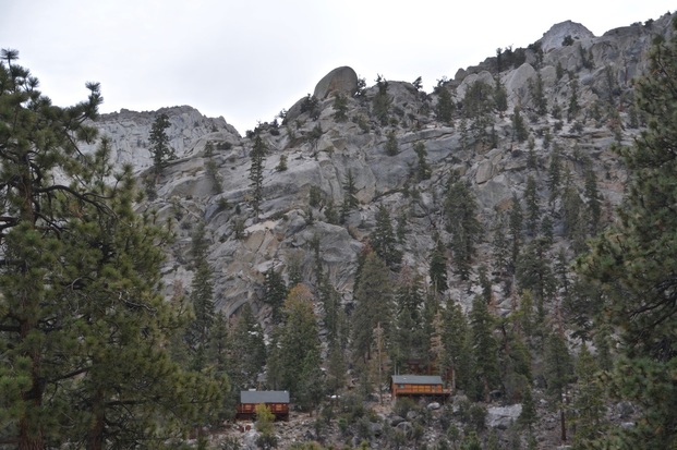
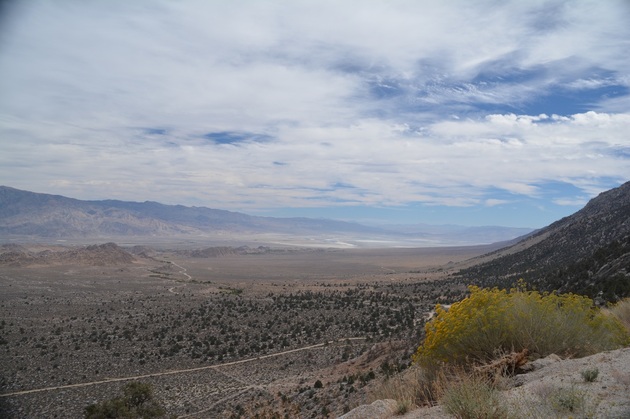
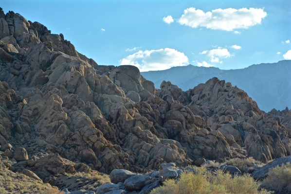
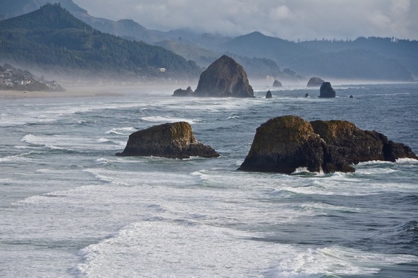
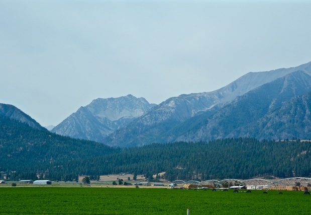
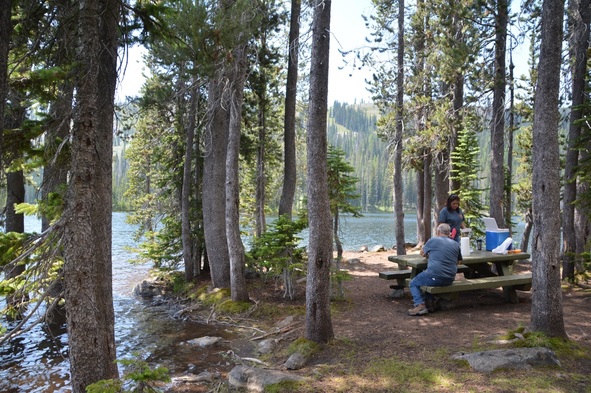
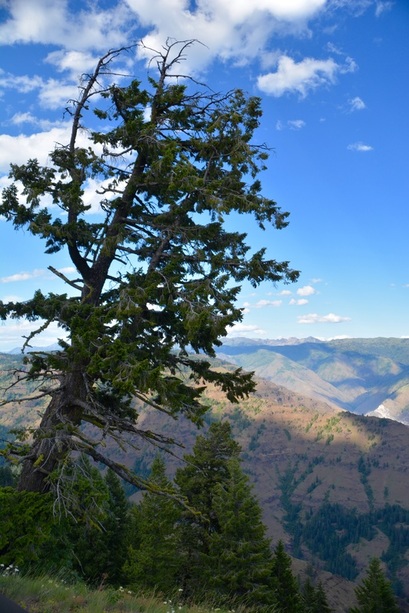
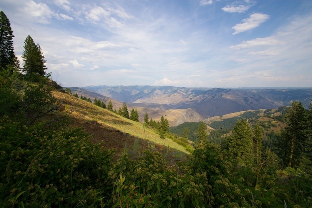
Now I would like to go back and catch up on our travels.
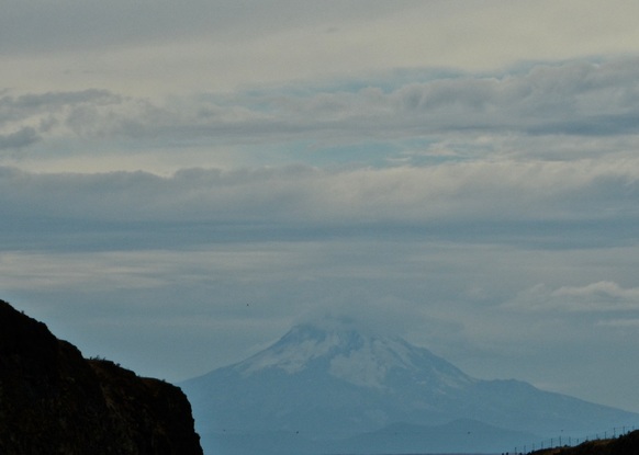
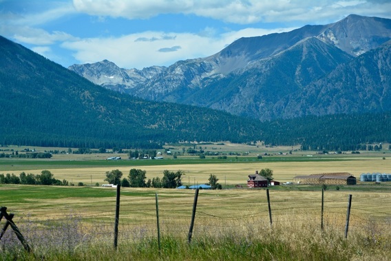
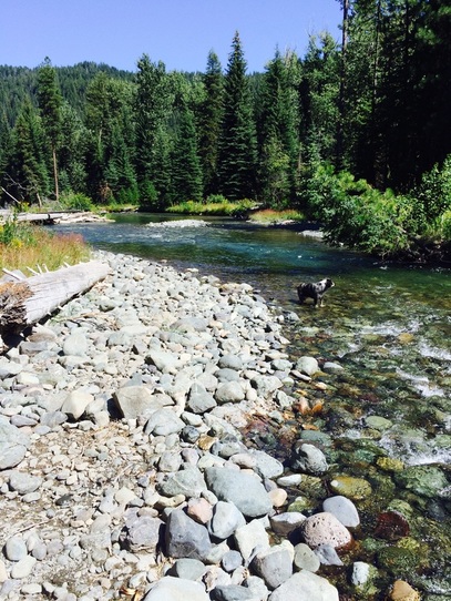
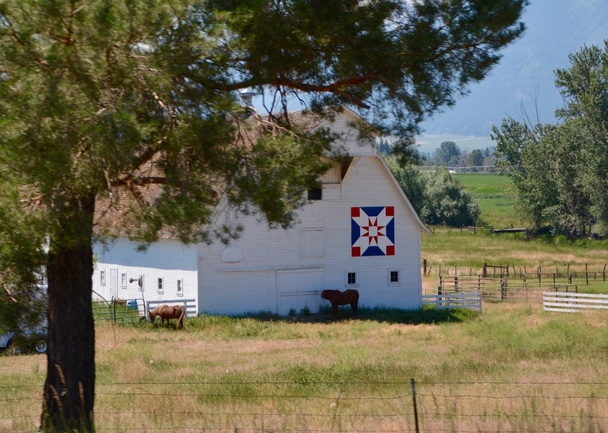
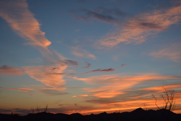
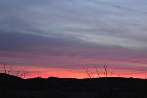
Our route from Death Valley, CA ( Oct. 2) to Deming, NM.
(Oct. 13) took us through some beautiful country.
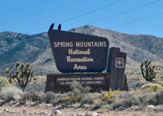
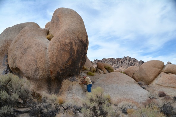
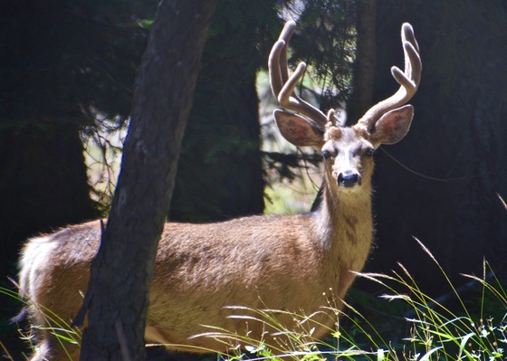
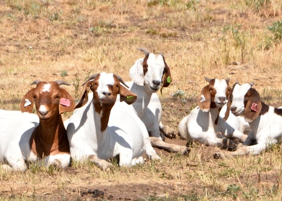
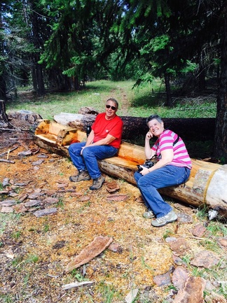
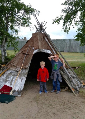
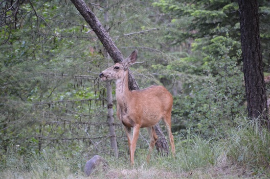
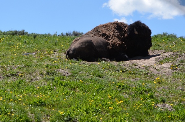
These two big guys were taking a break from the heat.
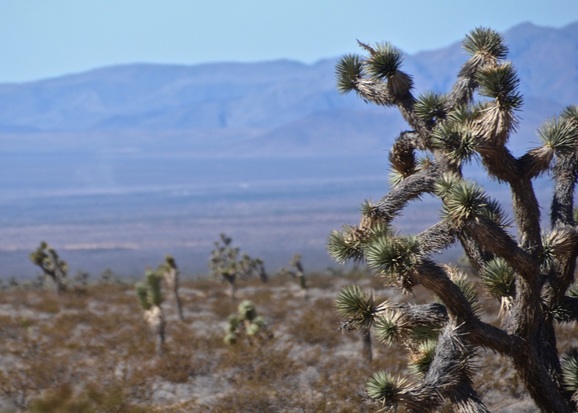
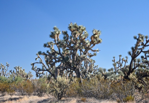
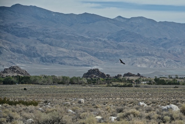
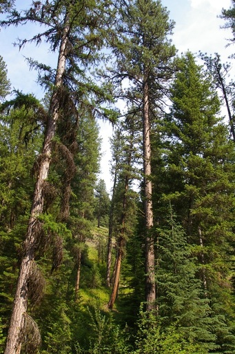
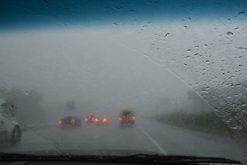
We drove through miles of highway passing the rare Joshua Trees in Nevada...
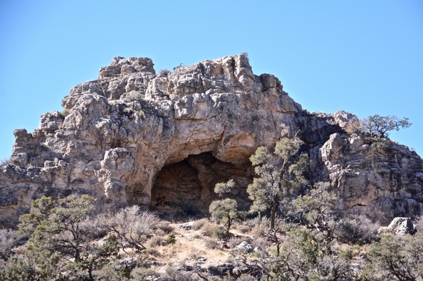
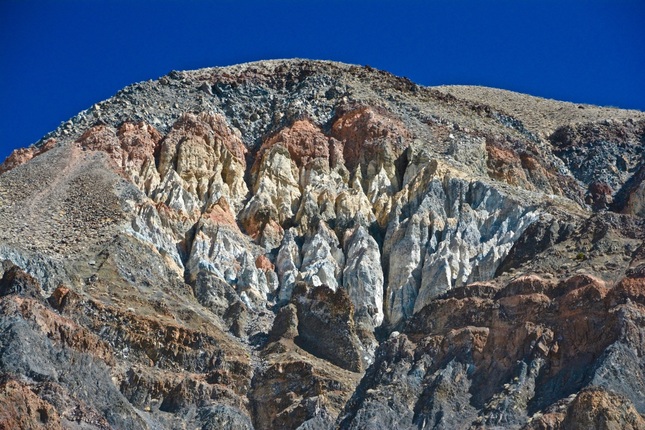
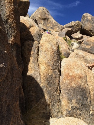
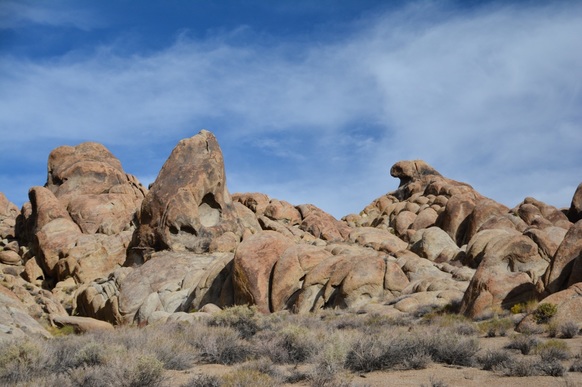
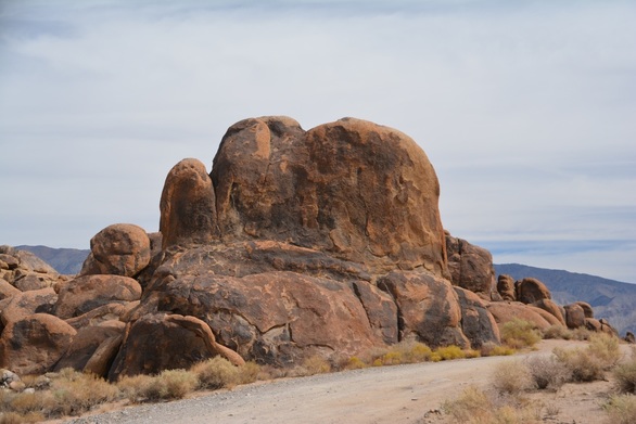
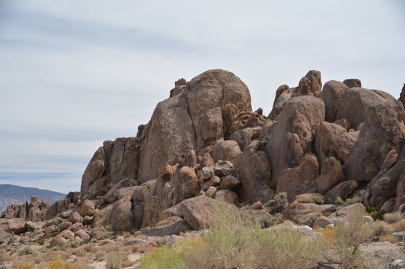
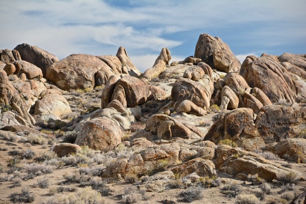
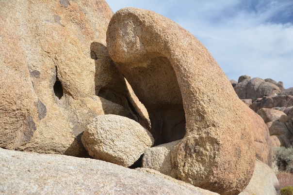
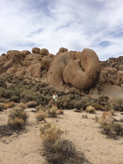
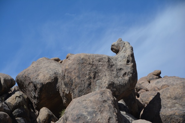
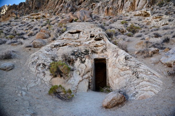
...and great rock formations.
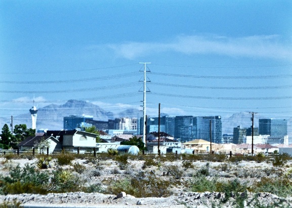
We took the bypass route avoiding Las Vegas, but I had to put in this distant shot of the casinos.
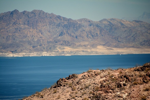
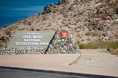
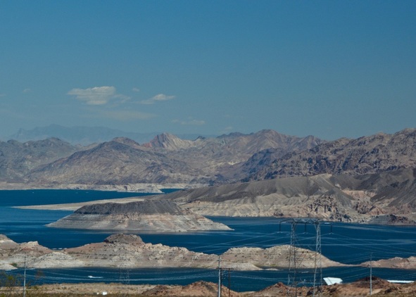
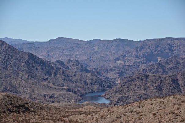
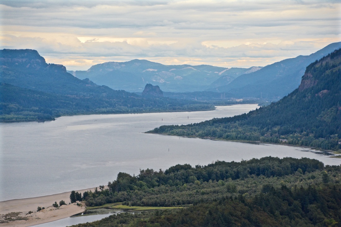
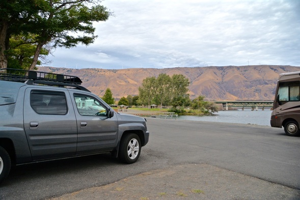
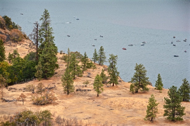
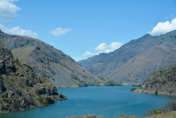
Lake Mead came into view as we got closer to the Hoover Dam.
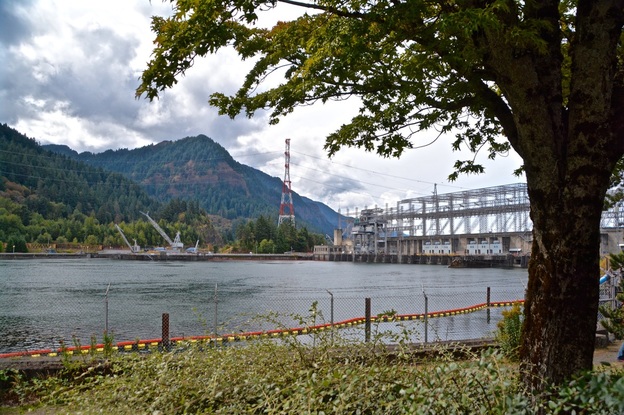
Here's a little info on the new (completed 2010) Hoover Dam Bypass Bridge, on US-93. The 1900 foot long bridge is the western hemisphere's longest single-span concrete arch bridge.
We went to visit the dam in 2008 with my sisters and saw the construction which was amazing. Seeing the finished bridge was something we really wanted to do, though we were a little disappointed that we couldn't see any of the dam from the new bridge. To see the dam you had to exit the bypass and we didn't want to do that pulling the travel trailer.
We went to visit the dam in 2008 with my sisters and saw the construction which was amazing. Seeing the finished bridge was something we really wanted to do, though we were a little disappointed that we couldn't see any of the dam from the new bridge. To see the dam you had to exit the bypass and we didn't want to do that pulling the travel trailer.
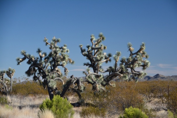
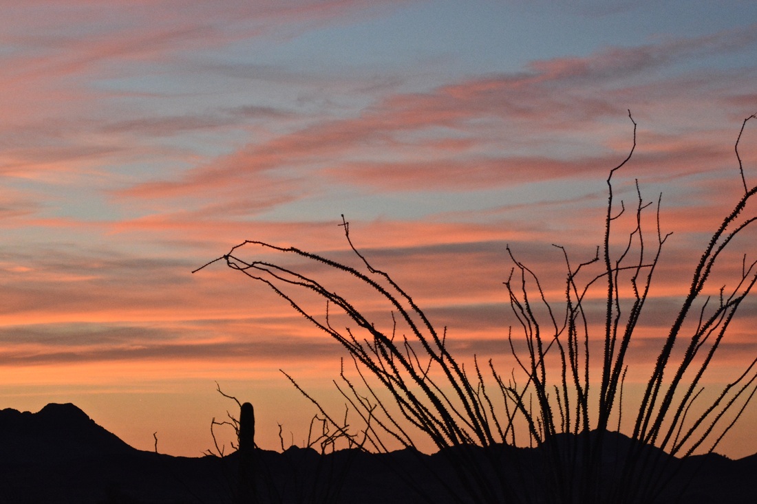
Continuing southeast through Arizona we pass more Joshua Trees.
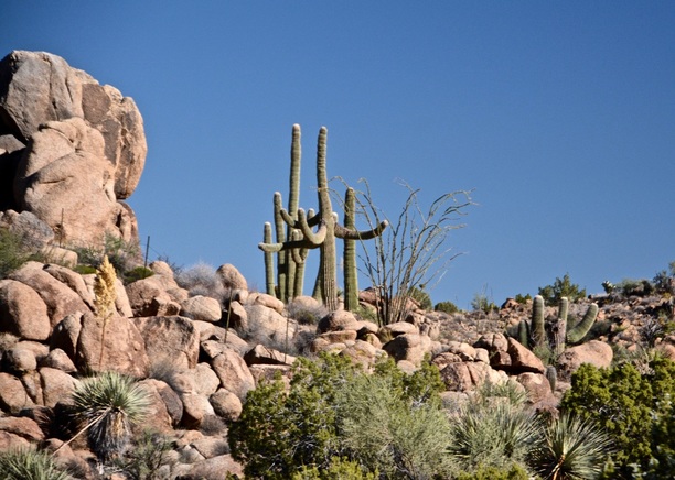
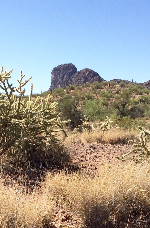
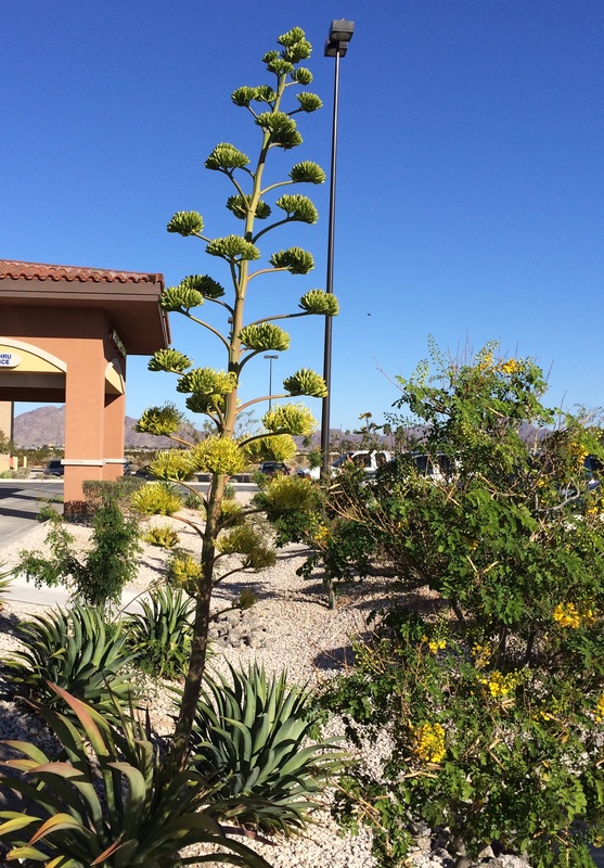
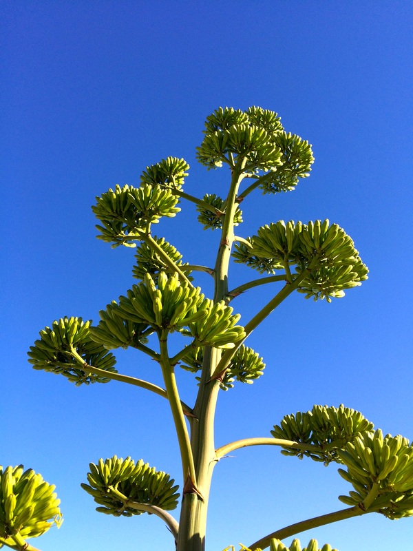
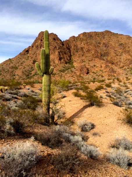
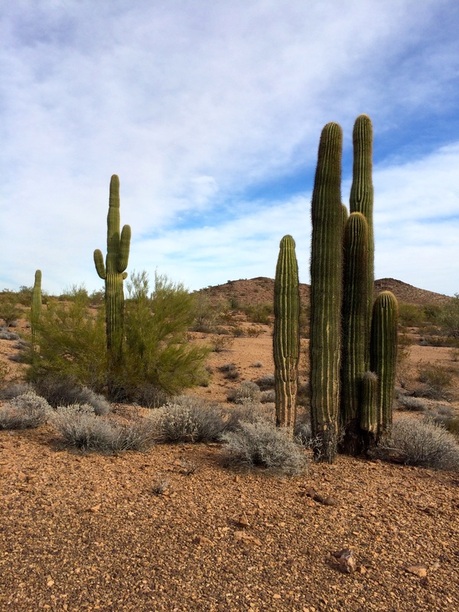
I wonder what this gaggle of Saguaros are up to?
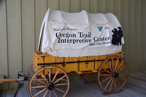
Our next stop was in Wickenburg, Arizona which I will share with you next time.
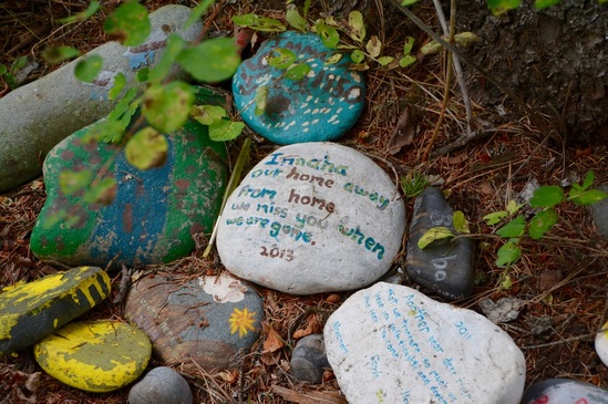
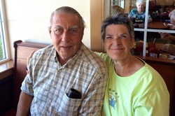
Good night to all, miss you too. B&D
Good night to all, miss you too. B&D


 RSS Feed
