traveling doves
  • Blog
  • Home

Yukon Territorry on June 19-21

7/28/2014

3 Comments

 
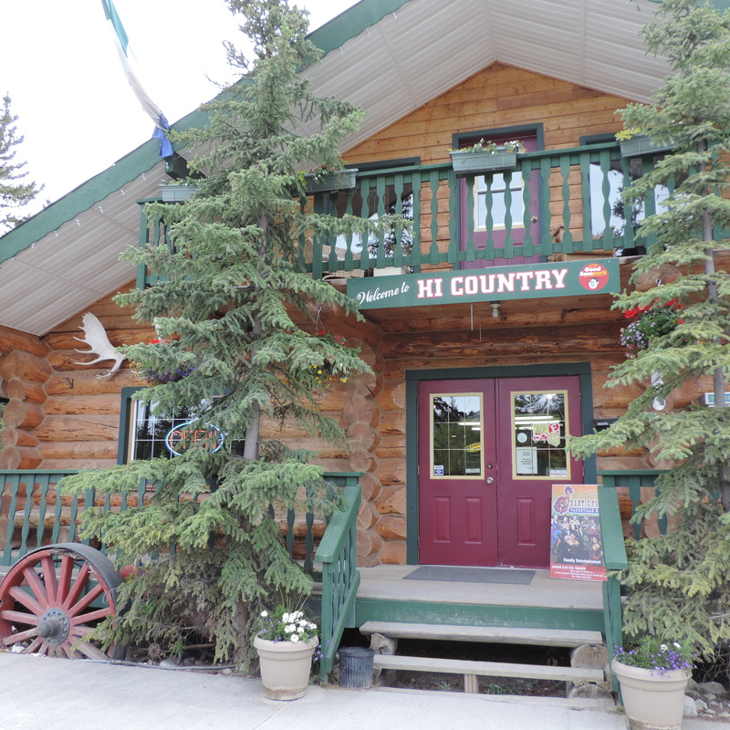
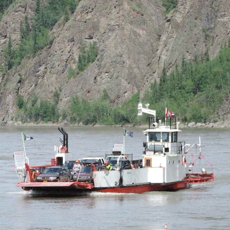
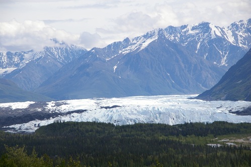
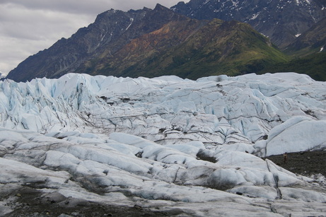
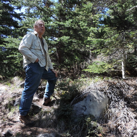
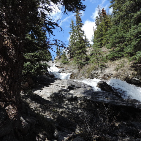
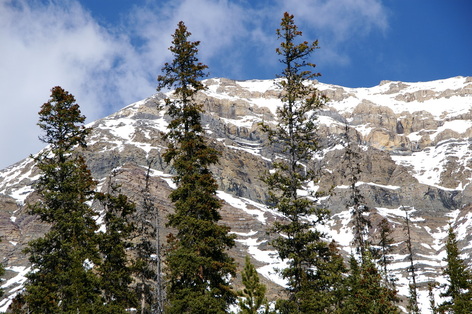
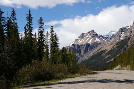
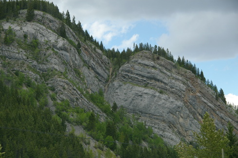
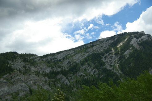
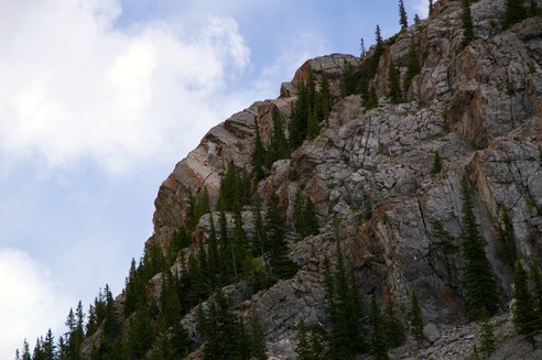
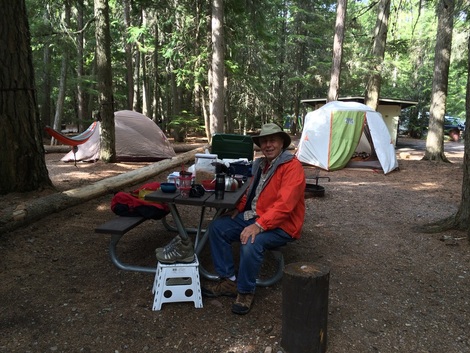
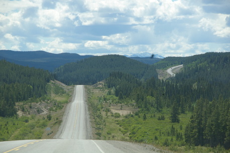
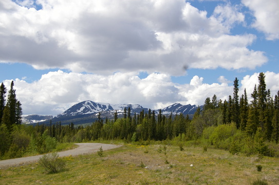
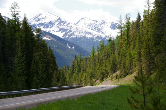
After leaving the Icefields Parkway we worked our way toward Whitehorse and Dawson City in the Yukon.   Whitehorse is the junction where you take either the Alaska Highway west into Alaska or do the Klondike Loop north to Dawson City and cross the Canadian-Alaskan border by driving the Top Of The World Highway.  We choose the Klondike Loop and crossed the boarder on June 21, the longest day of the year.  In Alaska that means 23 hours of daylight on that day.   We stayed 2 nights in Whitehorse at a very nice, clean campground called Hi-Country Rv and Campground.  We left there on the 21st, had lunch in Dawson City, took the ferry across the Yukon River, drove the Top Of The World, did the boarder crossing, and drove the Taylor Highway to Eagle, Alaska where we set up camp.  That was all in one day!   This post will have pictures of  Whitehorse and Dawson City, cool towns with all the history of the Gold Rush to look at,  then tomorrow I'll do Top Hwy. , Taylor Hwy. and the city of Eagle.   Top of the World and Taylor Highways are each 60 mile dirt stretches of hairpin curves on the side of the mountains and I can't believe we did all that in one day.
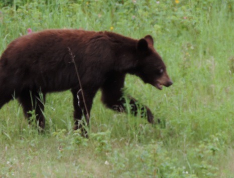
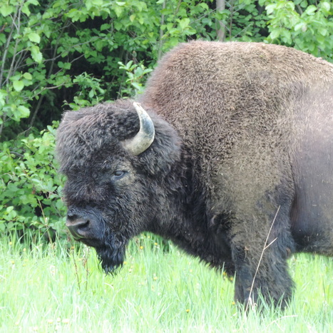
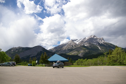
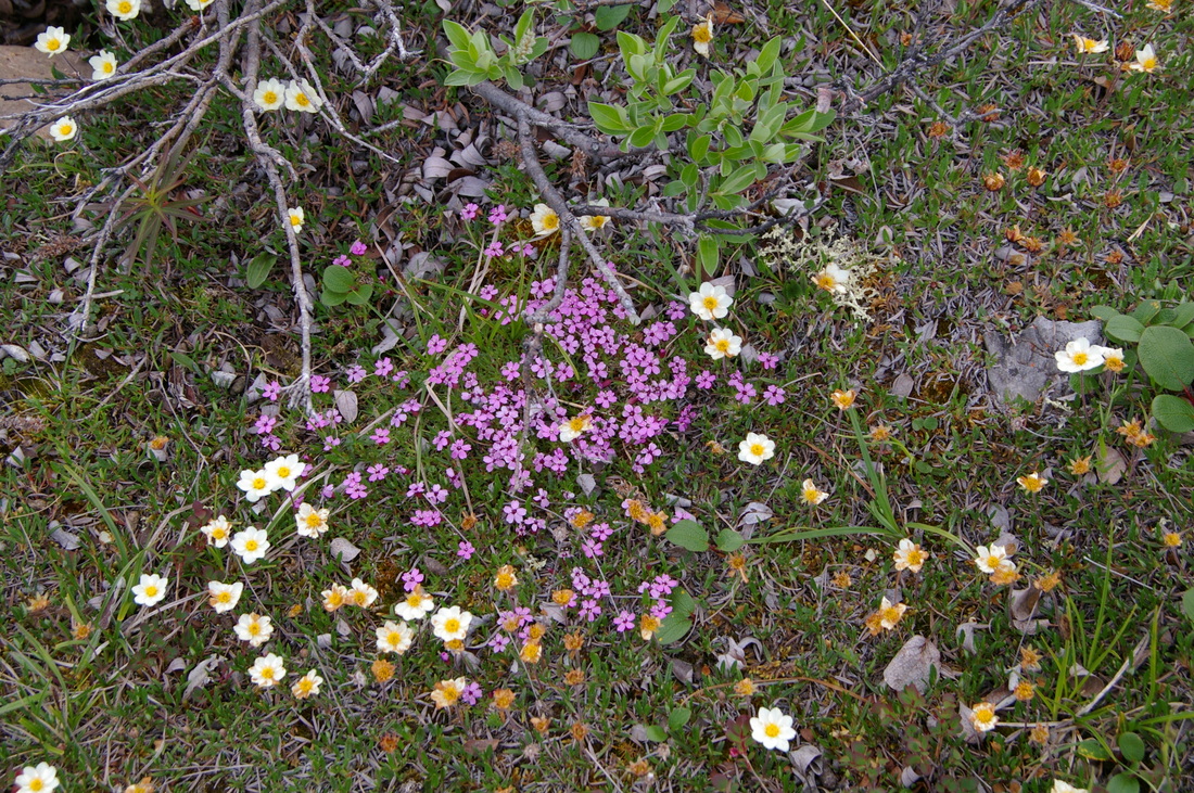
Whitehorse...

Picture
Picture
Picture
Picture
Picture
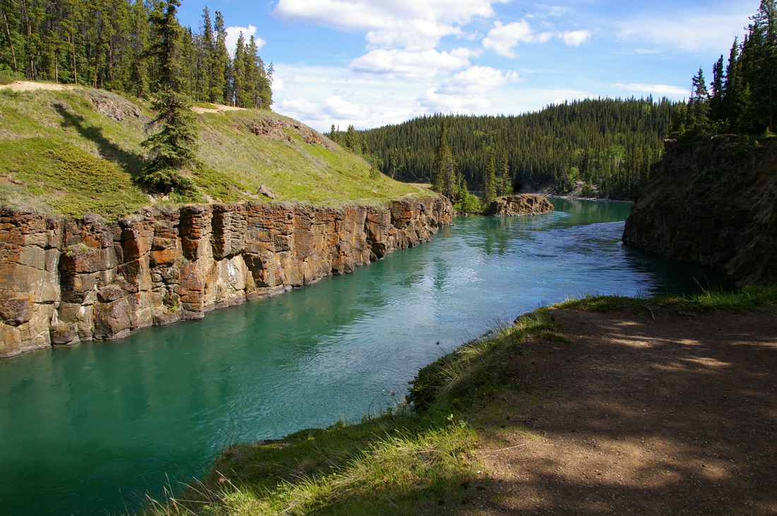
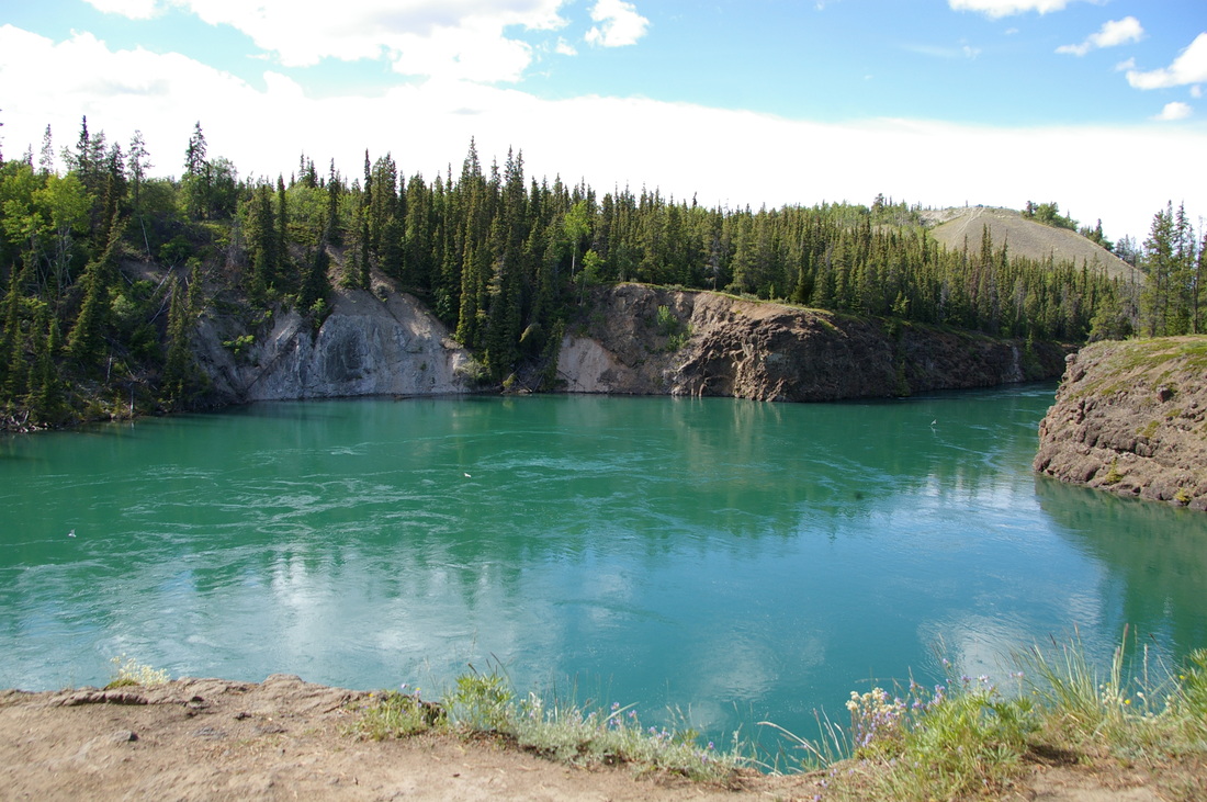
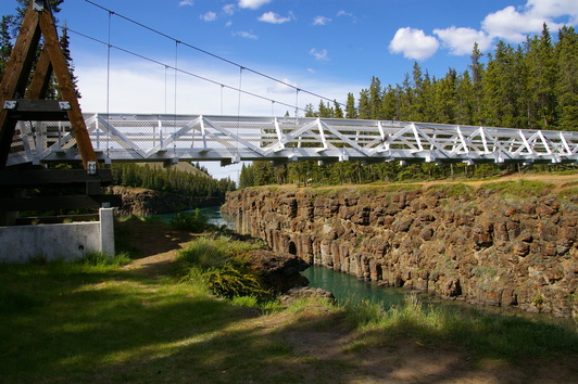
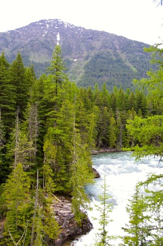
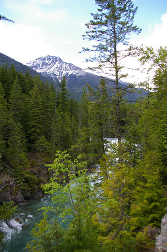
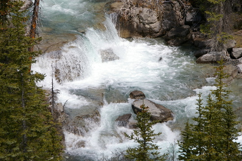
Walking bridge across Miles Canyon. The water really was that green.
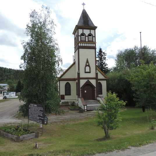
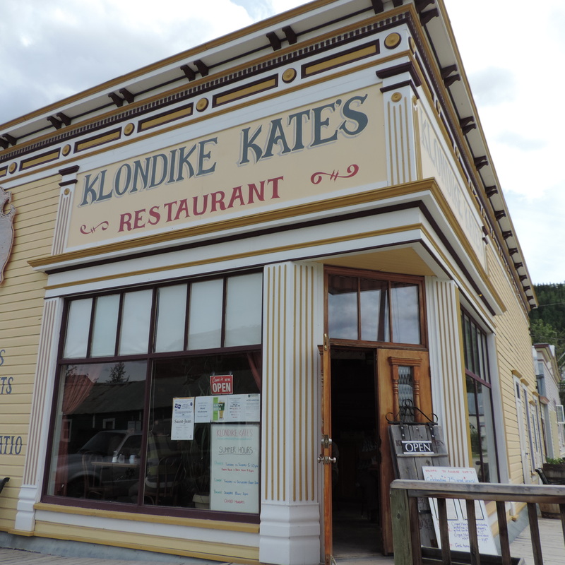
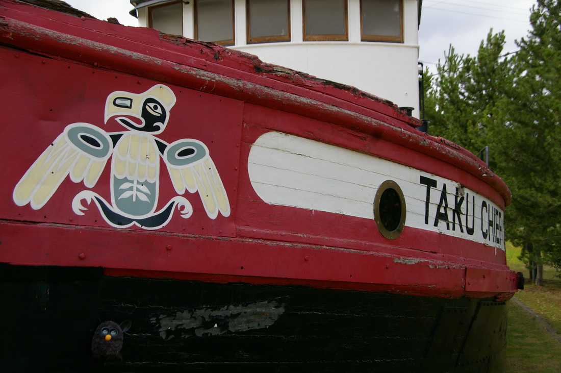
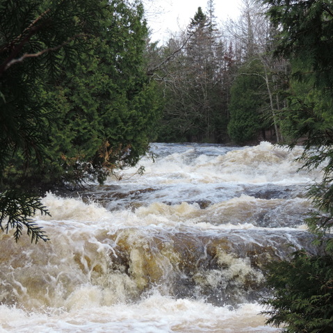
Dawson City...

Picture
Picture
Picture
Picture
Picture
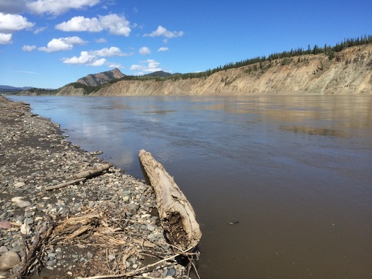
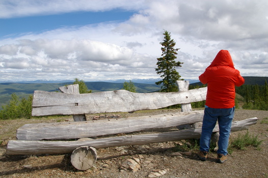
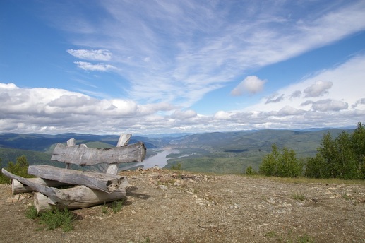
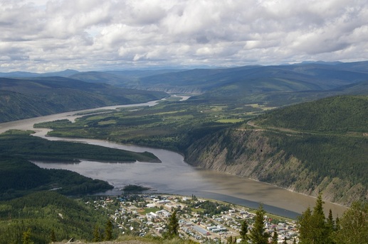
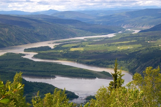
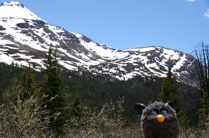
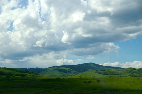
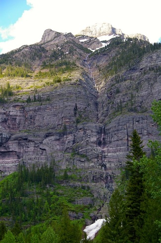
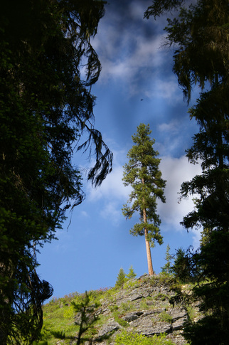
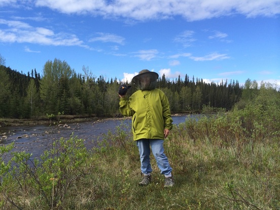
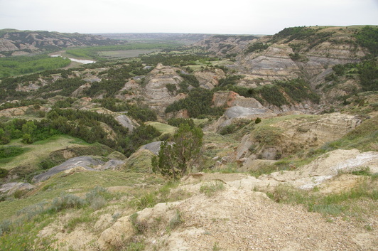
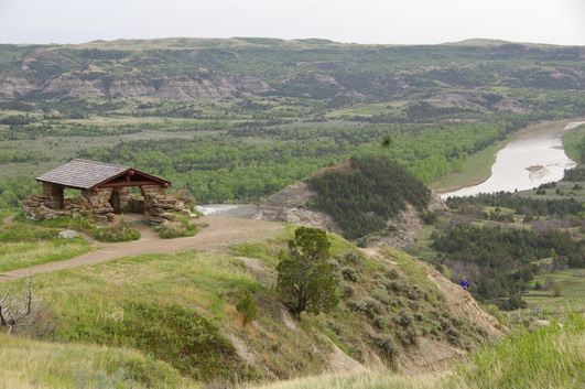
From the top of this mountain we can view Dawson City and the Yukon River.
Picture
Picture
Picture
Picture
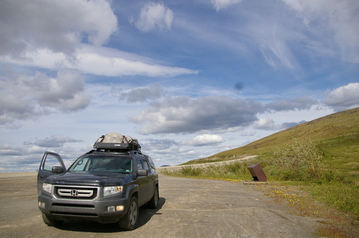
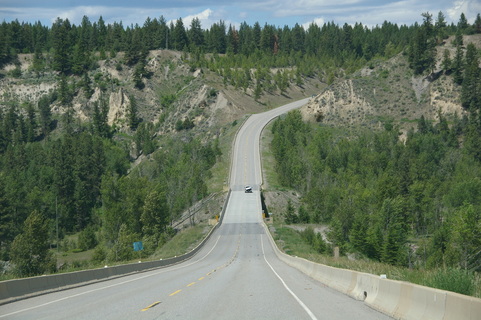
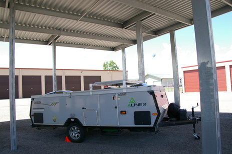
This is taken at the start of the Top of the World Hwy. after lunch in Dawson City. Note that the truck is reasonably clean. It will look much different at the day!
Good Night All,  Thanks for tuning in.   Love, Dave and Barb
3 Comments

For All You Hooligans, From Furby...

7/19/2014

1 Comment

 
Furby would like to share some pictures of places he has been on his vacation.   He also would like to show you some of the animals he has encountered on his trip.   Hope you enjoy Furby's adventures !
Picture
ONAWAY STATE PARK ON BLACK LAKE
Picture
OUR FIRST CAMPGROUND AFTER LEAVING HOME.
Picture
LAKE SUPERIOR, PORQUPINE MOUNTAIN STATE PARK
Picture
BLACK BEAR, WE COULD SEE THESE ANIMALS FROM OUR CAR WINDOW !
Picture
BIG HORN SHEEP, CANADIAN ROCKIES
Picture
BISON, ICEFIELDS PARKWAY, CANADA--- ALMOST AS BIG AS OUR TRUCK!
Picture
MY FIRST FERRY RIDE, GOING ACROSS THE YUCON RIVER AT DAWSON CITY, YUkON, CANADA
Picture
MEETING NEW FRIENDS AT THE POTATOHEAD CAFE IN VALDEZ, ALASKA
Picture
PLAYING HIDE AND SEEK
Picture
WITH DAVE AND BARB
Picture
IN PALMER, ALASKA
Picture
WILDFLOWER "DEVIL'S CLUB" 6 FEET TALL
Picture
RESTING BEFORE OUR HIKE
Picture
HIDING AND
Picture
WALKING ON A GLACIER
Picture
WHERE'S FURBY ?
Picture
Picture
Picture
I LOVE HIDING
Picture
CAN YOU
Picture
FIND ME?
Picture
GREAT ! ... I KNEW YOU COULD !
Picture
GLACIERS ARE SO COOL ! WE SEE THEM EVERY WHERE WE DRIVE.
Picture
THINGS THAT FLY, BIG OR SMALL
Picture
ARE BEAUTIFUL.
Picture
MARMOTS WERE ALL OVER THE WAYSIDE PARK ,
Picture
WHERE WE STOPPED TO FIX SANDWICHES.
Picture
MOTHER AND BABY MOOSE, IS SHE GIVING ME THE RASPBERRIES ?
Picture
YOUNG FEMALE MOOSE
Picture
AND MY FAVORITE PICTURE , A MOTHER AND TWO YOUNG MOOSE EATING BY A STREAM.
1 Comment

Furby Says Hi ...

7/19/2014

0 Comments

 
Picture
This post is from Furby,he would like to say hello to some very special people who are missed very much!!!!
Picture
Picture
Picture
Picture
Picture
Picture
Picture
Picture
Picture
Picture
Picture
Picture
Picture
Picture
Picture
We can't use the 'photo send' feature on texting here in Alaska or in Canada but we can get attachments in email.  Would love to see new shots of all you hooligans.    Email me at   dovebarb@yahoo.com 
0 Comments

Matanuska Glacier Hike on July 16

7/17/2014

0 Comments

 
Tonight we would like to share some pictures of our hike onto the Matanuska Glacier.  It is located on the Glenn Highway just east of Palmer.    The last few posts we have shown scenes from the Canadian Rockies- Icefields from back in June, but yesterday we were finally able to walk right up on a glacier here in Alaska.  We know we keep saying each day seems greater than than the last, but we can't help it since it really is the truth. 
Picture
Picture
Picture
Picture
Picture
Picture
Picture
Hello, kids!!!!
Picture
Picture
Picture
Picture
Picture
Picture
Picture
Last, but not least, had to get some flowers in!   Goodnight all, love you, Dave and Barb   And a big kiss for mom!
0 Comments

Even More Icefields Photos...

7/14/2014

1 Comment

 
Hello again !   These next shots are of the hike at Bow Summit.  The trail was about two feet wide, sometimes mud, or dirt, or ice, or a foot of snow.  Remember this was June, however the elavation was  6840 feet.  The views were breahtaking.   The one thing that was really sad was that my batteries died right at the top and there was the most  fantastic view of a Payto Lake with the most vivid turquoise color water and I have no pictures to show.  

( A quick note about this blog site.  If I send two posts in the same day the last  one appears first. I know it's confusing but I'm trying to get caught up  so bear  - no pun intended-  with me and just enjoy the pics. )
Picture
Picture
Picture
Picture
Picture
The trail started out looking easy but later got very tricky.
Picture
Great signage all the way up in French and English of course.
Picture
Picture
Picture
Picture

That was the end of the battery power but the rest will always be in our memories.   All our love!
1 Comment

More Icefields Parkway Photos...

7/14/2014

0 Comments

 
Before the Icefields photos, I have to tell you today the 13th of July is a very special day.  Oh, we went on the best drive since the Icefields.  The road was called Hatcher Pass, north of Palmer.  But that was nothing compared to getting our first picture of a moose !!!!!  Since the beginning of June, we have been looking for all the moose that everybody says are all over the place but have  only seen a couple moose butts heading back into the trees, no pictures there.  At last, here is a cow and calf standing only a few feet from the car as we came around a curve on a dirt road.  I didn't roll down the window because I thought it might spook her so the photo isn't real clear.
Picture
Picture
Lieb, this one is for you! I guess she was saying, " Ok, You had your one shot! "
You will have to wait for Hatcher Pass photos,  I want to get back to the Icefields photos because after those will come Alaska and I'm trying hard to get caught up to the present.  We made it to AK on June 21,  only  twenty-three days ago and you can't imagine all the things we have seen.
Picture
Picture
Picture
We have the great Alaska Extreme Weather Tent from Cabela's. It's a big 12' x 12' tent but very easy to put up.
Picture
Picture
Picture
This waterfall was right in our small campground with only 15 campsites.
The next pictures were along the road right by the camp.
Picture
Picture
Picture
Picture
Picture
Picture
Picture
Look how small the row of huge pine trees seem!
Picture
Everywhere you looked there were so many different textures and colors. I drove David crazy wanting to take more pictues.
Picture
Picture
Picture
It is the most exciting thing to see the wildlife right beside your truck.
This post is getting very long , so I,ll close for now.  I want to do another one of the hike we did this same afternoon.  See you in a minute!
0 Comments

Icefields Parkway from Early June...

7/13/2014

0 Comments

 
The Icefelds Parkway goes through Baniff National Park and Jasper National Park in the Canadian Rockies.  We camped about half way across the Parkway at a rustic campground at an elevation of  6900 feet  and it was worth every chilling moment.   Here are pictures of our campsite and the drive.
Picture
Picture
Picture
Picture
Picture
Picture
Picture
Picture
The clouds in the north are so amazing, you feel like you can reach up and touch them.
Picture
Furby wanted to tell our grandkids how happy he is that they gave him to us to share our journeys.
Picture
He also wants to know why they didn't get him a winter coat !!!!!
Love you guys, talk to you soon!
0 Comments

Glacier N.P. from June 6....

7/13/2014

0 Comments

 
 This was my first time at the Rockies and I couldn't stop taking pictures. These were all taken on June 6, what a way to spend a birthday!
Picture
Picture
Picture
Picture
Picture
Picture
Picture
I am going to post these pictures of Glacier and then do another blog of the Icefields Parkway that we did next. 
0 Comments

Posted July 12th, 2014 ... Memories of  Montana

7/12/2014

1 Comment

 
Before I start the catch up part of the journey, here are a few of the wildflowers in Alaska that grow abundantly on the roadside, in the rocks and near the snow.
Picture
Picture
Picture
Picture
Picture
I have taken so many flower pictures, it's hard to pick. These were some of the small ones. Another time I'll have to show some of the tall varieties.
Going back to the begining of June, we dropped the Aliner off at the Windmill Storage Center on June 6 and paid for four months of storage.  We found out the pass was closed for two more weeks at East Glacier so we stayed there one night and walked some, then headed for West Glasier to use the boarder crossing at that side. We spent time in Whitefish, MT  before crossing on June 10.   Here are some pics.
Picture
Picture
The sites at Glacier were right on top of each other but it was beautiful.
Picture
Picture
See the road on the right? That's the same road as the one in the center that we are driving on. From then until now, that's pretty much what all the roads are like that we're on. This is a really mild one. We will be driving lots on hairpin turns on the sides of mountains. David loves it.
Picture
One of the many, many waterfalls we get to see.
Picture
Picture
This is our first black bear picture. We slowed down enough to take a short video of him walking along the side of the car but when he looked over and gave me the eye I put the camera down and waved goodby. Earlier that day we saw a grizzly bear walking along the tree line but didn't get a picture.
Picture
Camp at Whitefish, MT
Picture
Picture
This was our view when we entered British Columbia.
Picture
This is Tangle Falls
Picture
Picture
These Big Horn Sheep were hanging out at Tangle Falls posing for everyone.
Well, that's all for today.  We moved camp today to Palmer, AK  and even have 4G on our phone.  Might be because we are only 45 miles or so from Anchorage.   More tomorrow,  Love,  Barb and Dave
1 Comment

Views Across Montana...

7/10/2014

0 Comments

 
Picture
Picture
Picture
We are still in Valdez.  The 1st and 2nd picture were taken in the harbor. Then, when we got back to the camp at 8pm, this is the view we had from our tent door.  We were literally inside a cloud.  Today is raining so we are at the library doing some blogging.  Had a great lunch at the Highway Potatohead Cafe.


Now I'll get back to past journeys starting with June 1 , entering Montana.  We're back on good old Hwy.2 heading you know where, WEST.
Picture
Picture
Picture
This is me in my new hat from a Montana National Park  ( thanks Sue for turning me on to ball caps, David says he likes me in them )  and this is us roughing-it at a great Mexican Resturant in town.
Picture
Picture
Picture
Picture
Picture
The pictures above are views of the roadside as we're driving.
Picture
View from our campsite at Flathead Lake near Kalispell
Picture
Took this right from the car window while moving, you can't always stop with traffic behind you.
Picture
Bugs won't get me or Furby!
Picture
Picture
We stopped at a wayside to have lunch and this guy brought his to join us.
Picture
Here I'm putting things in piles. What has to go in the truck for Alaska. What has to stay back with the camper. And. What I want to take but someone else doesn't think I need.
Picture
Picture
In the next blog we drop the camper off in Kalispell, MT at the Windmill Storage Center on Juen 6  and go tent camping in Glacier N.P. and near the town of Whitefish, both fabulous places. Then cross the boarder into Canada on June 10.   Talk soon. ( or what ever you call it ).   Love to everyone!
0 Comments

Continuing With May Travels...

7/10/2014

0 Comments

 
First  I will show you our campsite for today,  July 10, 2014.   Blueberry Lake State Campground,  Valdez, AK .    Elevation 2080 ft.   surrounded by mountains and very private, only 15 sites total  and only 24 miles from Valdez.
Picture
Now, going back to the end of May, our next side tripe off of Hwy.2 was the Teddy Roosevelt National Park, North Entrance.  This is located in the Badlands of North Dakota almost to the Montana boarder. Stayed 3 nights, fee free.  Here's some pics...
Picture
Picture
Picture
Picture
Picture
Picture
Picture
Picture
Picture
Picture
Picture
This is my first experience  with free range grassing.  I opened the camper door and cows right outside, very cool.
0 Comments

Living Life In The Wilderness

7/2/2014

3 Comments

 
Picture
Today is July 1, 2014,  seems like we left home yesterday, seems like a year.  It's actually been 45 days, which really seems impossible with all the things we have seen.  Coming back from the Arctic Circle our trip odometer passed 7500 miles and we still have 8 to 10 weeks before we get back to Montana to pick up the camper from storage to head south. The picture above was taken yesterday on our way back from Galbreth Lake, 115 miles north of the Arctic Circle along the Dalton Highway.  For 2 nights we had 2 different campsites so I guess that makes North Pole, Alaska our domicile. We left our big tent set up near North Pole,  at Rivers Edge campground (great place with super nice owners and hosts and really hot showers only 9 miles from Fairbanks).  Then we drove up the Dalton Hwy. and pitched the small tent at Coldsfoot, at the BLM campground Marion Creek for two nights and drove the other 115 miles up to Galbreth Lake.  This took us past the line where there is no more forest.  The mountains and valleys had beautiful green colors as you drive by but when you walk around  there are so  many flowers of different colors and sizes, so of course we spent hours photographing them.    I won't show you flowers right now though, because I need to go back a few weeks and do a photo essay of where we've been living in the wilderness with no internet and very rarely a phone signal.
Picture
OK, so I had to show you a few , I couldn't  help myself.
The last blog was us leaving Lake Superior, so I'll give a condensed itinerary then do some pictures .   We left the Upper, into Wisconsin, and followed Highway 2 west.  We only traveled a short distance into Minnasota before we took our 2nd side trip, the 1st being the "Porkies" on Superior.  The side trip was to Lake Itasca State Park, 60 miles south of  Hwy.2, and lasted a week. The park is a huge old-growth hardwood forest and also includes the site of the headwaters to the Mississippi River.  There is a fantastic outdoor interpretive center  and stairs where you can walk across the Mighty Miss. Since it was Thursday of Memorial weekend we actually camped 5 nights at a nearby rustic state forest campground at Hungry Men Lake with only 14 sites as opposed to Itasca with it's 224 sites.  The 1st night we had the whole place to ourselves.  Signs were posted near the boat dock that this was a Loon Nesting area and we were certainly serenaded each night.


                                 Bond Falls on Hwy. 45 on way to the " Porkies"
Picture
Picture
                           Hungry Men Lake  and  Lake Itasca State Wilderness
Picture
Picture
        Hungry Man Lake


Tallest White Pine


                       Tallest Red Pine


               Headwaters
Picture
Picture
Picture
Walking across river and 
remembering past 
family and friends.
Picture
3 Comments

    Archives

    October 2015
    September 2015
    August 2015
    July 2015
    June 2015
    February 2015
    January 2015
    December 2014
    November 2014
    October 2014
    September 2014
    August 2014
    July 2014
    June 2014
    March 2014
    February 2014

    Categories

    All

    RSS Feed

Proudly powered by Weebly