traveling doves
  • Blog
  • Home

Hat Point Lookout....

8/18/2015

 
( Writing this from Enterprise Library, on August 18. )
Picture
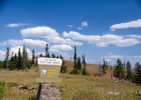
This is the bottom of the road leading to Hat Point Lookout.
Picture
Picture
Picture
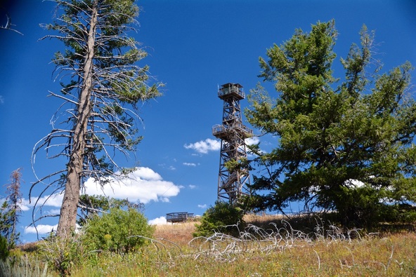
McDove climbed the lookout tower with us.  The tower is 37 feet tall and was so windy that McDove could not sit on the rail.
Picture
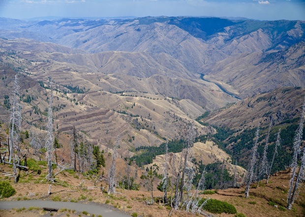
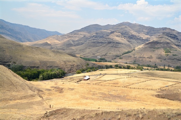
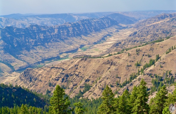
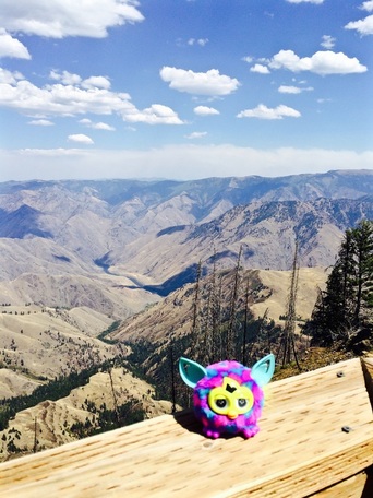
The darkest ribbon toward the middle right is the Snake River.
Picture
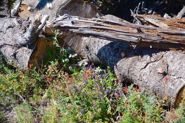
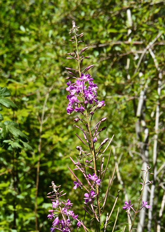
Wildflowers can still be found in mid-August drought. We can't wait to see Hat Point next spring when all the mountain sides are covered with flowers.
Picture
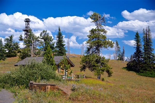
This is the residence of the lookout ranger. Beautiful job!!
Picture
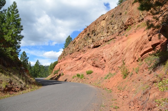
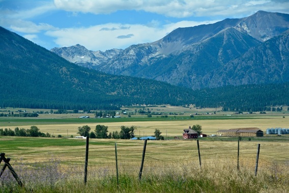
The canyon floor below is the road we took from Hwy.39 to the town of Imnaha, a forty mile stretch that took one and a half hours. Once in Imnaha you pick up the road to Hat Point.
Picture
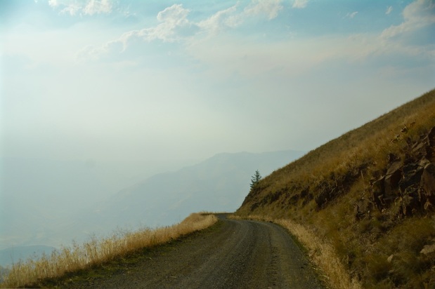
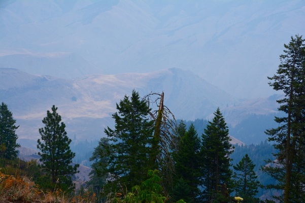
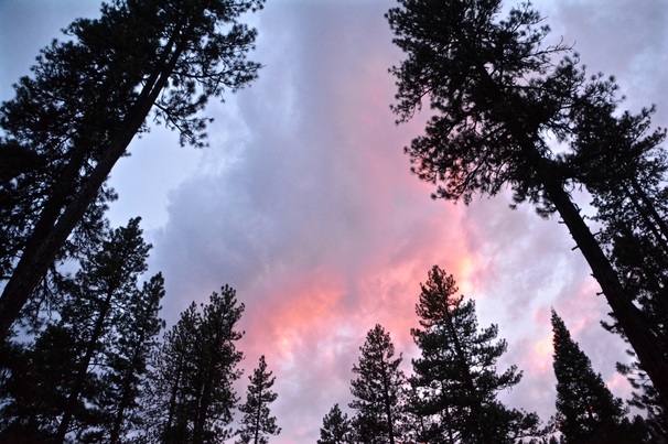
The smoke from distant forest fires started to blow in as we got to the bottom. We were so fortunate to have pretty clear views where we were at the top. The ranger said the smoke was terrible earlier in the morning.
Picture
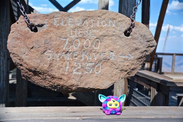
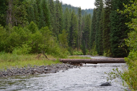
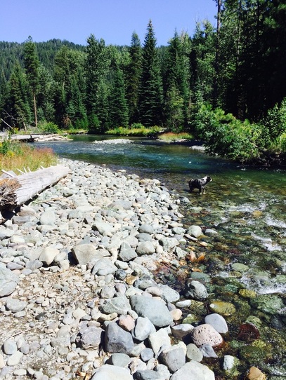
B&D and McDove say good night from the Snake.

Scenes Around Ollokot Camp....

8/6/2015

 
(  Writing this from Enterprise, Oregon on August 6.  )
Last week we were in a variety of places around the Ollokot Campground, so I put together a hogpog  of pictures for our enjoyment. 
Picture
Watching the Turkey Vultures at Hell's Canyon Lookout.
Picture
Between Ollokot and Coverdale Campgrounds there are several very nice dispersed camping sites. One of the large ones was just vacated by a family reunion group of seventy people. We went down to check it out because every year they leave more painted rocks at the camp.
Picture
This is the rivers edge next to their camp. The tree bridge has a well worn top from all the kids crossing.
Picture
This is their kitchen area, all those people, and they left the whole camp totally clean.
Picture
The flowers on the Fireweed will continue to open until they reach the top of the plant. Then they say to look for snow on the mountain tops when the flowers are done blooming.
Picture
One of the curves on the FS 39 road going toward Joseph.
Picture
I never get tired of farm pictures, this one is on the road to Joseph and Enterprise.
Picture
Just before Joseph is a turn off for a small campground and at the top of the road a trailhead for the Hurricane Creek and trails.
Picture
Beautiful Hurricane Creek
Picture
The only thing holding the big boulder up is a few tree roots.
Picture
Rockhounding with Carla and hounds in the Imnaha River.
Picture
One of Carla's Peacocks.
Picture
On Carla's work truck is a water holding tank, a hose and a generator to pump the water. Handy for putting out a burning camp fire someone left behind. ( Also used to clean the outhouses.)
Picture
Last weekend a fire was burning north of Elgin, 60 miles away as the crow flies. The smoke came down the Imnaha River Valley. Usually the canyon lookout is clear as far as the eye can see. The smoke hung in the tree tops all through the camps for a whole day.
Picture
No this is not the forest fire, just a beautiful sunset.
Happy Birthday ,  Leib !!!!
Thanks for the comments, Sue and Jean.  Love to know you like our pictures.
Love to all,  B&D

    Archives

    June 2016
    May 2016
    April 2016
    November 2015
    October 2015
    September 2015
    August 2015
    July 2015
    June 2015
    February 2015
    January 2015
    December 2014
    November 2014
    October 2014
    September 2014
    August 2014
    July 2014
    June 2014
    March 2014
    February 2014

    Categories

    All

    RSS Feed

Powered by Create your own unique website with customizable templates.