traveling doves
  • Blog
  • Home

A Week on Indian Pass Road ( Part 2)....

1/31/2015

 
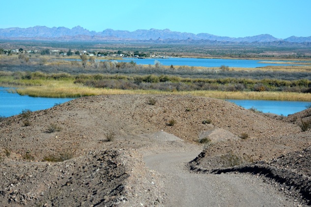
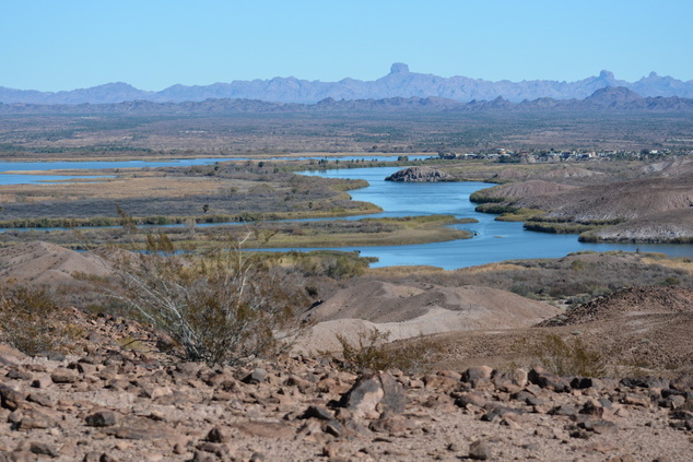
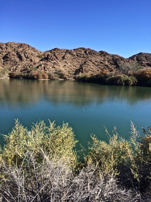
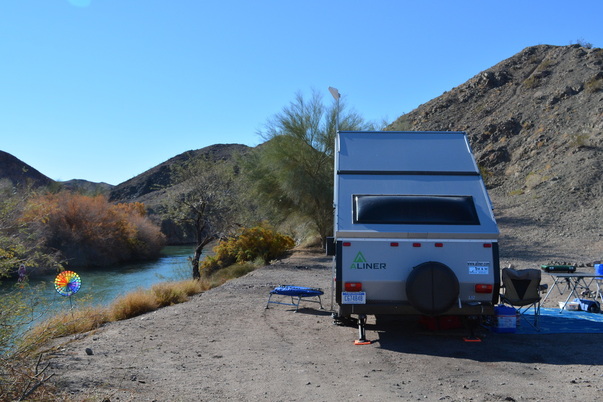
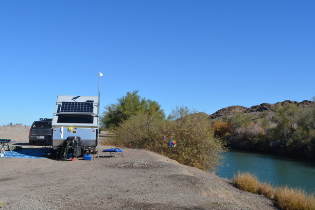
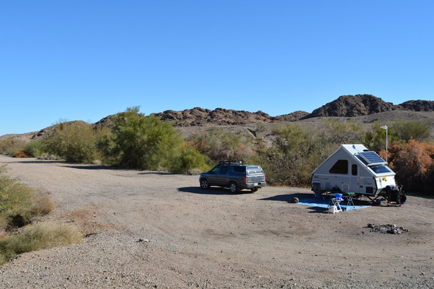
(  Writing this from Ferguson Lake Road on January 31.  We just moved yesterday and our new boon-docking site has a great signal. )
To finish up the time from January 22nd until the 30th, we had to divide the post into two parts because we have a lot of pictures to share.  
If you like, you can scroll down to part one to read that post first.
Picture
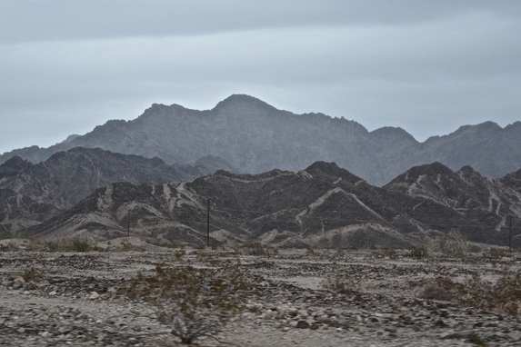
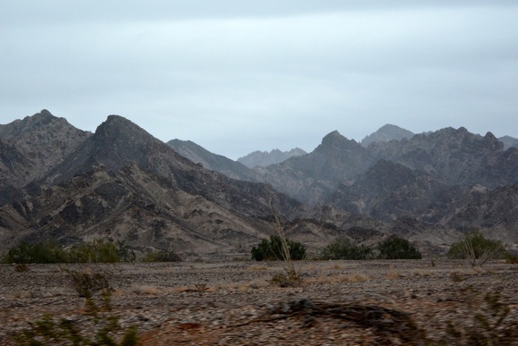
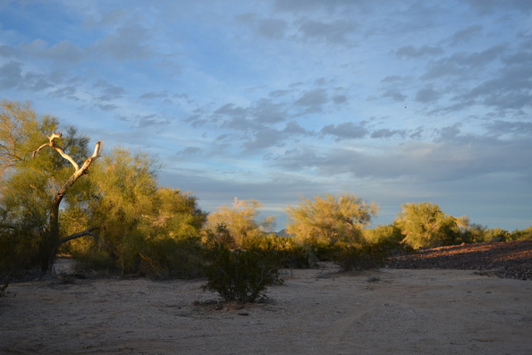
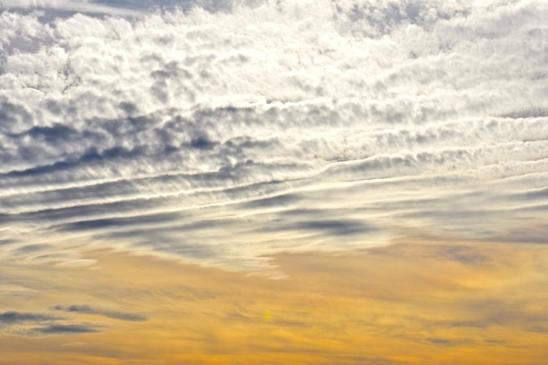
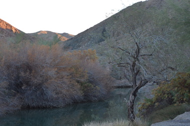
Sunday was drizzly and we stayed home and read.
Picture
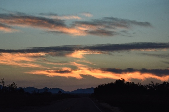
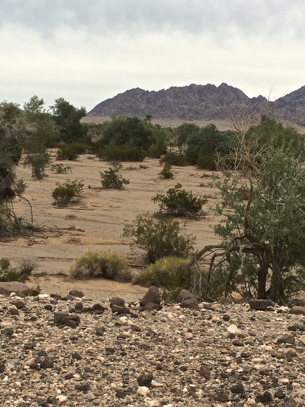
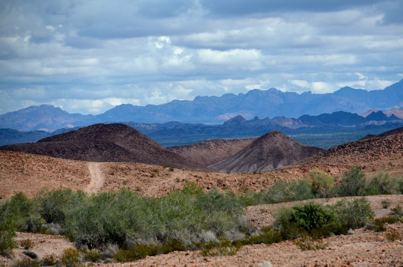
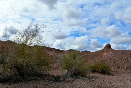
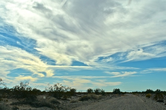
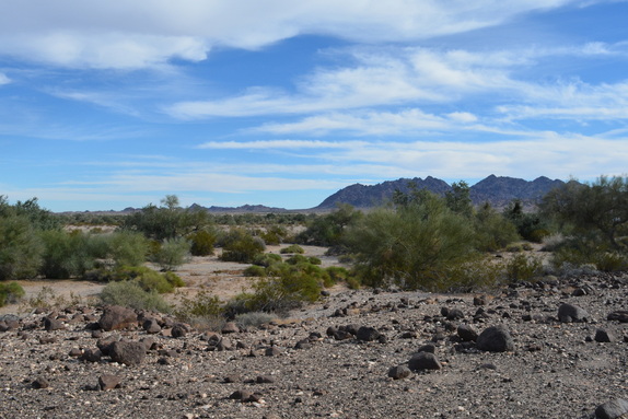
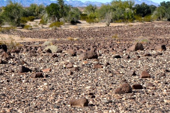
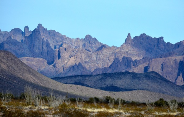
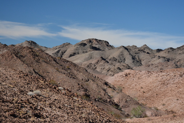
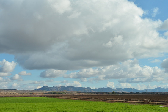
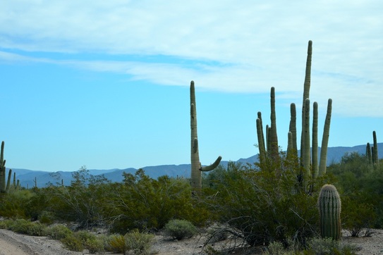
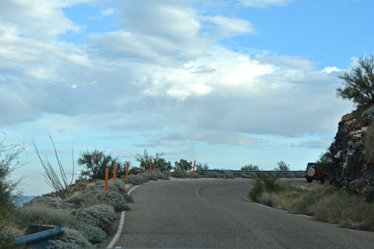
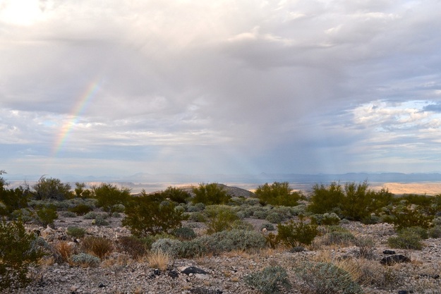
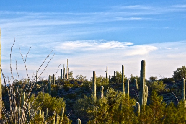
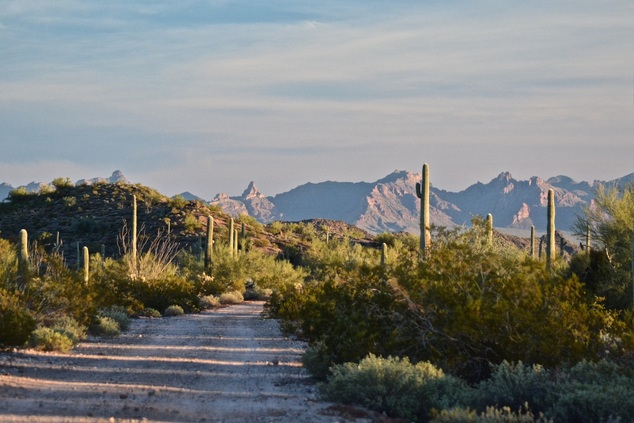
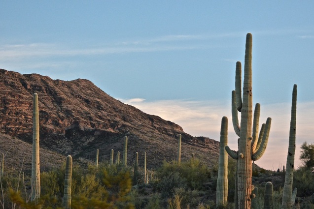
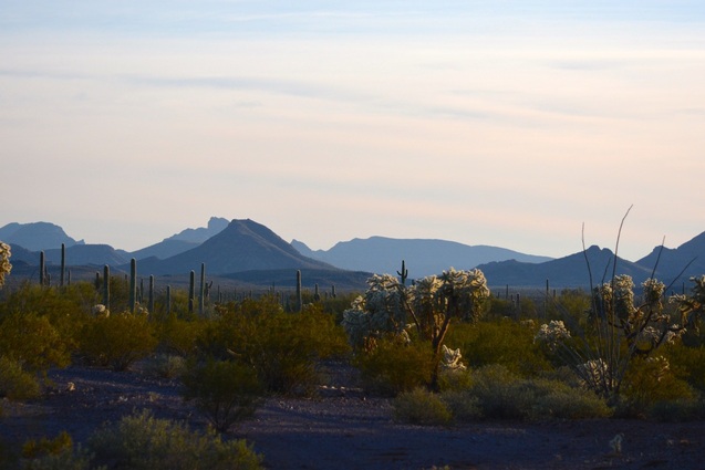
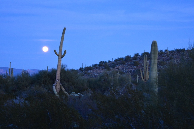
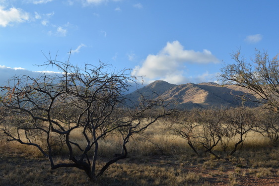
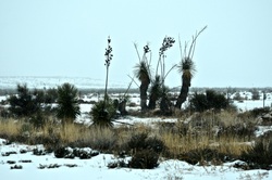
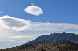
Even with the drizzle the landscape is worth a few pictures.
Picture
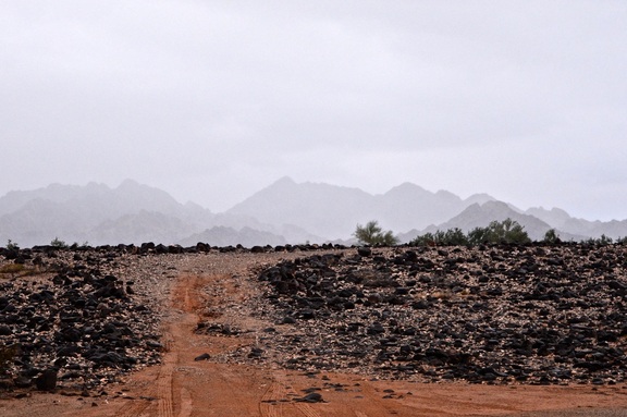
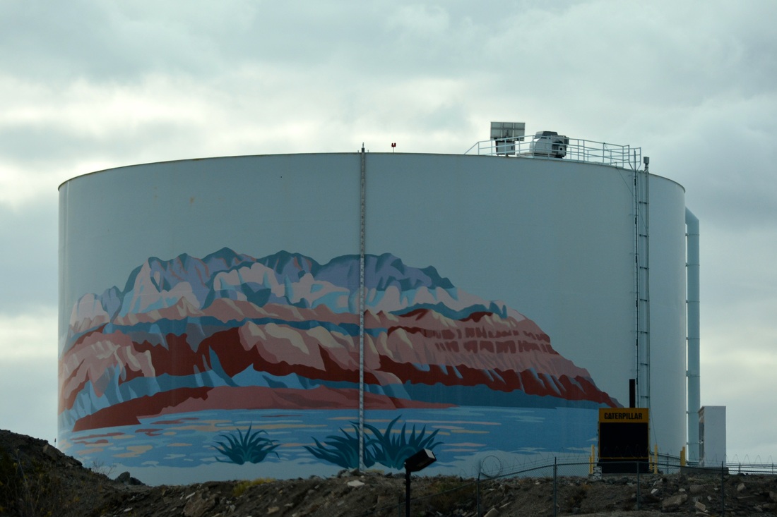
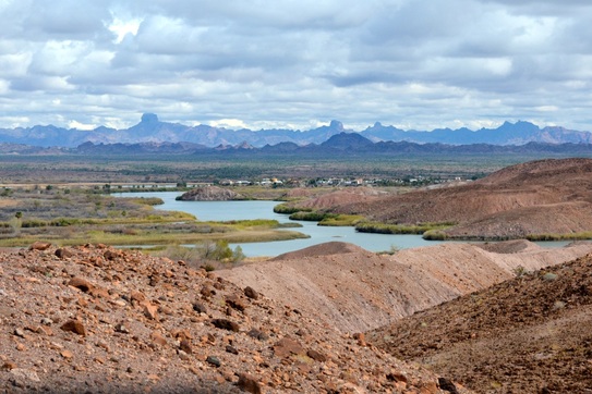
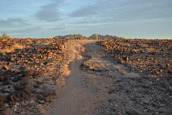
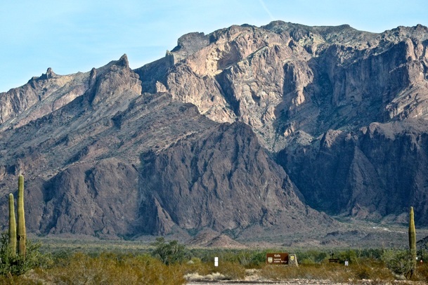
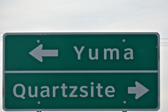
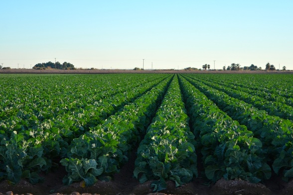
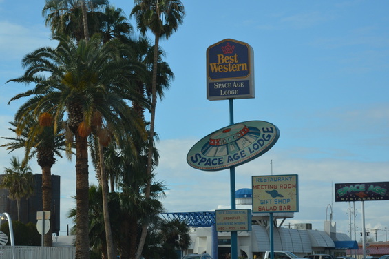
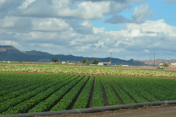
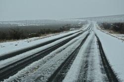
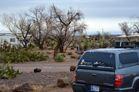
Monday it rained again, so we drove to the city of El Centero, CA for maps from the district BLM office. BLM offices have very detailed maps of every dispersed camping trail and road. This is the only picture I took that day.
Picture
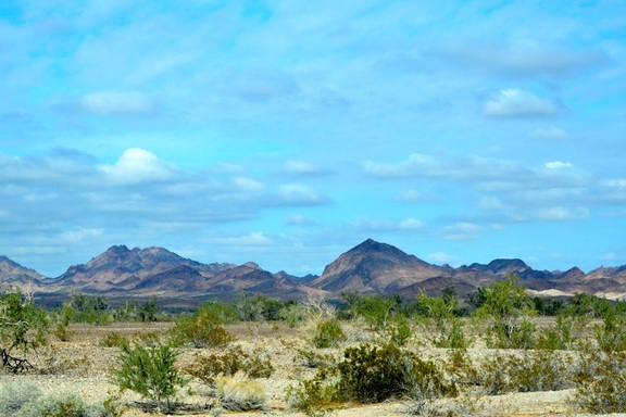
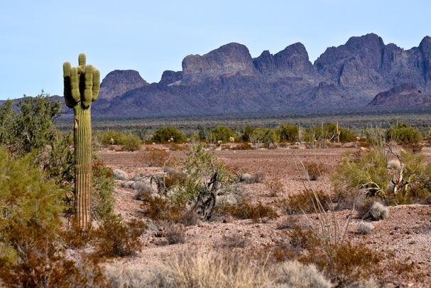
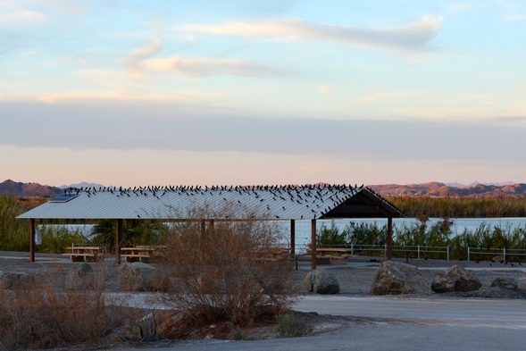
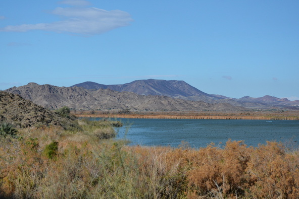
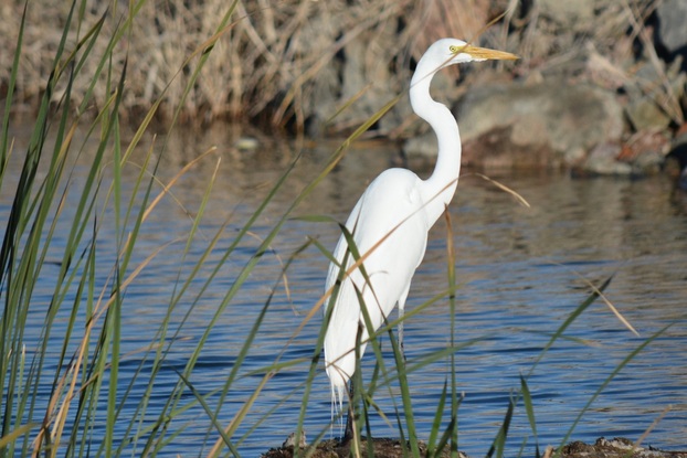
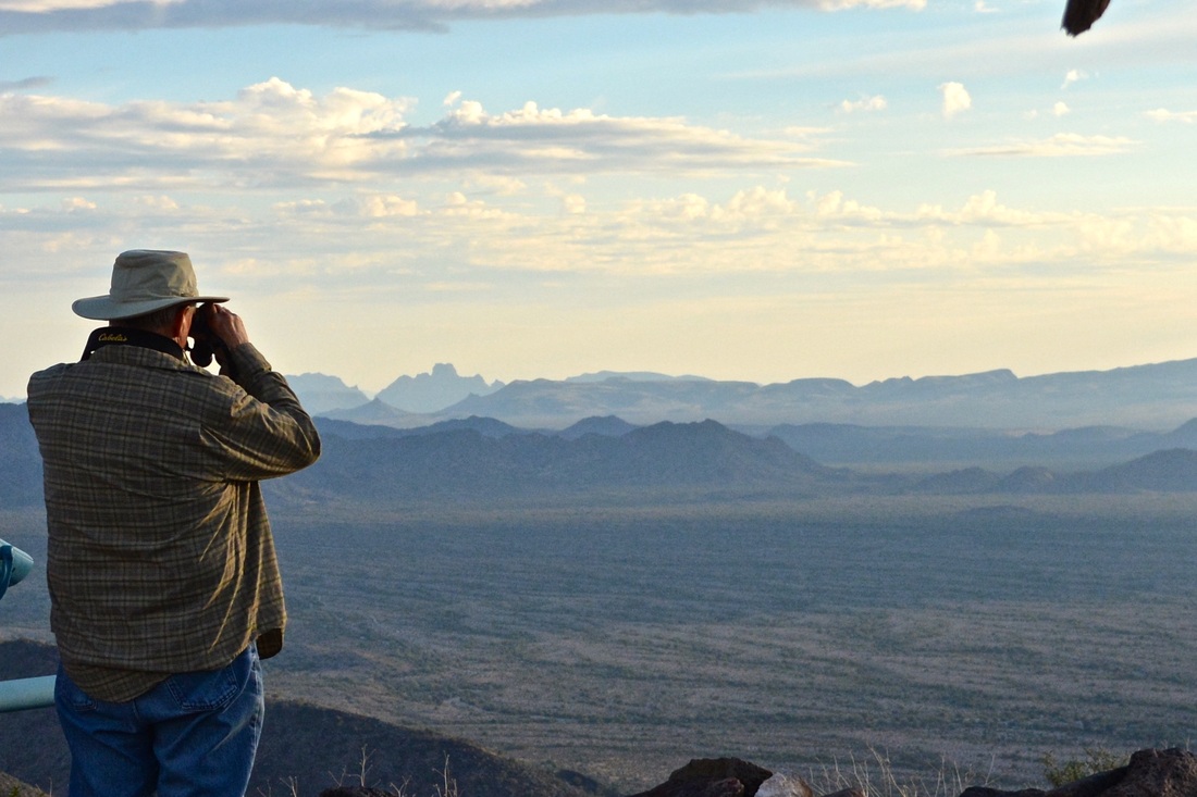
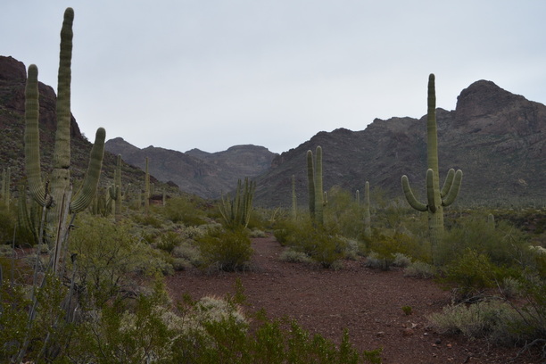
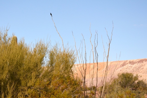
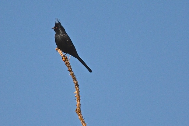
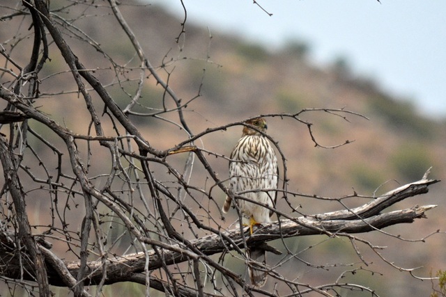
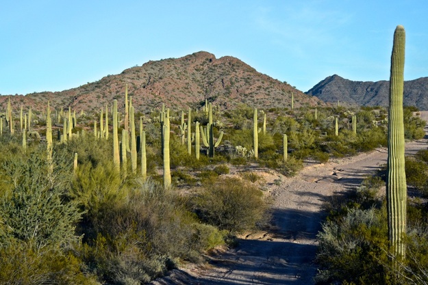
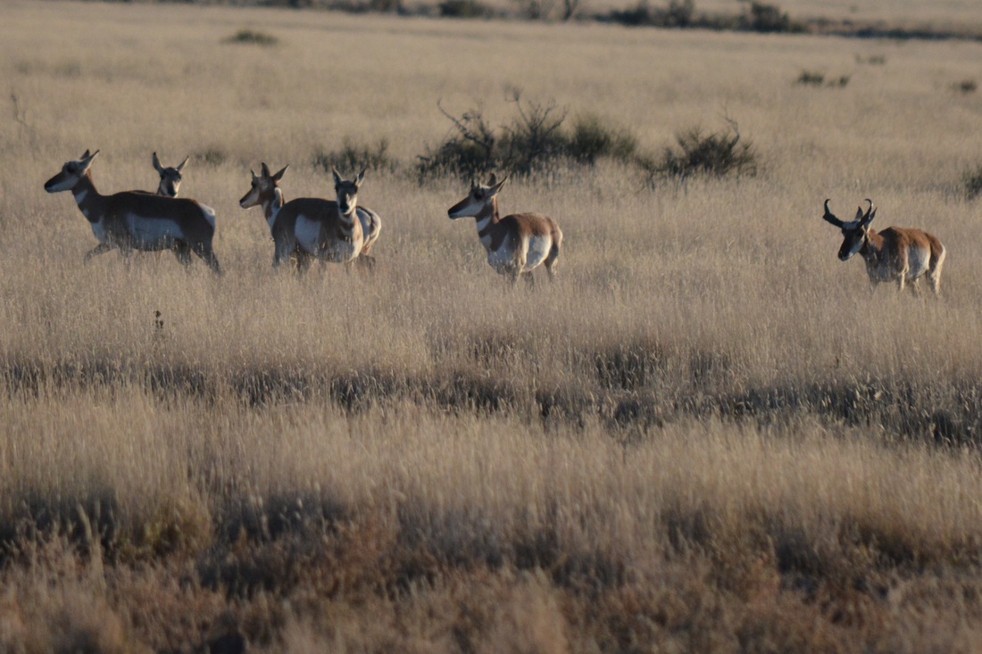
The sun is back and we are taking a drive to the nearby Cibola National Wildlife Refuge.
Picture
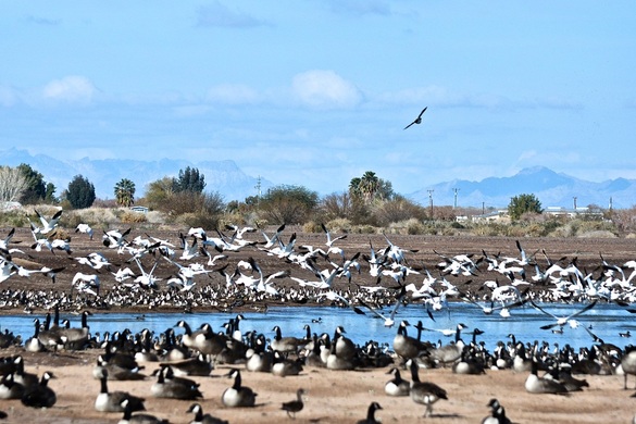
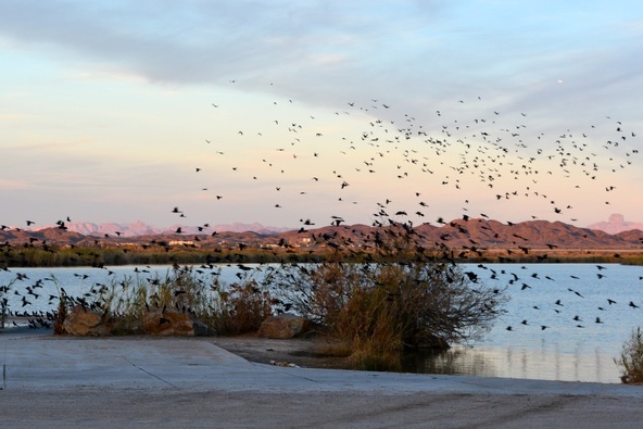
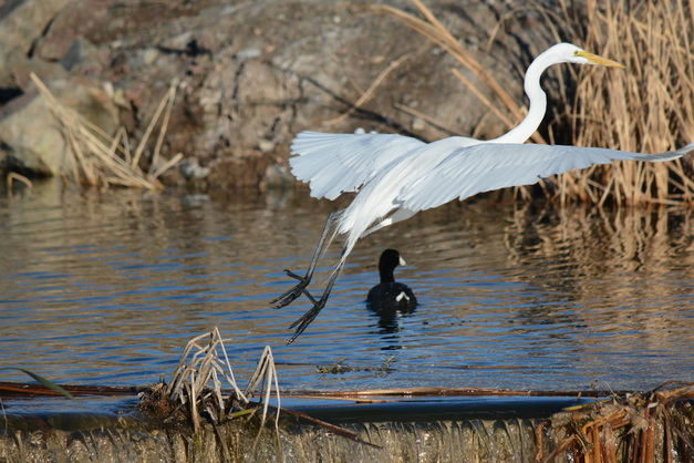
At the refuge there is a driving loop to view different kinds of wildlife, but you can't get out of the car. While we were parked watching all the waterfoul, all the snow geese got up together...
Picture
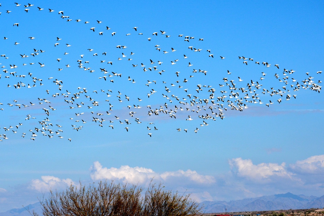
... they all flew a few yards in one direction...
Picture
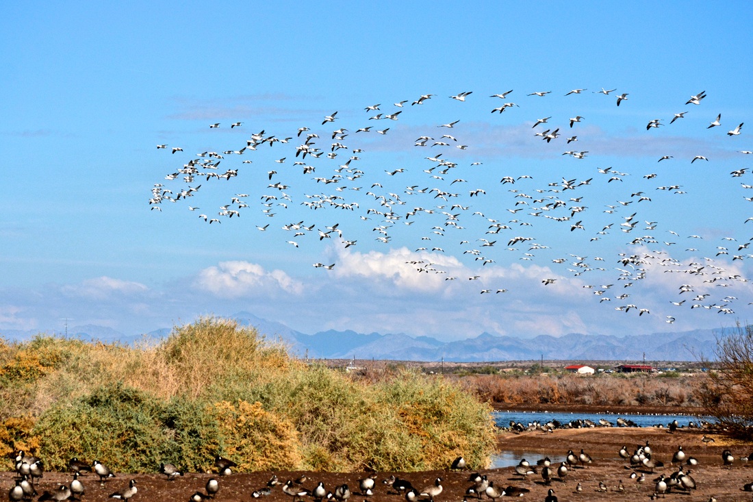
... all turned around together and flew back...
Picture
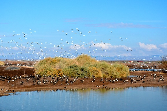
...and landed in almost the same spot!
Picture
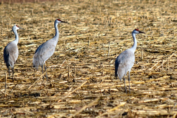
Further along we came to a chopped-up cornfield where sandhill cranes come to eat.
Picture
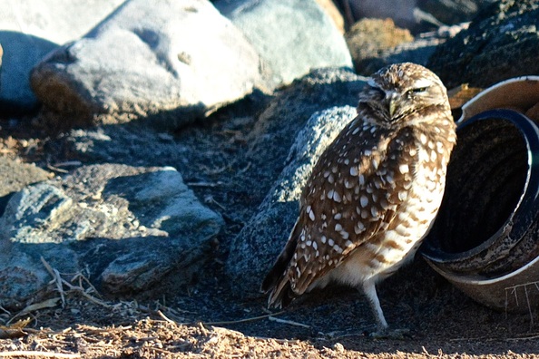
All along the loop road there are PVC pipes set into the ground to attract Burrowing Owls. We were lucky enough to see three on our drive.
Picture
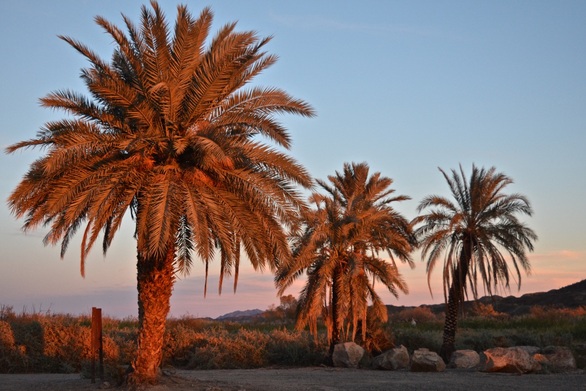
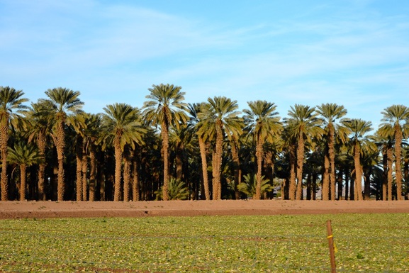
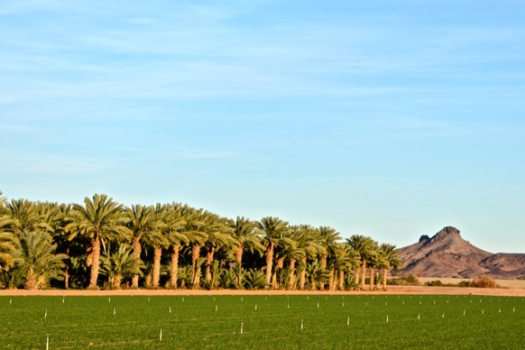
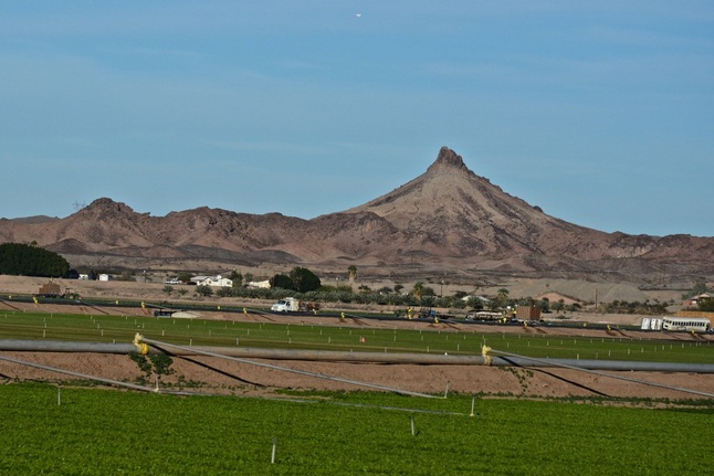
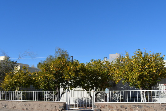
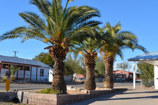
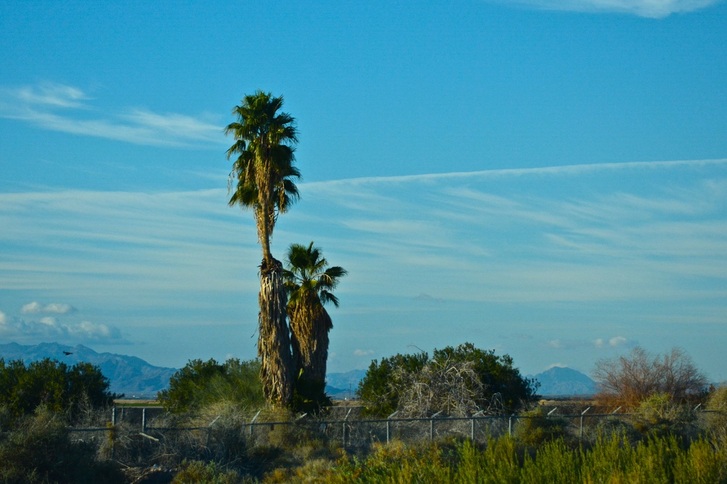
There is also a hiking trail at the refuge which we walked but we didn't have to many pictures from there.
Picture
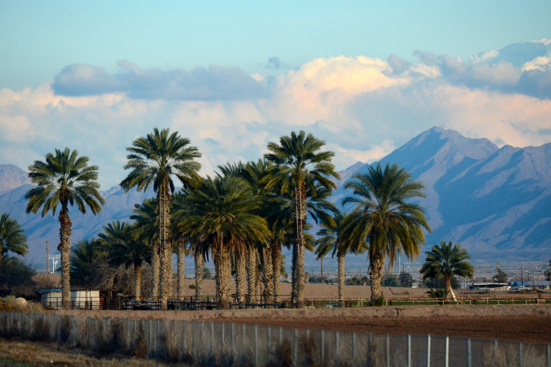
On the drive home we passed lots of farms, this group of palms was shading a horse corral.
Picture
Picture
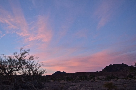
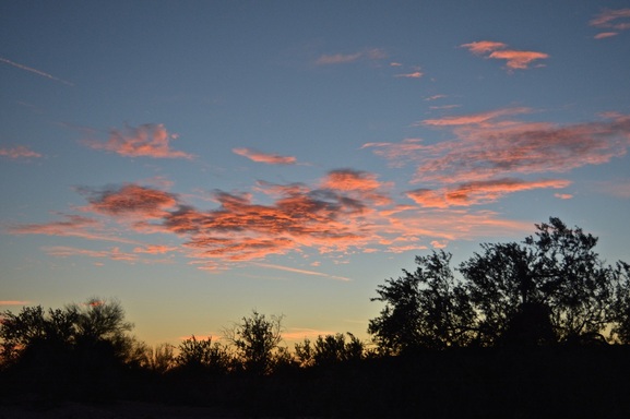
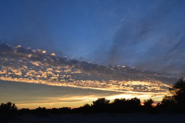
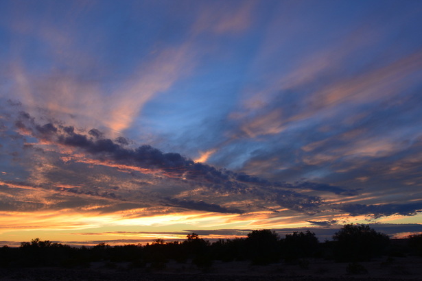
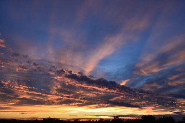
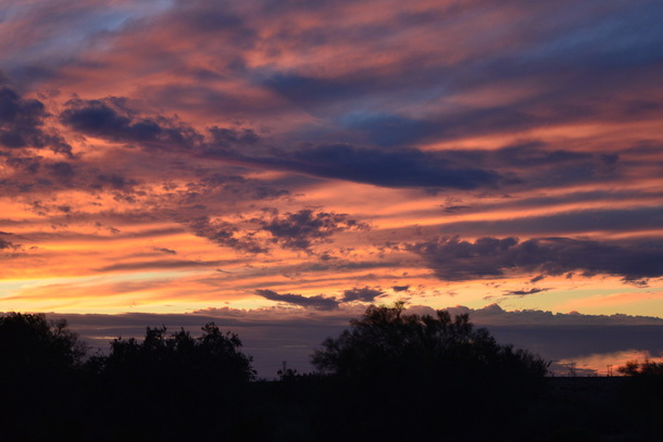
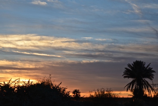
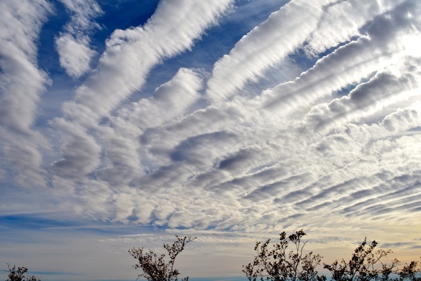
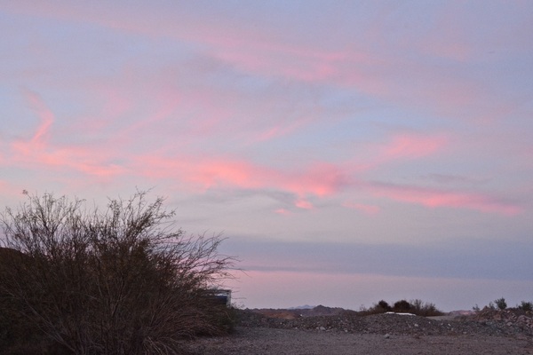
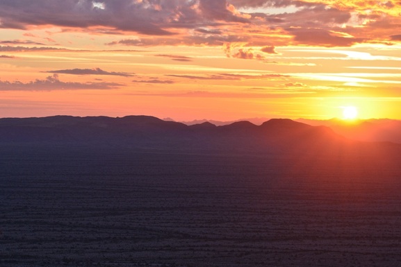
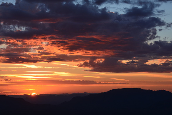
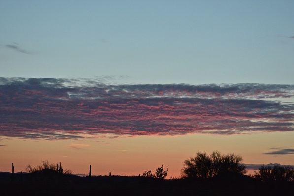
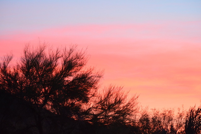
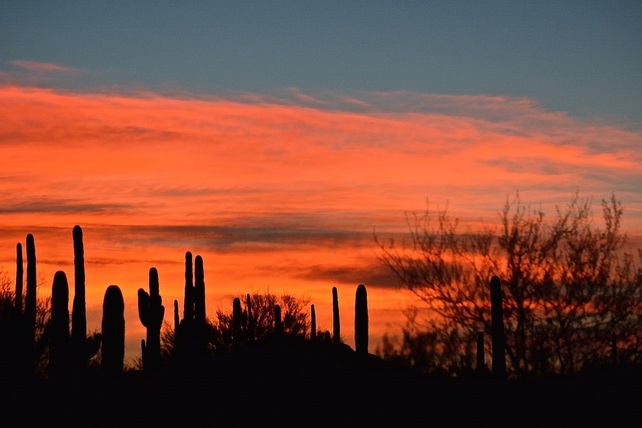
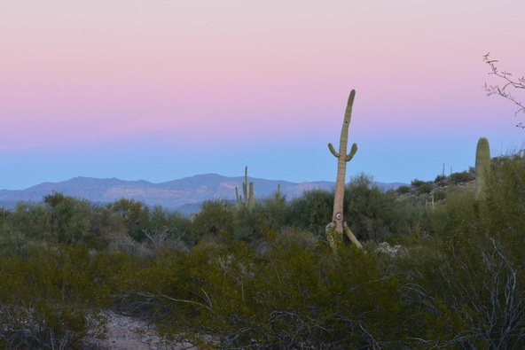
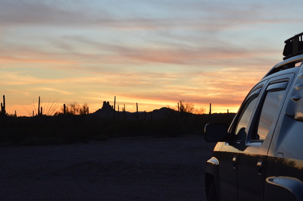
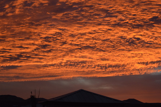
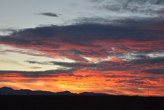
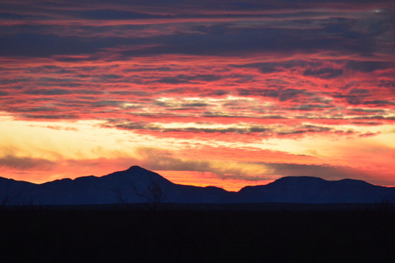
Tuesday evening sunset.
Picture
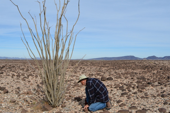
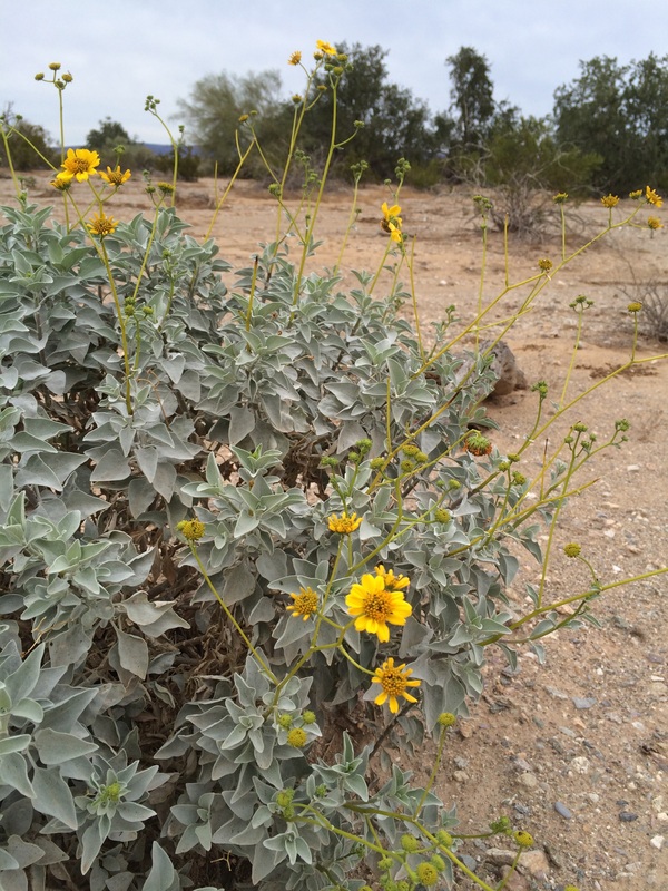
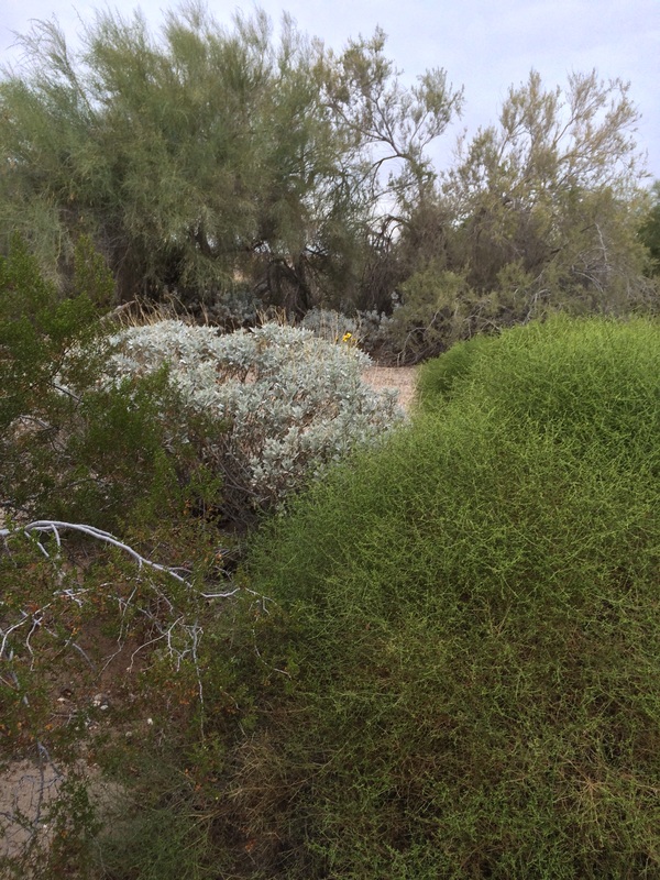
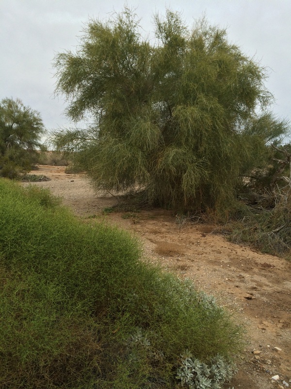
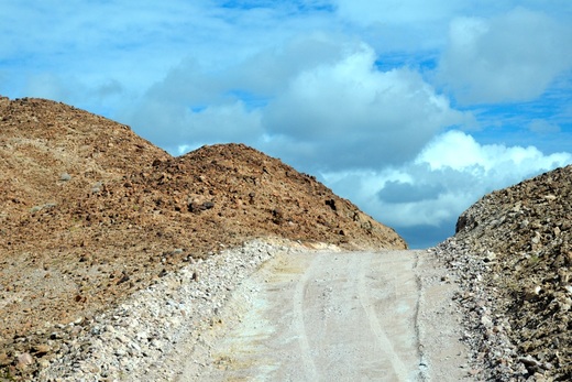
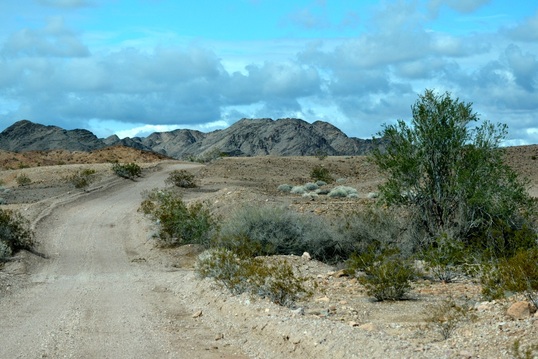
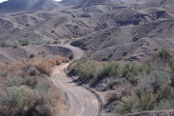
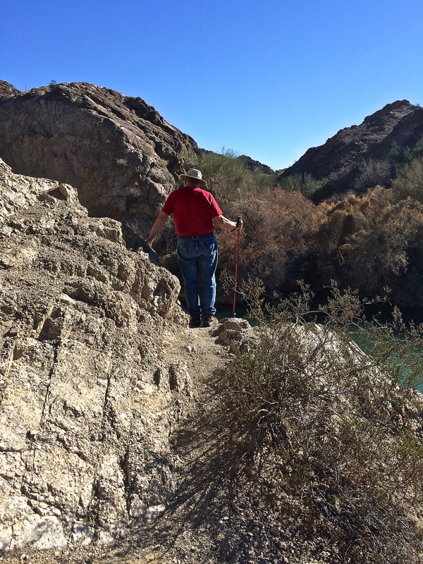
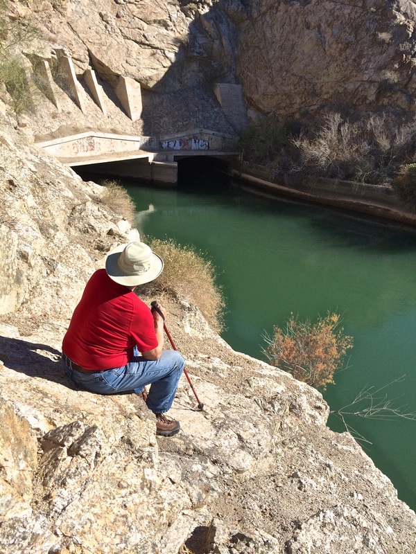
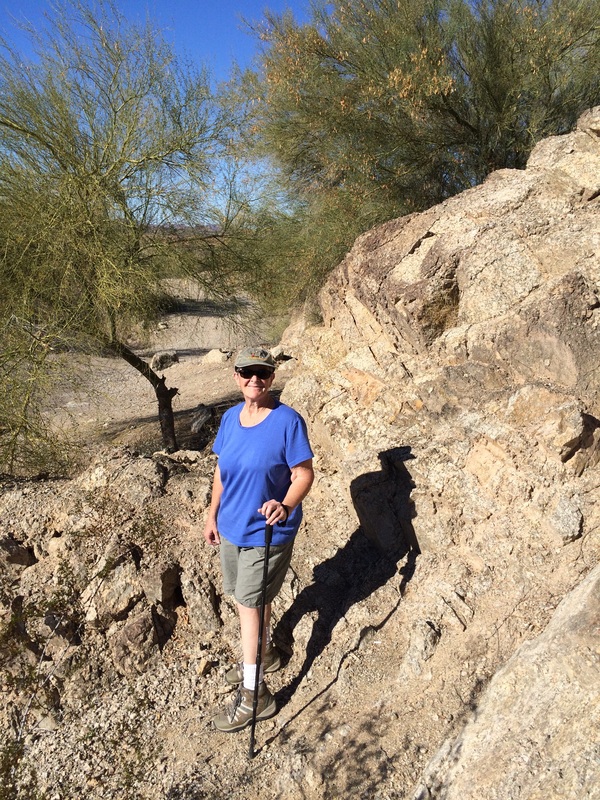
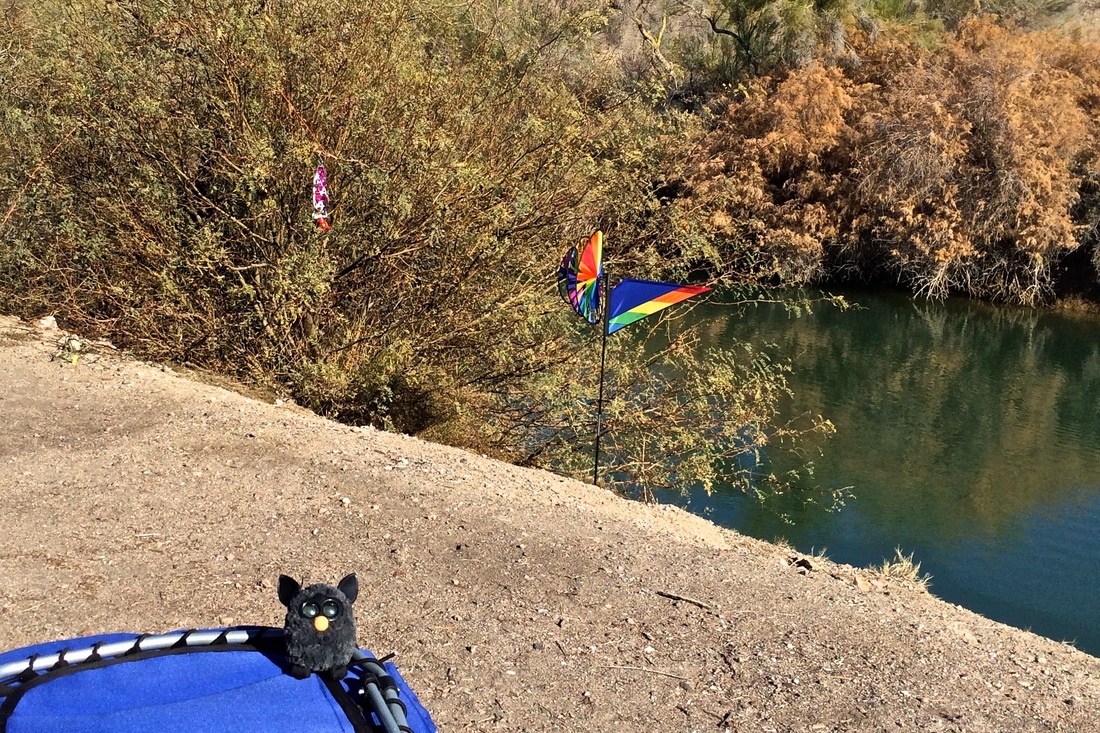
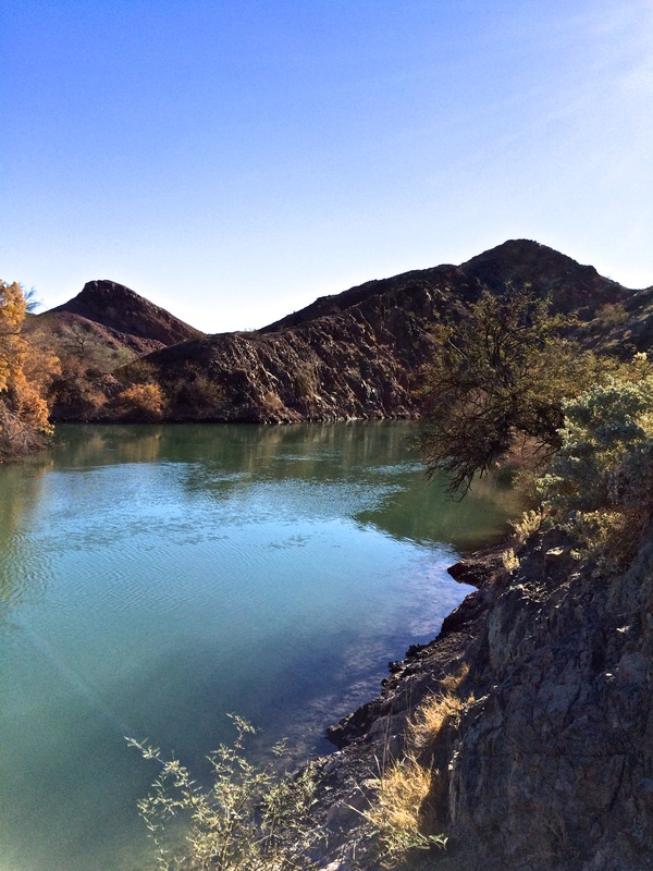
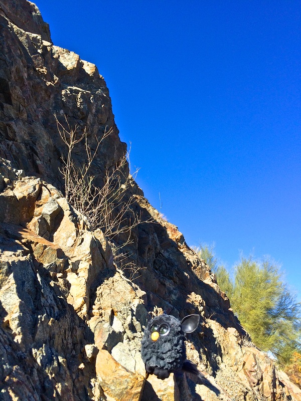
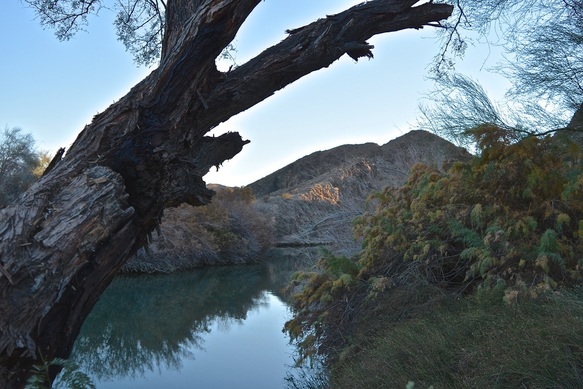
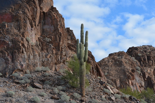
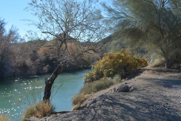
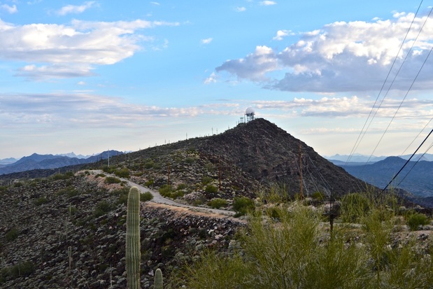
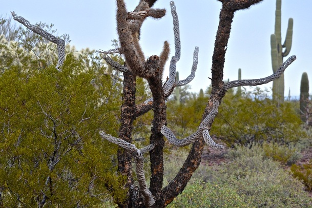
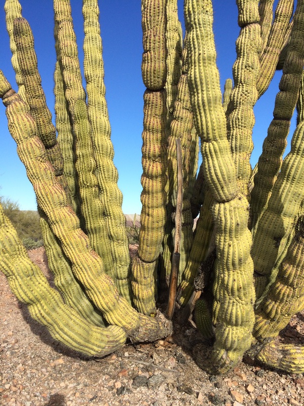
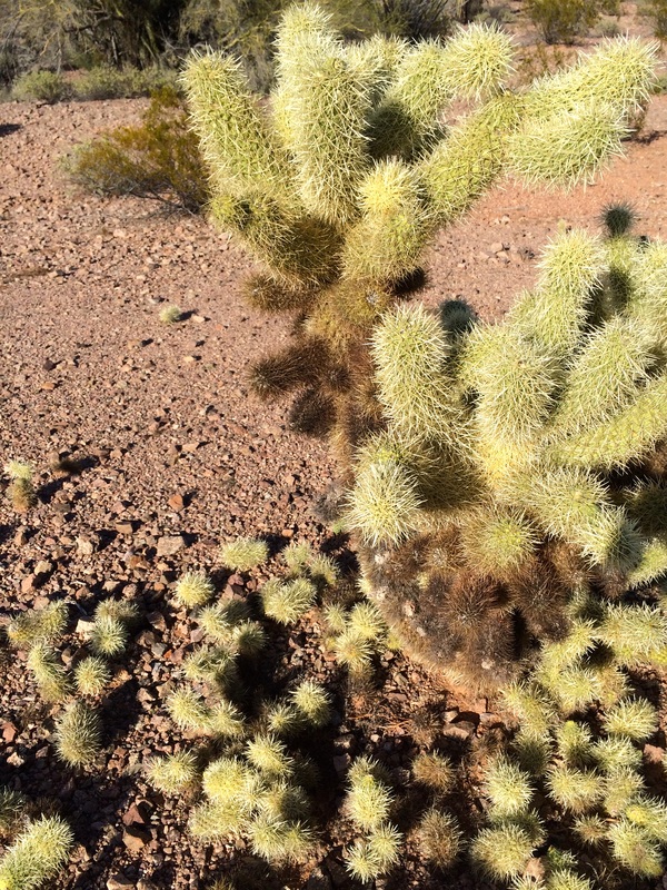
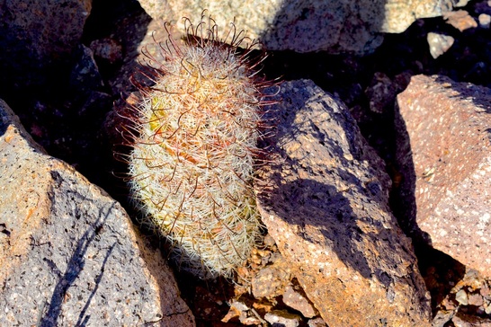
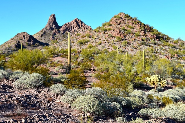
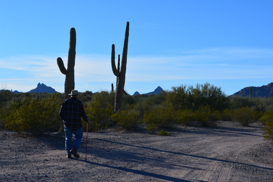
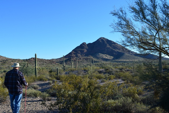
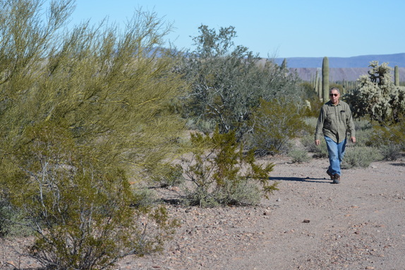
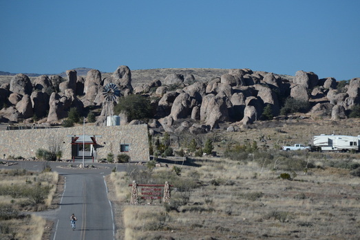
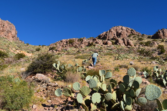
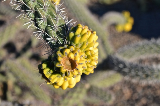
Wednesday, we took a two mile walk around the wash on Indian Pass Road.
Picture
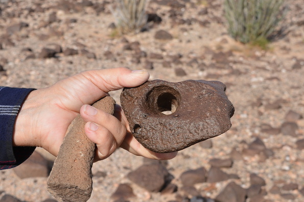
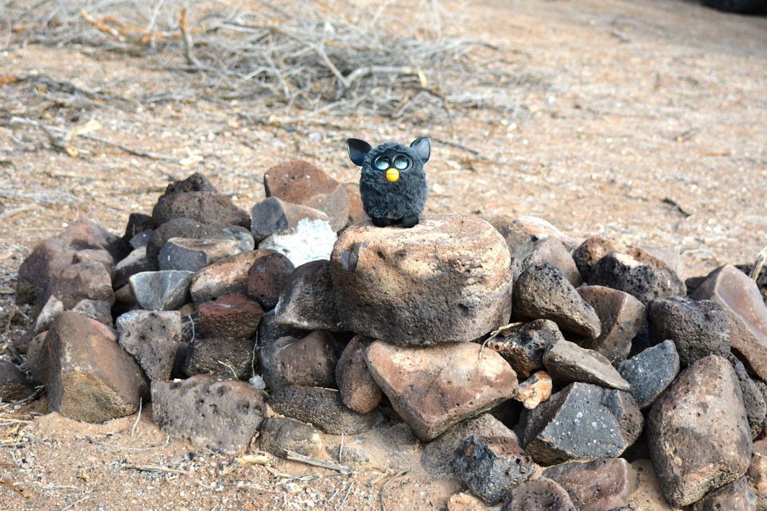
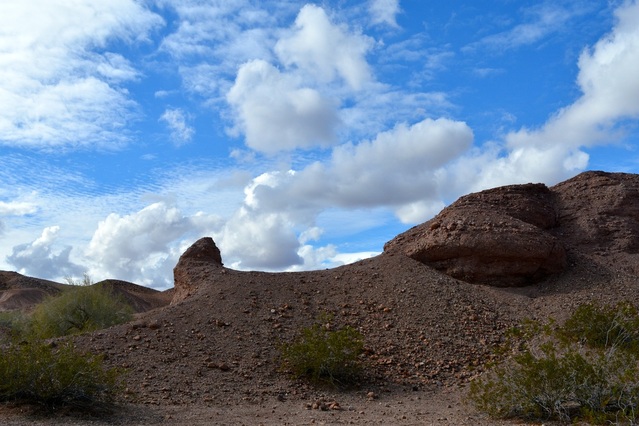
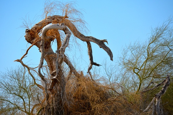
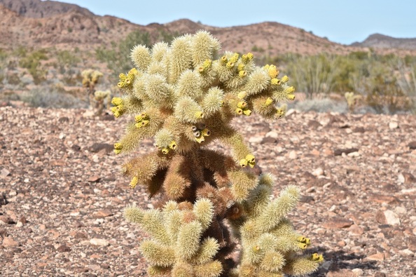
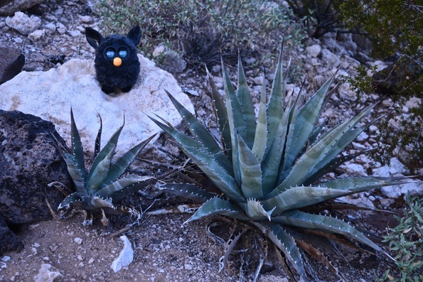
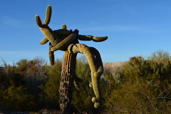
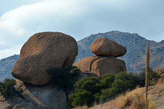
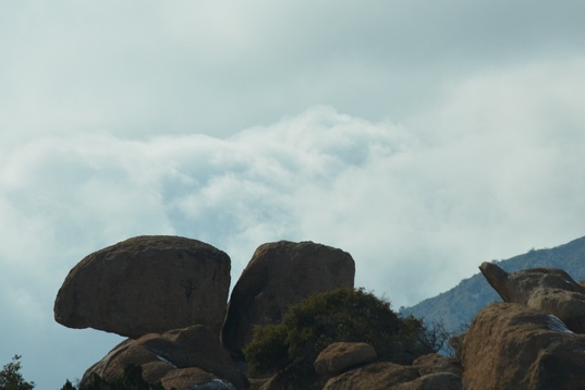
We found some interesting rocks.
Picture
Picture
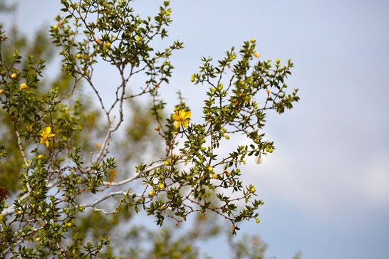
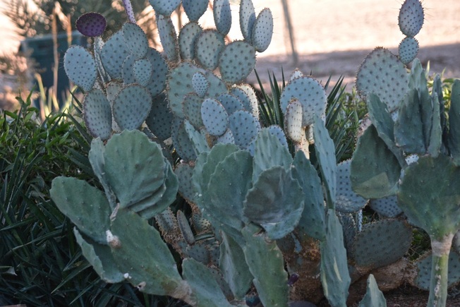
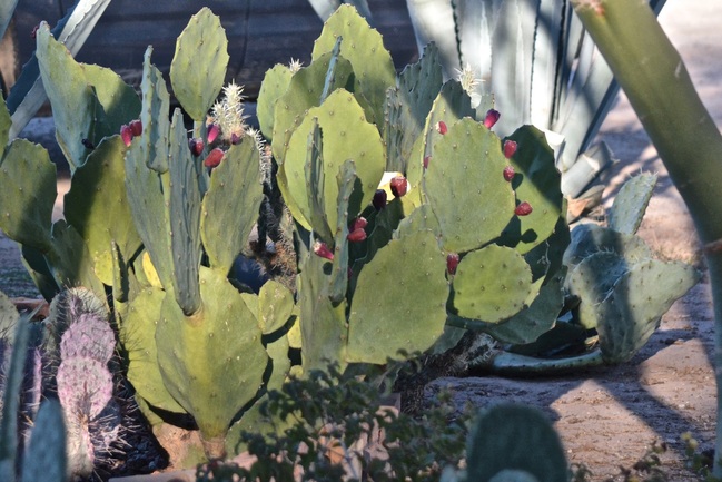
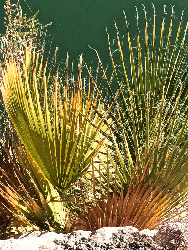
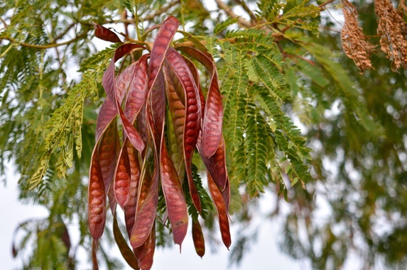
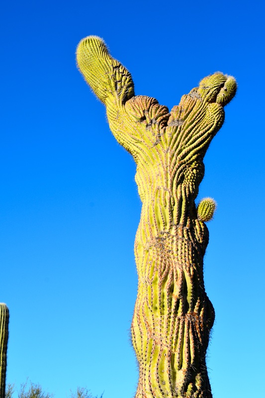
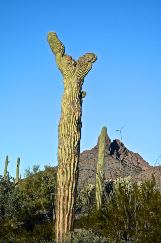
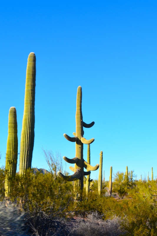
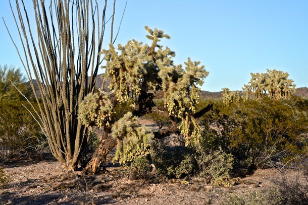
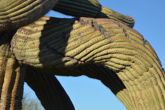
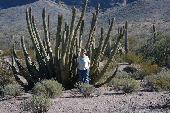
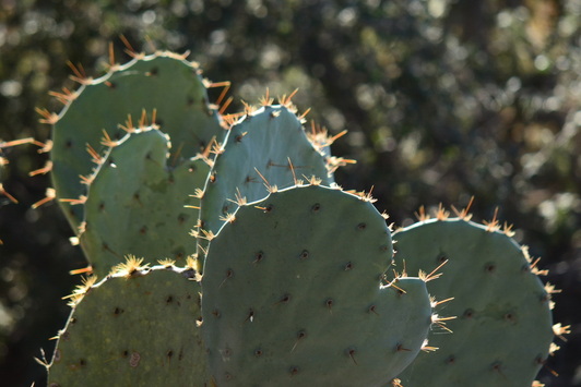
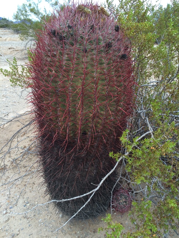
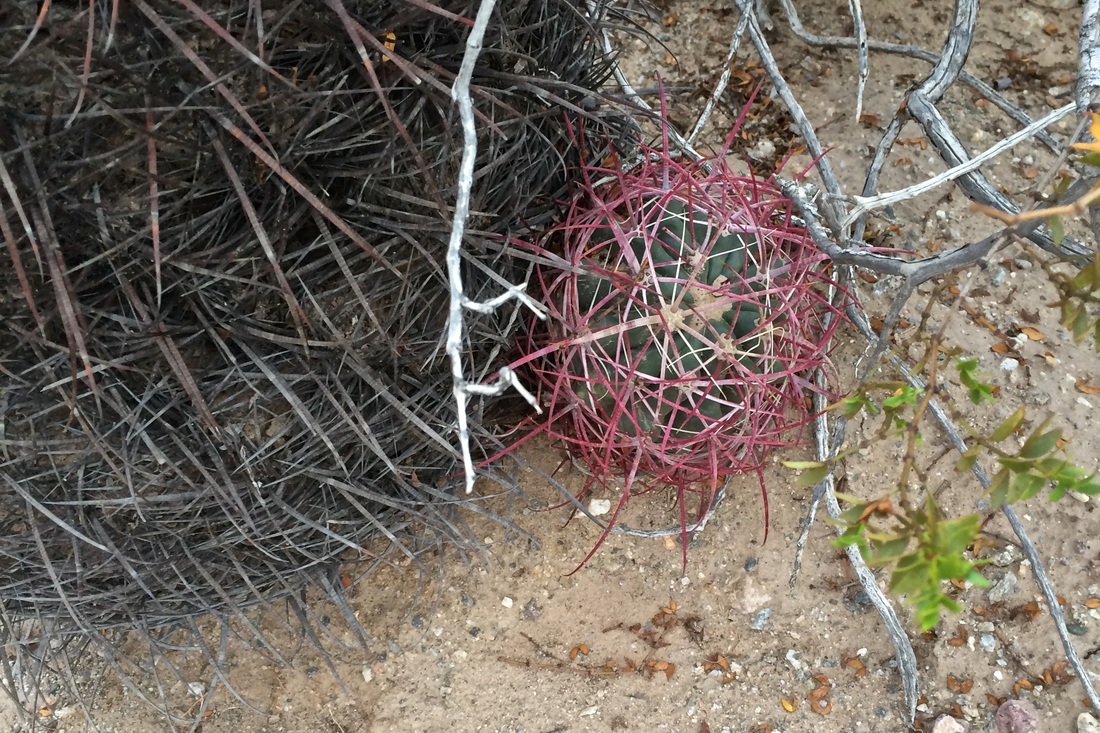
And interesting plants.
Picture
Picture
Picture
Picture
Picture
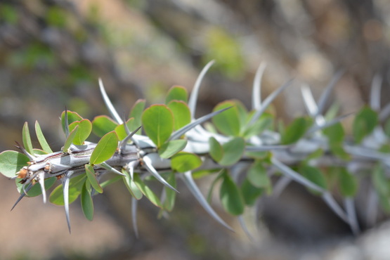
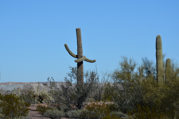
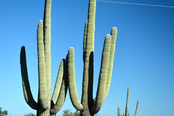
The flowers on the bushes and green leaves of the Ocotillo cactus spouted after two days of rain.
Picture
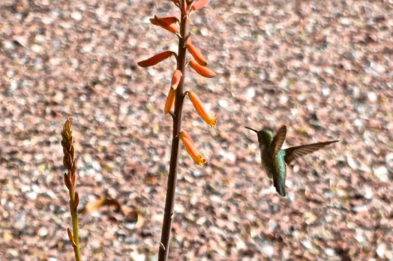
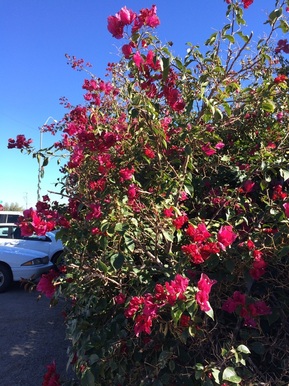
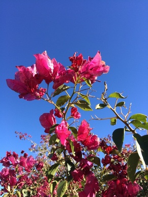
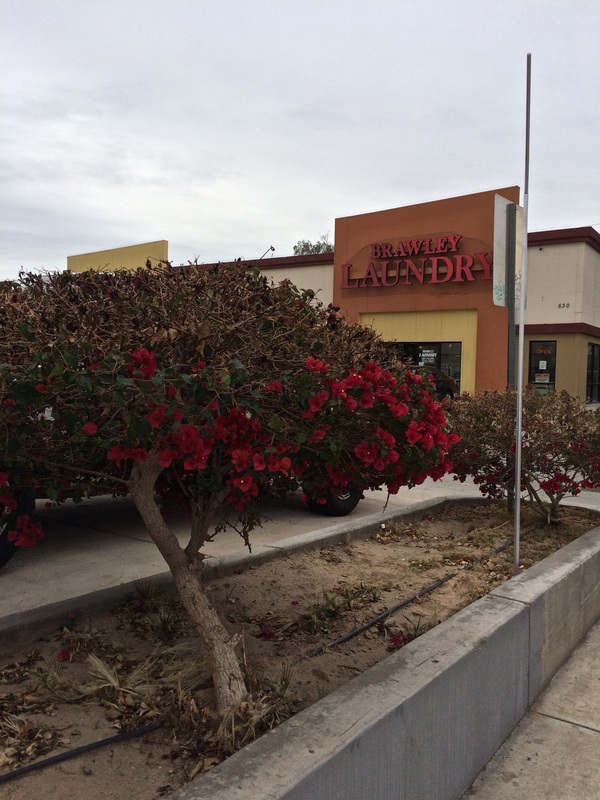
Thursday, we went to Brawley to do laundry. No, I am not so far gone that I have to take a picture of the Laundromat.
Picture
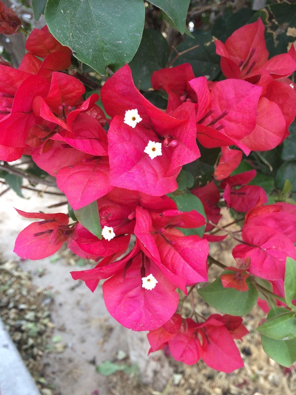
I just loved this flowering shrub in their parking lot!
Picture
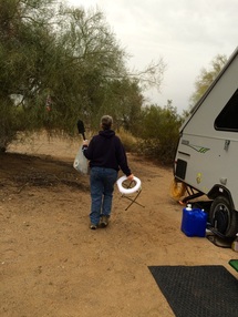
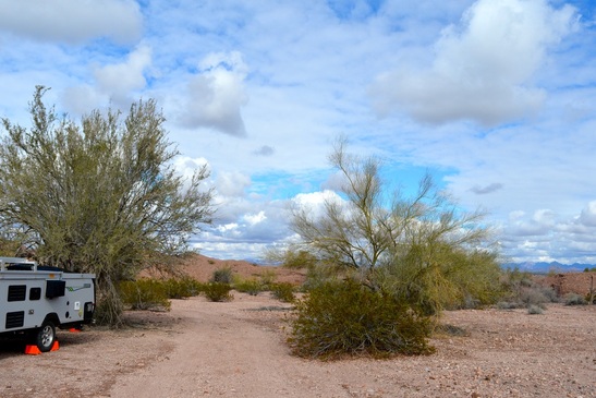
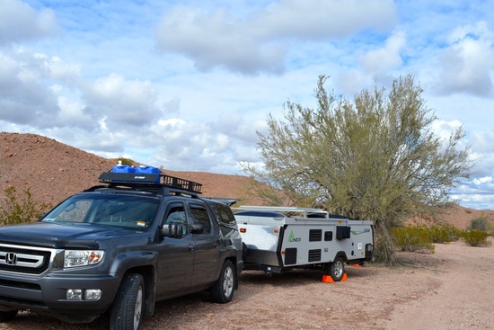
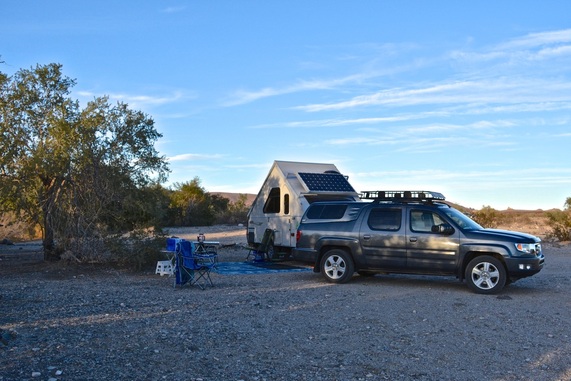
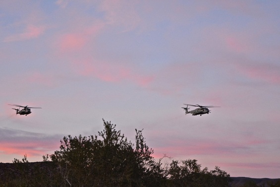
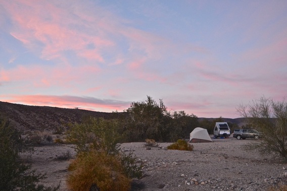
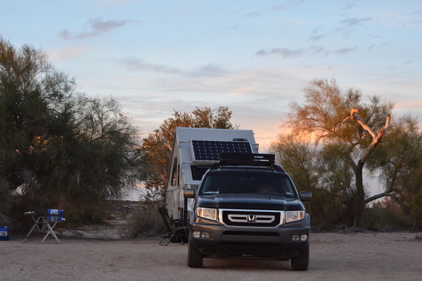
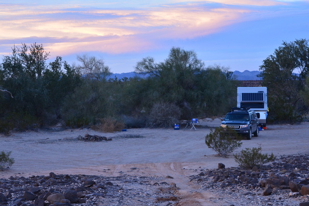
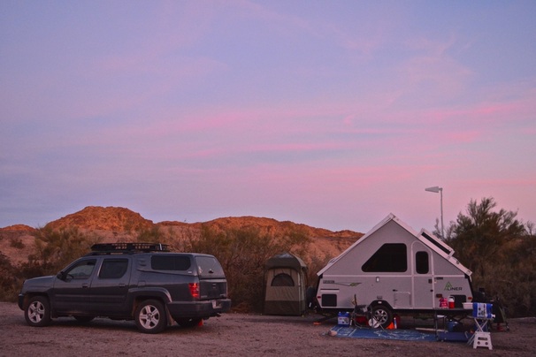
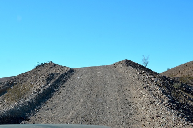
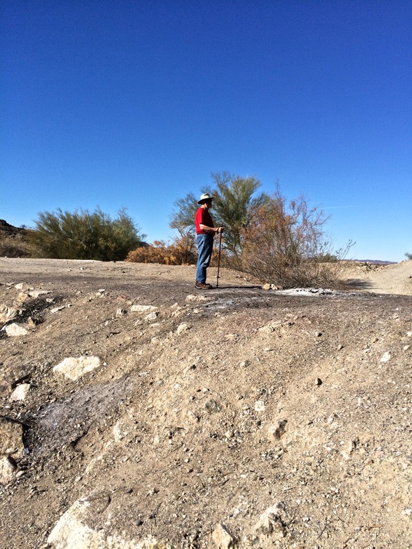
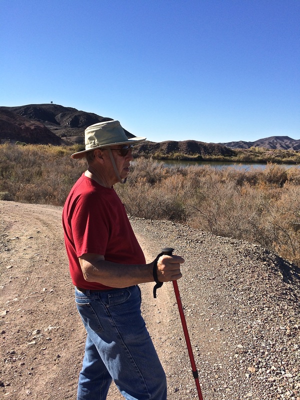
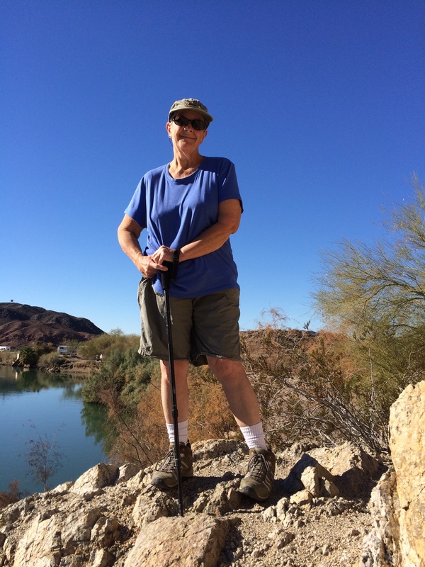
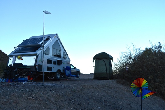
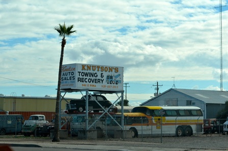
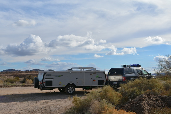
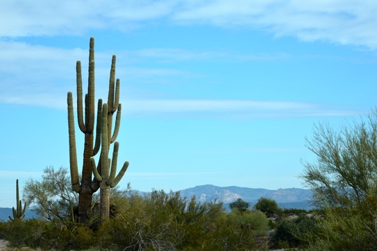
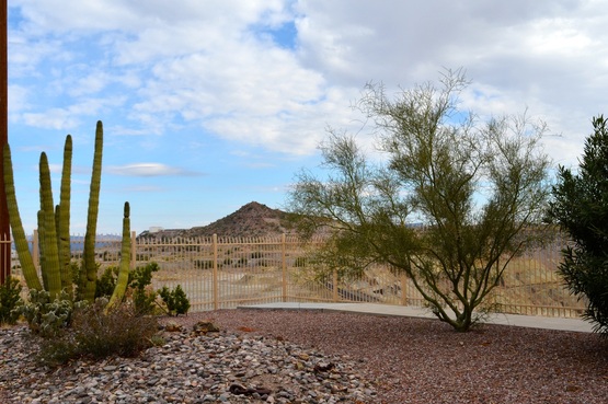
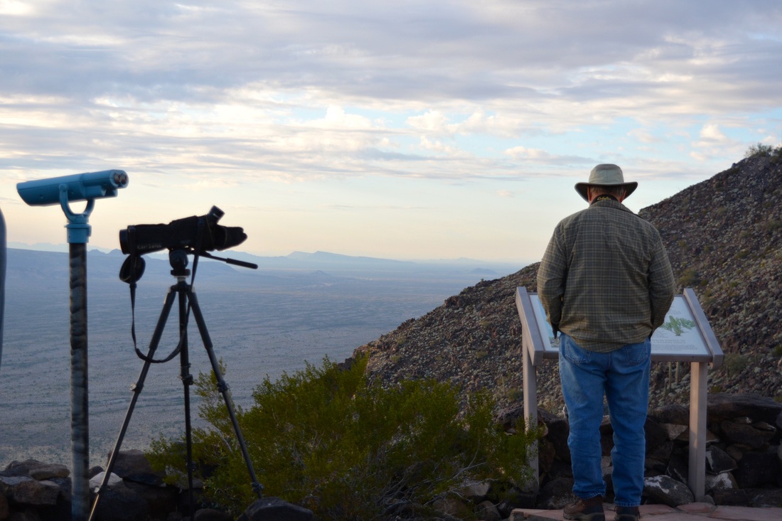
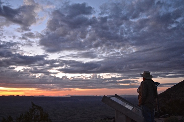
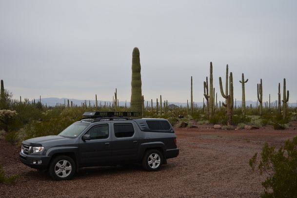
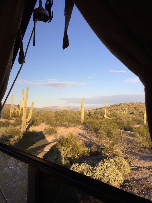
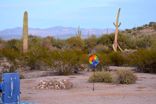
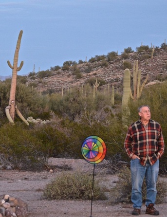
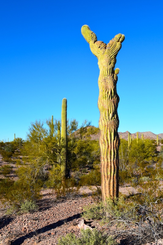
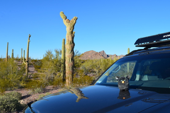
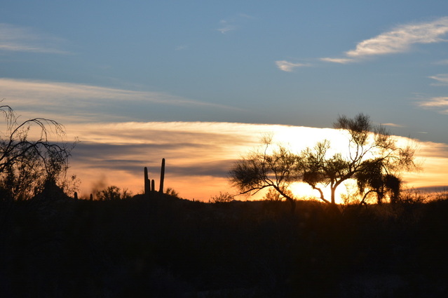
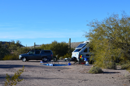
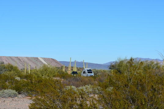
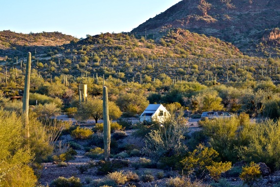
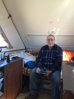
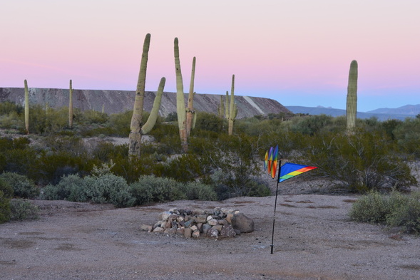
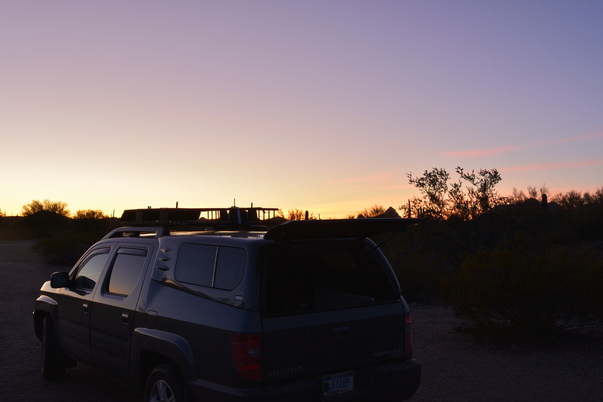
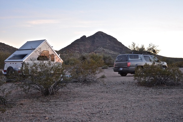
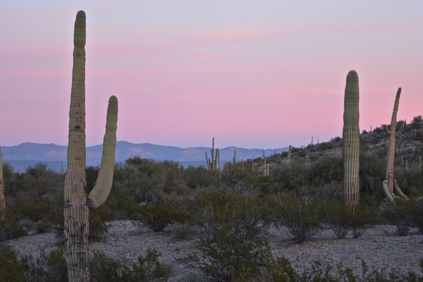
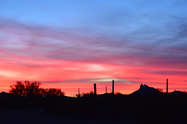
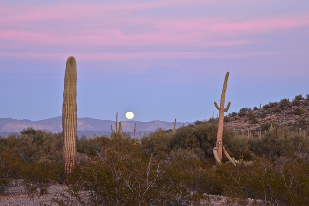
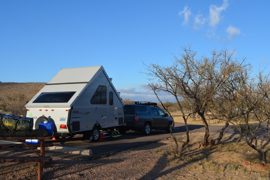
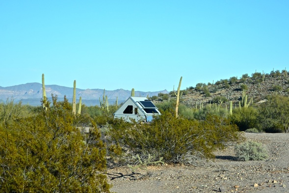
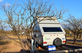
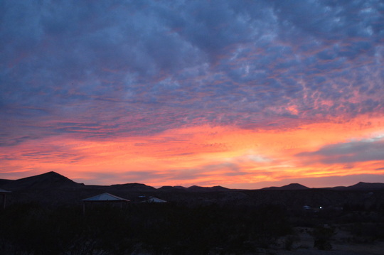
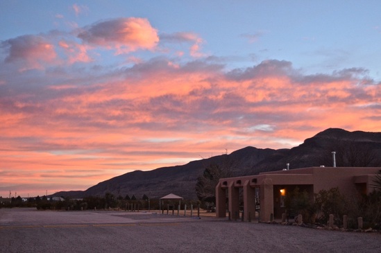
Friday morning we are moving camp, but I will end this weeks adventures with a visual reminder of the joys of camping.

Boon-docking at Ferguson Lake....

1/30/2015

 
(  Writing this from the California side of the Colorado River on Ferguson Lake Road, on February 1. )
Friday, January 30, we moved to a wonderful hide-a-way site, one mile from Ferguson Lake.  This is in the very southeast corner of California.  The CA and AZ state line is the Colorado River and Ferguson Lake is on both side of the river.  The closest city is Yuma, Arizona. 
As you enter the Imperial Dam Recreation area, you take Senator Wash Road to Ferguson Lake Road and drive 9.5 miles to the lake.  Our boon-docking site is one mile before the lake, tucked in a wash with hills all around us and Palo Verde and Mesquite trees to break the wind. 
Picture
Furby watches as we pack up to
Picture
leave Indian Pass Road.
Picture
As we head out to Ogilby Road and then US-8, we stop to take one more picture of the desert trees in bloom.
Picture
A mural on US-8
Picture
and art work on the interstate overpass.
Picture
"No Facilities", that means boon-docking available for us.
Picture
From the sign, it is five more miles to our site.
Picture
Picture
The colors and shapes change with every turn in the road and every hilltop we crest.
Picture
This is the view from the hilltop right before our site.
Picture
Picture
Picture
The view from our Aliner door.
Picture
As beautiful as the sky was all day, toward evening dark clouds came in with a little rain; so we have no sunset pictures to share.

A Week on Indian Pass Road in California ( Part 1)....

1/29/2015

 
(  Writing this from Indian Pass Road near Glamis, CA. on January 29. )
We have spent the last week here off Ogilby Road near Glamis, CA.   We are only about twenty-five miles from Yuma, AZ,  but we can add another state to our  been-to-list.
When we first got here on Thursday the 22nd , the sites we liked the best from our scouting trip the week before, were all taken.  We kept driving down Indian Pass until we found one we liked, which ended up being five miles in from Ogilby.  It was a really nice site but it had no phone or internet service.  We stayed there until Saturday and then moved back up to a vacated spot even nicer and only one mile off Ogilby and with a good wireless signal.
Picture
Our first site on Thursday.
Picture
Every evening military choppers go right over our site.
Picture
We have the beautiful sunsets again.
Picture
Picture
Friday we stayed home and read most of the day. Saturday we went to the nearest little town to fill our propane tank. The town is Glamis and has some services for the many ORV enthusiasts at the famous Imperial Dunes. The four black dots on the right are quads stopped a long way out.
Picture
These dune-buggies had some powerful engines. David said they could have $20,000. into each machine.
Picture
Picture
There are designated areas for them to ride. A permit which is free is required for anyone to enter the dunes. The use area is a very small portion of what is protected dunes.
Picture
Saturday on the way back from the dunes, we saw that our choice spot was now empty. We went home and folded up the camper and moved up to the new site. As we were packing up, the sun was getting low in the sky and lit up the trees, so I had to get the camera out and a get some shots.
Picture
After we got down into the new site, I took this picture of the trail we just drove down to reach our very private campsite.
Picture
Both sites are next to a wash, which means we have trees. The first one was only 100 feet off the road and all five vehicles that went by on Friday could see us! This new site was completely hidden from the road. Yay!
Picture
To top it off, this night had a gorgeous sunset
Picture
Picture
Picture
Picture
We will continue the rest of the week in the next post. 

Looking at Ogilby Road and KOFA....

1/20/2015

 
(  Writing this from Mittry Lake, Yuma, AZ on January 20. )
When you are out here camping on the BLM lands, the rule is you can stay 14 consecutive days on one site and then you must move a distance of 25 miles away.  Thursday will be the end of our stay at Mittry Lake.  With us being new to all the southwest, we can look at our Benchmark maps for each state and get a good idea of where to go but we can't be sure if it will suit our camper.   So we are using Mittry Lake as a base.  We have taken drives in different directions looking at sites for the future.  

  On Saturday, we looked around Senator Wash and Ferguson Lake.  
  Sunday, we drove 25 miles into California to check out several roads off Ogilby Road with BLM camping.  
  Monday we did laundry, boring.
  Today, Tuesday, we took AZ-95 from Yuma, north toward Quartzsite.  There are several roads off of 95 that lead into KOFA Wildlife Refuge. This is managed by BLM and you can camp along these roads staying within 100 feet of the road.
We have these three directions we can choose from, the fourth being Mexico which is not an option for us.  (  We are happy to park at the border and walk across to Mexico but do not want the hassle of inspections and paying for Mexico car insurance.)
We have some pictures of Indian Pass Road off Ogilby and Palm Canyon Road off AZ-95.  It will be very hard to choose which to go to first, we loved them all.  
Really stressful life we lead!!!

Indian Pass Road....

Picture
Entering Indian Pass Road on Sunday, the afternoon sun lights up the clouds to the west.
Picture
Interesting landscape.
Picture
This is the site we liked the best and the view to the east.
Picture
The trail getting into the site was like being on another world, how cool is that?
Picture
Back at Mittry Lake , we stop to photograph the trees as the setting sun lights them up.
Picture
A beautiful sunset over the canal from a different angle.

Palm Canyon Road....

Picture
Teddybear Cholla all over this area, many bearing fruit and Saguaro Cactus, both of which we have been missing since Darby Wells Road.
Picture
How about this as a backyard view?
Picture
See how tiny the KOFA park sign looks!
Picture
This looks like a great spot.
Picture
This was the cloud formation in the western sky.
Picture
And by the time we drove out to the end of the road, the setting sun was doing wonderful things to the clouds.
Picture
Tomorrow, Wednesday, we are going to Yuma for an oil change and front end alignment and grocery shopping, so we will decide by Thursday morning where to go; probably as we pull out of our site at Mittry Lake.
Love to all and good night!

Friday at Camp--Saturday Drive to Ferguson Lake...

1/17/2015

 
(  Writing this from Yuma, AZ on January 17, at Mittry Lake. )
Friday the 16th, we mostly stayed home and cooked, though we did run to the gas station and looked around the lake some.
Picture
Date palms near the station.
Picture
We see a lot of signs advertising the best date shakes. Haven't tried one yet!
Picture
Sure makes you hungry!
Picture
At the boat landing the fishermen were done for the day and the birds had the place to themselves.
Picture
More and more were coming in.
Picture
Friday evening the sky lit up a pretty pink and baby blue at our camp. The camper beyond the tree is our closest neighbor.
Picture
From this angle the hill across the canal looks so much smaller than it really is.
Picture
Today, Saturday the 17th, we drove to some nearby BLM camping areas, looking for our next site. First stop was the areas on Senator Wash Road on the California side of Yuma. The areas that we liked were not suitable for our camper, either very unlevel or totally out in a wide open area with lots of big rigs.
Picture
We drove further down the road looking for the BLM at Ferguson Lake that we saw on the Benchmark map.
Picture
He didn't mind sharing the road with us.
Picture
It is so beautiful here. We will move here next week when our 10 day limit is up at Mittry Lake. And if David says he can bring our camper in here I'm sure he can.
Picture
And this is the sight we see after coming over the hill. Wow!!!!
Picture
I'm showing these pictures now because the signal probably won't let us blog from here if we move to this spot, and also because the place is so beautiful, we couldn't wait to show you. No editing, these are the colors we saw.
Picture
For six miles on the road into Ferguson Lake there is only room for one vehicle and not a lot of spots to scoot over to let someone pass. It will be so worth it though to be able to camp here for a week or two.
Picture
Tomorrow we are going to look at the area on Ogilby Road in California for more BLM land. It's only about 25 miles southwest of where we are now. Ferguson Lake is only 25 miles northwest of here. So both are good choices for these winter camping months.
Picture
Picture
One of the farms on the road to Mittry Lake.
                     With this lovely scene we will wish you goodnight.   Miss you all!

Taking a Walk About Our Camping Area...

1/15/2015

 
(  Writing this from Mittry Lake near Yuma, Arizona on January 15. )
Picture
Today is Thursday, and the weather is so nice we stayed home to do some walking.
 The canal, along side where we are camped, is very calm today.  We only took the iPhone on the walk, so we don't have close-up pictures of the many ducks swimming about.  They are really cute black ducks and the water is so clear you can see their feet paddling away.
There was one spot along the canal where we saw palms growing sideways out of the bank.
Picture
Picture
Picture
Picture
Picture
Picture
Picture
Just a bunch of pictures of us exploring the hills around the canal.
Picture
Coming back up the trail to our camp.
Picture
Furby says he likes our new camp near the water. He enjoys watching for hummingbirds.
Picture
Picture
Picture
Furby liked the rock climbing by the canal, also.  Lots of toe holds for him.
Picture
The sun is going down on our little Aliner and our cute little shower hut.
Picture
One last look at the canal as the setting sun shines a little patch on our hill.
                                      Good night to all,  Love,  Barb and Dave
                                                            Miss you mom,  sleep tight!  😙

Move to Mittry Lake Wildlife Area....

1/14/2015

 
(  Writing this from Yuma, AZ on January 14. )
Today is Wednesday the 14th, our third day at Mittry Lake.   We left Darby Wells Road early Monday morning and traveled west about 200 miles to our new boon-docking site at 
Mittry Lake just outside of Yuma in the very southwest corner of Arizona.  We lost our beautiful sunsets and most of the cactus but we gained palm trees and warmer weather.  Oh, did I forget to mention the lush farm fields?  I can't stop taking pictures of the crops.
Picture
Heading north on AZ-85 to pick up west bound US-8 in Gila Bend.
Picture
We like pictures of old vehicles like these in Gila Bend.
Picture
Picture
How about a far out restaurant and motel?
Picture
Or here's a great little gift shop for sale!
Picture
 Someone must have known we would already be missing the Saguaro and planted this one for us.
In front of a gas station!

Picture
Cotton is one of the major crops in New Mexico, we wonder if Arizona grows a lot of it also? This is a double tandem trailer, huge.
Picture
The farther west we go on US-8, the more farms we see.
Picture
This is on the road we turned on to reach Mittry Lake.
Picture
Our first night was on a not to desirable spot with lots of mosquitoes.
Picture
It was very beautiful but the next day we looked for a place that wasn't near so much marsh area.
Picture
We contacted a man we met in New Mexico that we new was here at Mittry Lake, and he told us about a spot near the canal, a half mile up from the lake.
Picture
We love it here, it's so peaceful.
Picture
David put up our Wilson antenna to boost our internet signal.
Picture
Picture
Picture
This afternoon, on the way back from filling our water jugs, we stopped at the canal for pictures of this Egret.
Picture
As the sun sets on our little hill, we say good night. Love, Barb and Dave

Ajo Museums and Caravan to Childs Mountain....

1/11/2015

 
(  Writing this from Darby Well Road on January 11. )
Yesterday, Saturday the 10th, was a beautiful sunny day and we explored severals sites in Ajo.   Lucky for us since it rained all day today and this is are last day here.  On to a new adventure on Monday.
Picture
Picture
We head out Darby Well Road toward Highway 85 and Ajo. As you can see, it is a beautiful start to our day.
Picture
We stopped at the Mine Museum and talked to a very nice couple from Ajo who volunteer their knowledge of the Cornilia Mine and the history of Ajo. He worked in the copper mine for 32 years and she knew the town history and the surrounding area. The museum is located in front of the mine pit and you can view the entire mine from the fence above.
Picture
Seed pods on a Mesquite Tree. When they aren't talking to visitors, they tend the beautiful yard around the museum. They are also able to tell you about the trees and plants and how they survive in the desert.
Picture
I was able to photograph a hummingbird in the museum yard. It is like the one flying around our camper.
Picture
A short distance away, we stop at the Ajo Historical Museum. Is is not very big but they store a great deal of information concerningt the history of the town and mine since they are linked together in their growth. Really great volunteers here, too. We spent over an hour here talking to them.
Picture
As we drive through town, David stops to use an ATM and I get out and snap some more pictures. I zoomed in on the Tower on the Curley School.
Picture
A public school from 1919-1992, now a renovated artist's lofts and workshops.
Picture
Bell tower on the Ajo Federated Church, the second oldest church in town.


By now it's time for lunch so we go back to camp, fix some sandwiches and stir the chicken stew in the Croc-Pot.  We head back to town at 3:30 to meet in the parking lot of the visitor center at Cabeza Prieta Wildlife Refuge on the northern outskirts of Ajo.
Picture
Everyone caravanned in their own vehicles, following the ranger up Childs Mountain to see the view of the wildlife refuge and to watch the sunset.
Picture
View of the road up and the southern mountain view.
Picture
To the east was a rain cloud and a rainbow.
Picture
Looking across at the western side of the refuge...
Picture
... as we wait for the sun to set.
Picture
Picture
Picture
Picture
Furby bids, all a good night!

A Visit to Organ Pipe National Monument....

1/9/2015

 
( Writing this on January 9 from Ajo, Arizona. )
On Thursday, Jan. 8, it was drizzly all day.  We didn't feel like sitting in the camper so we drove south 35 miles to see Organ Pipe National Monument.   We got lots of information about hiking trails and driving tours in the park boundaries, and checked out the campgrounds for when we come back through this way later in the month.  Even through the drizzle I managed to get a few good pictures.
Picture
The sky might be gray but the Saguaro are still impressive.
Picture
This trailhead into the canyon is only a 2 mile hike, a must do on a nicer day.
Picture
The honeycomb branches are the inside structure of a dying Cholla cactus.
It was too rainy for sunset pictures  on Thursday.
Today, Friday, we woke up to beautiful sunshine.  We didn't do anything special but we still have some interesting pictures to share.
Picture
Every morning this sleek fellow, a Phainopepla, sits on the same Ocotillo branch right in front of our camper door.
Picture
We know it's a fellow because the bird book says the females are gray.
Picture
And I finally got a picture of a Prairie Falcon right behind our camper. We see these a lot on the top of telephone poles while we are driving. We have a hummingbird also, but no picture of that yet.
Picture
On a run into town to the IGA for some produce, I couldn't help taking this with my iPhone. The whole store is this neat. Every can, every cereal box, lined up perfectly.
Picture
We also stopped at the Ajo Visitors Center, a refurbished train stop.
Picture
And went inside the library, just because it's there!
Picture
The cactus reflected in the Aliner window...
Picture
...and the view looking out of that window.
Picture
The eastern sky is starting to get that southwestern pink/blue as we finish cooking dinner. It seems to me our friend the one-eyed Saguaro is getting closer to our camp!
Picture
Watch your back, David !!!
Picture
The sunset tonight didn't last long, but the cloud was unusual.
Picture
Fury says "hi" to all the hooligans!

A Ride Through the Saguaro Forest....

1/7/2015

 
(  Writing this on January 7,  from Darby Well Road in Ajo, Arizona. )
In case you would like to know. Ajo is pronounced   Ah Hoe .

Yesterday, on the 6th, we went into town to do laundry and then came home for lunch.
We then took off in the truck, went up Darby Scenic Loop Road and then turned south on 
BLM-8113B Road, a one lane dirt track, winding through the mountains and the Saguaro Forest.  
We drove 12 mile in before it became to rough.  We came back the same way, which is great for me because I can get pictures on both sides of the road.  We also stopped often for close up looks at interesting cactus along the way.  We were gone for two hours and barely got back before dark. Thank goodness because the sunset was the best yet. 
Picture
Organ Pipe Cactus
Picture
Teddybear Cholla
Picture
'Baby' Fishhook Cactus
Picture
A Saguaro Cactus...
Picture
...with the unusual Cristate growth pattern.
Picture
Furby liked the Cristate Saguaro, too.
Picture
We have seen hundreds of Saguaro in the last couple of days and this is the first time seeing a Cristate.
Picture
This Saguaro was one of my favorites. Someday, we hope to be here in May when the cactus blossom.
Picture
An Ocotillo and a Jumping Cholla with hanging fruit.
Picture
Ajo Peak

Different views of the Saguaro Forest within fifteen miles of the Darby Well site we are camped on....

It seems funny, coming from Michigan, to say a cactus forest but after you are here a couple days it feels so natural.   You start to understand how amazing it is for them
to live for up to 150 years in this harsh environment and you can then see the forest. 
Picture
Picture
Picture
Picture
Picture
Everywhere we are driving is Bureau of Land Management, BLM, property and there are many opportunities  for dispersed camping all around here.

And of coarse there are the sunsets....

Picture
Picture
Picture
No filters on the lens and no editing.
I know this is a long posting, but today was house-cleaning, cooking and showers day.
 Believe me, when you are boon-docking ,these things take time, so no pictures today.
Tomorrow, they call for rain; so probably none tomorrow either. 
                                             Good night all,  Love,  Barb & Dave

Hanging around camp on Monday....

1/6/2015

 
(  Writing this from Ajo, Arizona on January 6, 2015. )
The third day camped on Darby Well Road, the temperature got up to a glorious 70˚ .
After breakfast, we put together the fixings for chili into the slow cooker and took a walk near our site.  We followed the road for awhile, explored some trails and then went  toward camp by way of the wash that goes past the  back of our site.  
Picture
It's so nice to have all this privacy.
Picture
This is a view of our camp from the closest spot someone else could camp.
Picture
Picture
Black Mountain on Darby Well Road.
Picture
The downward shaped branches of the Saguaro are caused by frost damage.
Picture
Picture
Coming back into camp for some delicious chili.
Picture
Checking our email after dinner
 and waiting for the sunset.

Picture
This is the first time we put up our whirligig.
Picture
Every night the eastern sky turns these beautiful layers of blue and pink.
Picture
And the sun setting in the west is different every night.

The Town of Ajo, Arizona....

1/5/2015

 
(  Writing this on January 5, from Darby Well Road in Ajo. Arizona. )

On January 4, before going on a walk at Darby Well Road, we drove the 10 miles into Ajo, to shop at the IGA and look around the town.  Very impressive for such a small town.  Have a look at some of the things we saw.
Picture
Ajo Immaculate Conception Church
Picture
Built in 1924
Picture
Public library located in the Old Town Plaza.
Picture
Ajo Copper News established in 1916.
Picture
Curly School, formerly the public school built in 1919, was completely renovated and opened in 2007 as artist's lofts and workshops.
Picture
In the center of Old Town Plaza the Santa house was still set up and I liked the palm trees in the background.
Picture
A wall of flowering shrubs...
Picture
...in front of a restaurant.
Picture
Loaded lemon and orange trees taller than the house.
Picture
Beautiful palms...
Picture
...a house we liked...
Picture
...and creative decorating with Agave.
Picture
And lastly, the New Cornelia Copper Mine that opened in 1917 and closed in 1983. Ajo was built around the mine and the loss of work for the town was devastating. However, Ajo is prospering as as artist community now.
Picture
Hey, Mom   
Look what we saw at the IGA !!
                   Love You

Walking a Trail and Watching the Sunset....

1/5/2015

 
(  Writing this from Darby Well Road in  Ajo, AZ  on January 5.  )
On January 4, the day after setting up at our new campsite, we drove into Ajo for groceries and to see the town.  The pictures of Ajo will be in a separate posting.  Right now we would like to share the walk we took, about a mile from our camp on Darby Well Road. 
Picture
Interesting formation called Steam Engine Hill.
Picture
Organ Pipe Cactus.
Picture
Looking at some of the other available dispersed camping sites on Bates Well Road and Darby Well Road for future reference, lots of good ones.
Picture
Strange Saguaro Cactus, doesn't know which way they went.
Picture
Back to our campsite to cook dinner. Black Mountain in the background.
Picture
While cooking outside on the Coleman stove at 5:30, I am facing east, so I have to turn around to the west to take pictures of the sun setting.
Picture
But on the eastern horizon the sky is turning beautiful pinks and blues.
Picture
The camera goes around my neck so I can stir the soup and not miss any of the fast changing colors in the sky.
Picture
In the time it takes me to shoot the picture of the fuchsia sunset, I turn back to the east and the full moon has risen above the far mountain range.
Picture
As the sky turns almost dark this is how the Nikon lens captures the sky. I did not do anything to edit any of these pictures.
How do you like our friend, the one-eyed Saguaro, about 100 yards to the east of our campsite.  I didn't even realize he was in the photos until I downloaded, since I was so excited about the colors of the sky.

New Camp on Darby Well Road in Ajo, Arizona....

1/4/2015

 
(  Writing this from Ajo, AZ  on January 4, 2015. )  

Even though we are finally up to date with the journal of our travels, we will continue to start each post with the location from which we are writing, since we never know if we will have an internet signal at future campsites , we'd like to keep up this routine.   Fortunately, here at Darby Well Road we have 4G service with our Verizon Hotspot.
Darby Well Road is off of AZ Hwy. 85 and basically runs north to south from I-10 in Phoenix to the Mexico border.  This is a popular boon-docking area with lots of BLM land to camp on for free.  You do have to observe the 14-day limit and move at least 28 miles to a new BLM location.
Here are some photos of our trip on January 2-3,  as we move from Pancho Villa State Park in New Mexico  to  Arizona.
Picture
Arizona has the greatest art work on their overpasses and retaining walls. About a half -hour past the New Mexico/ Arizona border, we lost the snow. Whew!
Picture
Picture
Our first stop is Benson, about 240 miles from Pancho Ville State Park. Along the way we pass some unusual rocks. The sky is still a little cloudy.
Picture
We camp at Karchner Caverns State Park in Benson, AZ for one night. It's cold here, just like all of the U.S. , but the sky is beautifully clear.
Picture
This is our view from our kitchen window.
Picture
On the 3rd, we move westward. At one gas station, we stop to eat our sandwiches and see these cool picnic shelters.
Picture
Picture
Across the roadway, I snapped this picture of two Saguaros. We were beginning to see more of these cactus and then we saw the sign to the Saguaro National Park.
Picture
I liked this gas station front as well as their picnic tables in Why, Arizona.
Picture
After traveling 150 miles from Benson, we finally find a perfect dispersed camping site on Darby Well Road off AZ Hwy. 85, 10 miles from the town of Ajo.
Tomorrow, more about our campsite on Darby.
Good night, all 😊

A Photo Essay of Last Month's Travels....

1/2/2015

 
First a few pictures of today's travels on January 2, 2015.
Picture
Leaving New Mexico...
Picture
...on NM Hwy. 9 going west...
Picture
...still snow at Arizona border...
Picture
... finally, clear in Benson, AZ, but cold!
(  Writing this from Kartchner Caverns State Park in  Benson,  Arizona.     Arrived here on January 2, 2015  at 3:00 in the afternoon and had 35˚  weather and we had to drive through snow for 240 miles from Columbus, New Mexico to Benson.  It was only a couple inches on the ground but it was very slippery.   It might be warmer in Michigan!!  
We are only staying for tonight and driving on to  Ajo, Arizona to look for a dispersed campsite for a week.  It's supposed to be Highs 70/Lows 45 . That's a lot better than  45/23 
which is all they are predicting for this area for next week. There is no snow at this campgrounds but it's very cold, 10pm now and 24˚ )

December 2014 Photo Essay...

I described the highlights of the various parks we camped in for 2014 in the last post so I would like to share a few of our favorite pictures from December in New Mexico.
Picture
Picture
Picture
City of Rocks State Park
Picture
Rockhound State Park and the beautiful trails
Picture
Thinking of Michigan
Picture
Leasburg Dam State Park
Picture
Enjoying the Turning Back The Sun program with Ranger Alex at Leasburg Dam.
Picture
Picture
Picture
Sunsets at Leasburg Dam
Picture
Getting some snow at Pancho Villa State Park
Picture
Fruit on the Cholla surviving the freezing nights
Picture
Picture
Sunsets at Pancho Villa from our campsite
Picture
Having lunch on Dec. 26 at the Pink Store in Palermo, Mexico only three miles from Pancho Villa State Park
Picture
And having fun with Furby so the grandkids always know we are thinking of them
We thank everyone who follows our travels, for all the time you take to read this and we want you to know, it gives us more pleasure to write this journal knowing we are sharing it with our family and friends.    As we journey on, we hope everyone has the opportunity  to follow their dreams as we have.
Have a wonderful 2015 !

2014's Journey Highlights :  The States We've Seen....

1/1/2015

 
Our first year....

MAY
          May 15,  2014 was the start of our adventures in retirement,  traveling the
          United States and Canada.
            Michigan
        Onaway State Park near Roger City, MI...was our first stop and the first time we slept in
        our Aliner camper.  We crossed the Mackinac Bridge on May 19 and started across 
        Highway 2 on our way west to Montana, but we made the first of many plan changes.
        The Porcupine Mountain State Recreation at Lake Superior in the Upper Peninsula was
        a couple day side trip and really worth it.
           Wisconsin & Minnesota 
        Passed through Wisconsin on Highway 2 into Minnesota to camp near the headwaters 
        of the Mississippi River located at Lake Itasca Stae Park,  our campground was
        Hungry Man Lake National Forest Campground.   Stayed for five nights.
            North Dakota
        Teddy Roosevelt National Park - North Entrance,  Badlands of North Dakota. Watched
        a herd of Bison cross the road in front of our truck. Explored the strange rocks.
        Stayed for three nights.
       
JUNE
            Montana
        Next camp,  Flathead Lake State Park  south of  Kalispell and Glacier National Park.
         June 6 is when we dropped the Aliner off in Kalispell for three months of storage
         and started our summer of tent camping, with our first night at Glacier National Park.
        Whitefish Lake State Park was next, taking us north along the west side of Glacier to
         reach the Canadian border at Roosville on June 10.
             British Columbia & Alberta, Canada
         Passed east through BC and entered Alberta to head north toward Alaska.
         Stayed at Moonshine Lake Provincial Park in Alberta on our way toward Banff.
         Entered Banff National Park to cross the Icefields Parkway camping about
         half-way through the Parkway at 6900 ft. elevation and then continuing through
         Jasper National Park  westward. We hiked the  Bow Summit Trail in the snow and 
         visited Lake Louise and had lunch in the town of Jasper.
             Yukon Territory,  Canada
         By June 19 we were at Whitehorse Hi Country RV Park on our way to Dawson City
         in Yukon.  In Dawson City we take a ferry across the Yukon River and take the Top Of
         The World Highway  which leads to one of the only two overland Can-AK crossings.
             Alaska
         Eagle BLM Campground in Eagle, Alaska is our first campsite in our two month
         travels in the frontier state of Alaska.  To get there from the Top of the World Hwy.
         you take the Taylor Hwy. to Eagle which still remains the #1 scenic drive so far.

            June 21 the day of the summer solstice is the day we crossed the Can-AK border.

         During the rest of June, tenting around Alaska our route after Eagle continues through
         Chicken to Fairbanks and North Pole;  up the Dalton Hwy. past the Arctic Circle 
         to Galbreth and three nights camping at Coldfoot Station 65 miles north of the Circle.
  JULY
             Alaska - continued
         Back to Fairbanks, down the Richardson Hwy. to Paxton
         Explore the Denali Hwy.  Drive thru Wrangle-St.Ellis Mtn. to Kennecott Mine 
         down the Edgerton Hwy.  Then back south on the Richardson to Valdez.
         Now north on the Richardson taking us to the Glenn Hwy. to  Palmer-Wasilla,
         ( 45 miles north of  Anchorage).   After five nights there we head north on the
         Parks Hwy.  through the Denali National Park area.   Next Nenana RV Park. in Nenana
        our #1 favorite park.  This took us within fifty miles south of Fairbanks and we had 
        time to explore even more of the the many things to do there.
        Now back down the Parks Hwy. to Talneekna for the Hurricane Turn train ride tour.
        Continuing south on Parks Hwy. takes us back to Palmer and to the end of July.
August
            Alaska - continued
         Are you remembering that Alaska has only a few main roads that connect the towns.
         Not counting the places that are fly-in only, we didn't get to see those; we hit all
         the main roads, usually more than once.
Picture
Alaska main roads.
        From Anchorage we head down to the Kenai Peninsula. Family was coming into 
        Anchorage Airport on August 3  for a two week stay and we packed lots of sight-seeing
        in. Alaska Canoe and Campground in Sterling was a great central location for the five
        of us.  We saw Turnagain Arm,  Sea Life Rescue and Research in Seward,  Homer Spit;
        museums in Ninilchik, Hope, and Soldatna;  hiked the Exit Glacier and Fuller Lakes
        Trail;  went rafting on the Kenai River;  saw Prince William Sound; and on their 
        last day, toured the Alaskan Wildlife Rescue Center.
        After they fly home, we head north and east to leave Alaska through Tok to the 
        Canadian border.  We stay in Palmer again at the Matanuska River Campground,
        take the Glenn Hwy.  to Nebesna Road, the north entrance to Wrangle-St.Ellis
        National Park stay one night and follow the Tok Cut-Off to the border.

           August 21 is the day we crossed the Alaskan-Canadian border.

            Canada, Washington, Idaho and Montana
        We took a different route back to the states through Canada following the scenic
        Cassair Highway and then the Yellowhead Highway, going through the Yukon 
        Territory, British Columbia and Alberta Providences staying at very nice Provincial 
        Campgrounds along the way and seeing lots of bears and wildlife.
         August 27 we crossed from Canada into the state of Washington camping at 
         Darogo State Park.  On the 29th we drove across Washington  Idaho and into
         Montana on Hwy. 2.  We found a campsite at Swan Lake BLM Campground
         south of Kalispell, Montana where our Aliner was in storage.
September
         Two weeks at Swan Lake, MT  organizing our camper and a super  Hilacopter tour
         of Glacier National Park.   Then south to Idaho camping in the Bitterroot National 
         Forest at Lake Como NF Campground and had our first campfire since leaving home.
         Traveling south on US93 next we camp at Joe T. Fellini BLM Campground in Mackay.
         Fabulous back-counrty drives there.  Next was Arco, Idaho where we stayed at
         Craters of the Moon National Monument.  Did great tours of the lava fields and caves.
            Nevada
         Great Basin National Park in Baker, Nevada was our next two week stay.    Leyman 
        Caves,  Wheeler Peak,  Bristlecone Pines, old mines and ancient ruins, and dark sky
        programs: a really special park.
  October
            Utah
        Almost a month in Utah in October,  the golden leaves and the red rocks, beautiful.
        Drove through Zion National Park ( camp was full ), camped  and hiked five days 
        in Bryce National Park.    Drove through Red Canyon National Monument and 
        Kodachrome Basin State Park,  then camped near Capital Reef National Park, 
        at Sleepy Hollow RV Park in Caineville,  exploring the area all around Reef.
        On the 10th we move to South Cottonwood Rd, near Blanding, Utah
        for our first real dispersed camping.  Around Blanding there are many ancient ruins
        to explore.  We went to Mexican Hat, Bluff Fort, Natural Bridges and Hoovenweep
        National Monuments and drove the Mogi Dugway.  On 15th move to another dispersed
        camp near Moab, Utah on Willow Creek Rd.  Here we do Canyonland National Park.
            New Mexico
        October 20th we go to Farmington, NM to Mom&Pops RV Park for five days and visit 
        the Bolack Museum and the Aztec National Monument.   25th, we move southeast to 
        Cuba, NM and camp at Clear Creek NF Campground at 8200ft. elevation.  
 November
            New Mexico - continued
        Finding the high elevations to cold, we move down near the Jemez Pueblo at the
        Vista Linda NF Campground on Scenic  Highway 4,  about 50 miles north of 
        Albuquerque. It was the perfect campsite and the people around this area are the best.
        While there we saw Jemez Springs, Jemez Falls, Soda Dam, Battleship Rock, and the
        Bandolier National Monument.
        On Nov 11 we moved south to Oliver Lee Memorial State Park outside of Alamogordo,
        New Mexico.  Here we visited Sunspot Solar Observatory,  White Sands National
        Monument and hiked Dog Canyon.  
        This is also where we found out about the New Mexico Annual Campground Pass. 
        For a non-resident, it's $225.00 for 12 months and covers the $10.00 per day camping
        fee for any of the 36 state parks.  If you choose to use the electric sites, it's a  $4.00 per
        day additional fee.  These are very nice parks with showers and flushing toilets and  
        they have very good ranger guided programs.
        On the 25th we move to Rockhound State Park in Deming, at the foot of the Florida
        Mountains.  Very good hikes here at Rockhound and at Spring Canyon Recreation Area
        a couple miles away.  Deming has a 5-star Museum of History and a walking tour of
        many original early 19th century buildings in town.  
December
              New Mexico - still continued
         The next state park we moved to is west to Leasburg Dam in Radium Springs, NM on 
         Dec. 8.  Here Ranger Alex leads a winter solstice program called Turning Back The Sun 
         with himself and guest speaker Bill, explaining the beliefs of their tribes in relation to 
         the sun and the stars.  It was  a very good day and we can't wait to come back next 
         year for more events at this park.  A few other tours we did here was the Chili Pepper
         Institute at NMSU and the NM Farm and Ranch Heritage Museum in Las Cruces.
        And that brings us to our last campground in 2014,  Pancho Villa State Park in 
        Columbus.  This is 25 miles south of Deming and 3 miles north of Palermos, Mexico.
         El Paso, Texas is only 60 miles to the east.  We have visited all these towns while here
         and also enjoyed the great food at Irma's Kitchen in Columbus.  Pancho Villa visitor 
         center also houses a very good museum on the history of the attack on this town in 
         1916 and the park and the town have many remains of the army buildings and 
         equipment from that time. Our departure from Pancho Villa will be tomorrow 
         morning on January 2 ,  heading to Arizona.
Picture
We Wish You A  Happy New Year in 2015 !!!
Picture
Furby Also Sends His Best Wishes From Palermos, Mexico!

    Archives

    June 2016
    May 2016
    April 2016
    November 2015
    October 2015
    September 2015
    August 2015
    July 2015
    June 2015
    February 2015
    January 2015
    December 2014
    November 2014
    October 2014
    September 2014
    August 2014
    July 2014
    June 2014
    March 2014
    February 2014

    Categories

    All

    RSS Feed

Powered by Create your own unique website with customizable templates.