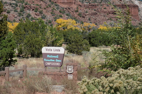
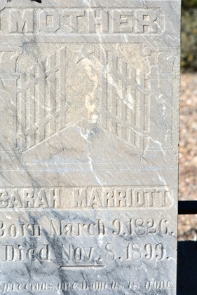
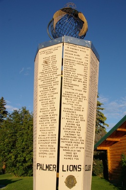
( Writing this from Cañon, New Mexico on October 30, at Vista Linda National Forest Campground.
Mom, this is especially for you. This is where we are at right now. )
Mom, this is especially for you. This is where we are at right now. )
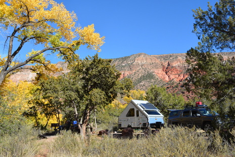
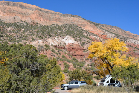
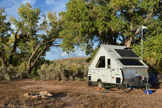
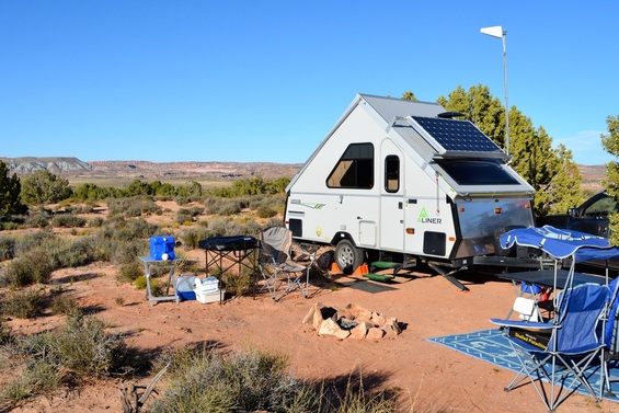
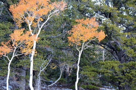
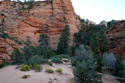
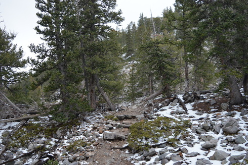
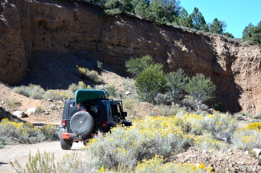
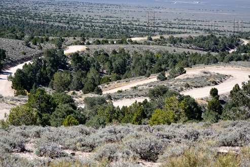
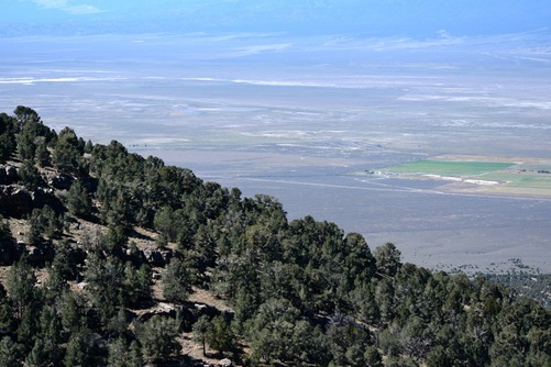
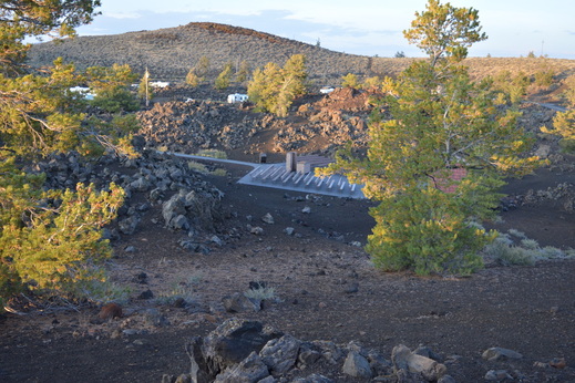
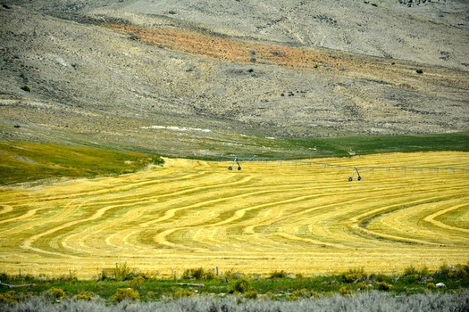
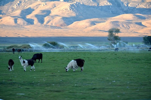
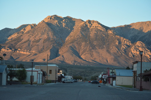
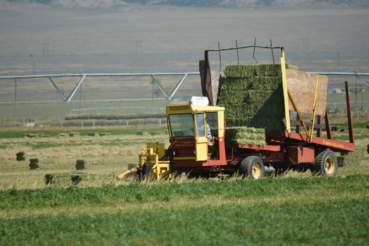
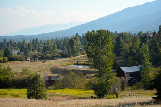
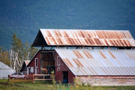
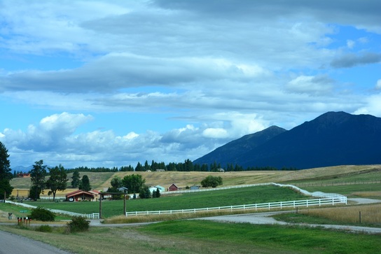
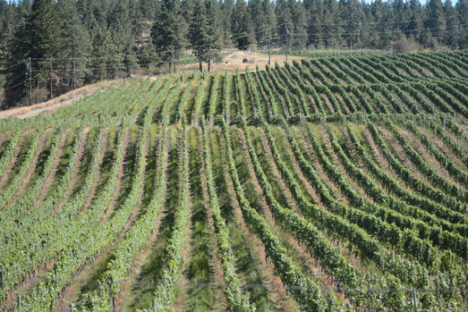
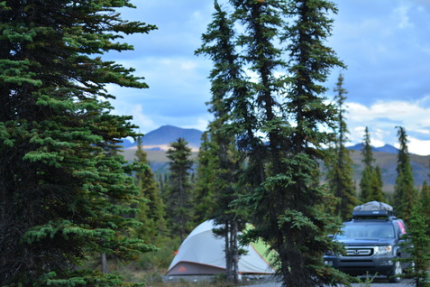
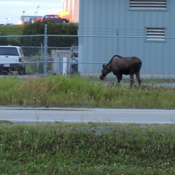
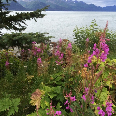
We love our new campsite so much, absolutely the best one so far. We arrived on the 27th of October but had to drive to an area with a signal to write this post. The campground is 10 miles down Hwy.4, east of Hwy.550; just north of San Ysidro, New Mexico in the Jemez Mountain District. We only moved about 45 miles south of Cuba, but the elevation here is only 5800 feet where as Clear Creek Campground was 8200 feet. What a difference in climate and vegetation. Vista Linda Campground has 13 paved sites with a camp host on duty. There are four outhouses and a fresh water pump. The scenery is breathtaking as the photo essay will show, and my favorite feature is the bubbling brook along our site.
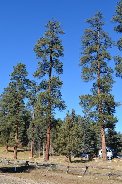
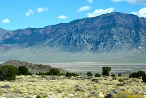
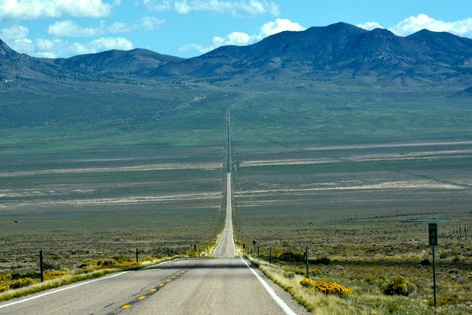
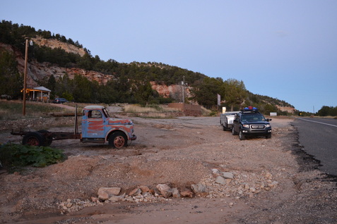
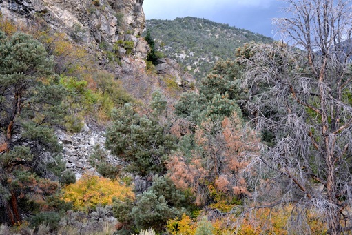
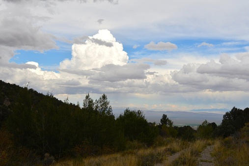
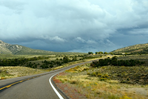
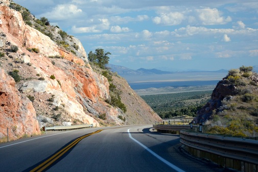
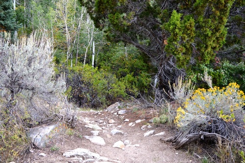
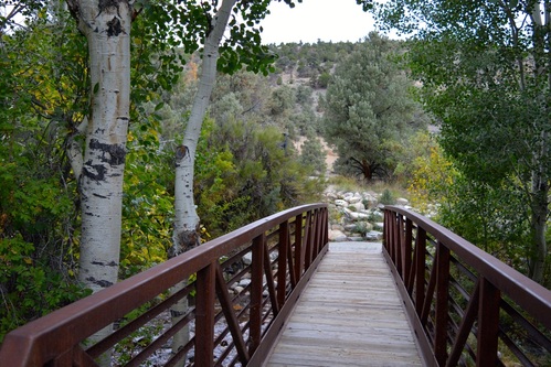
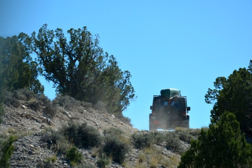
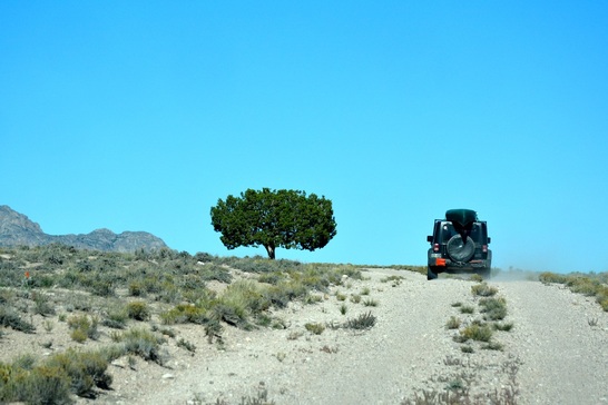
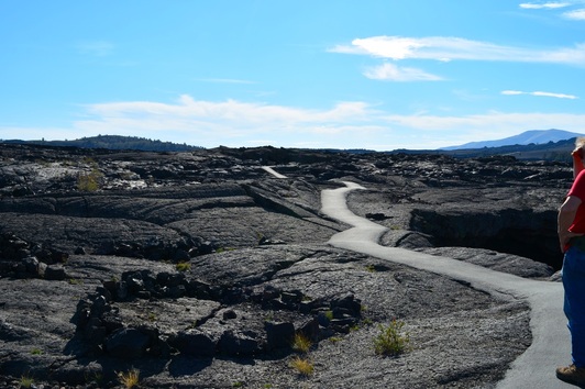
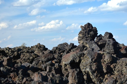
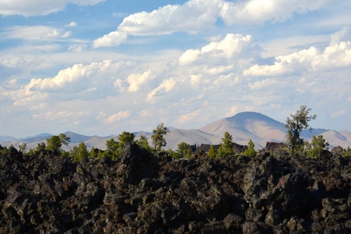
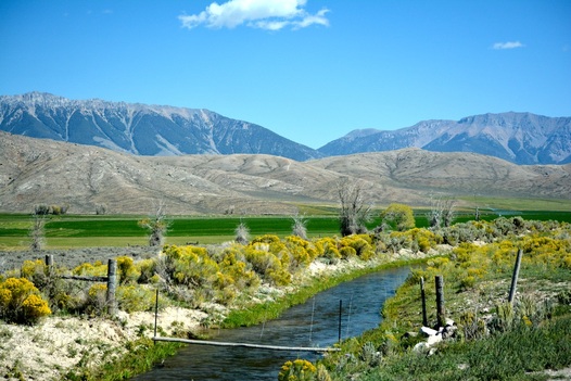
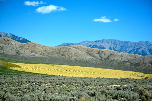
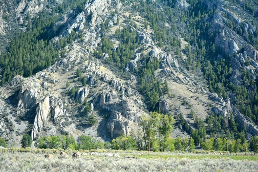
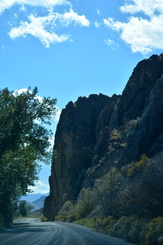
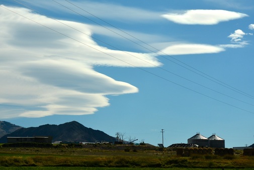
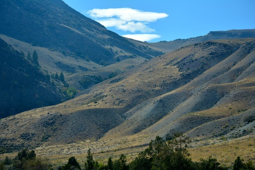
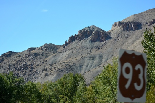
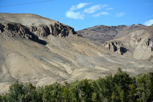
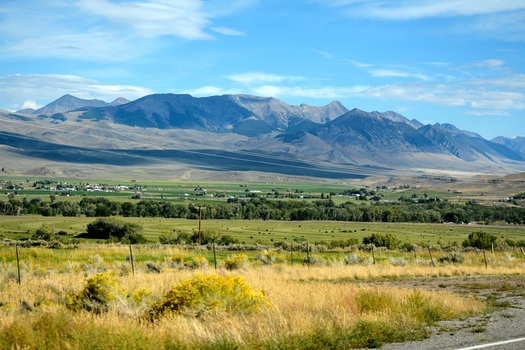
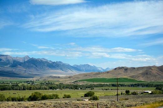
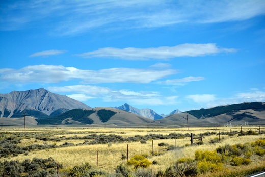
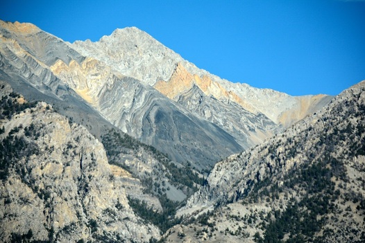
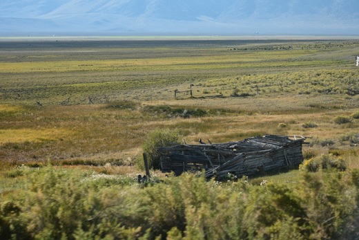
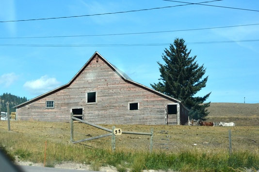
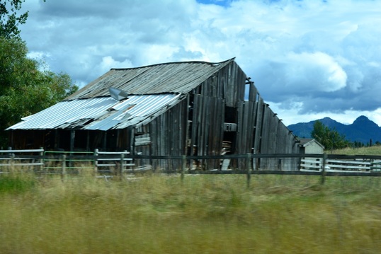
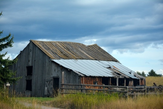
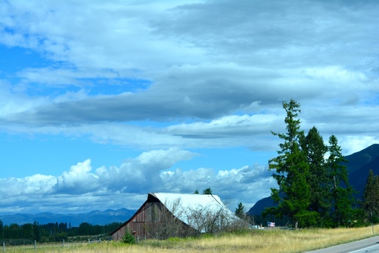
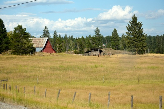
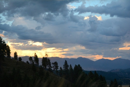
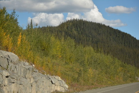
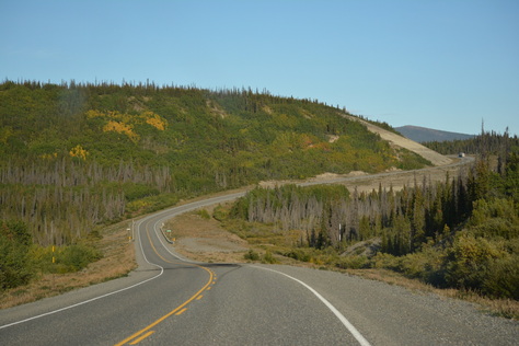
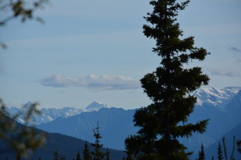
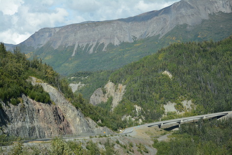
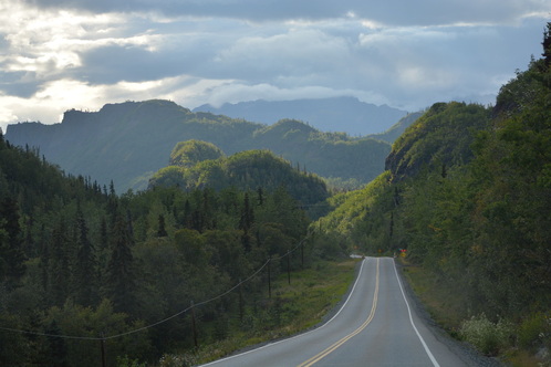
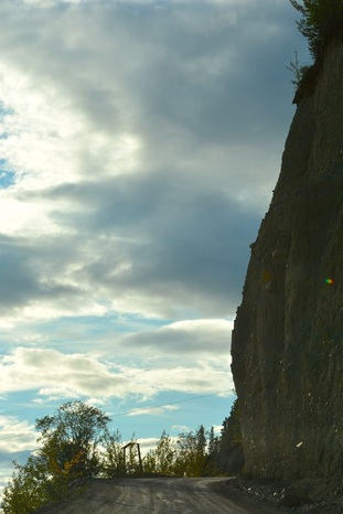
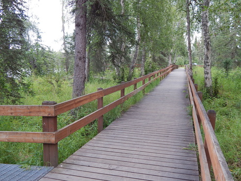
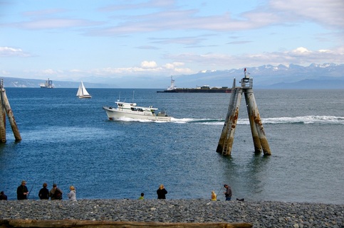
Views as we drive into the campground.
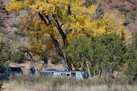
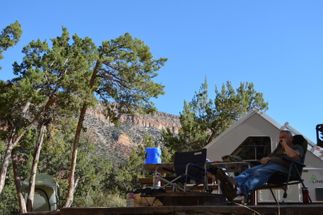
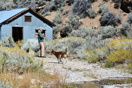
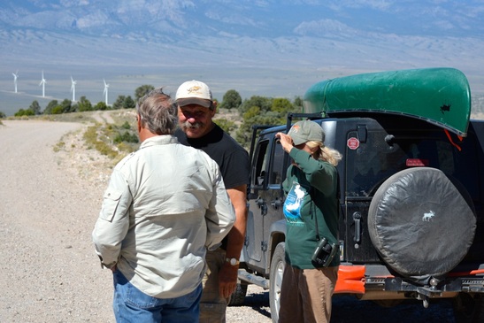
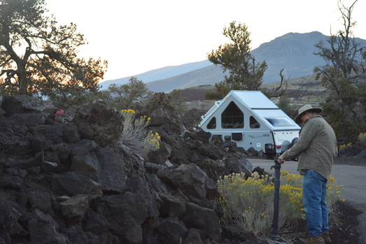
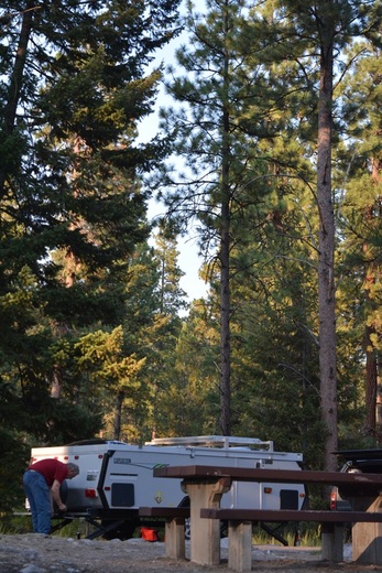
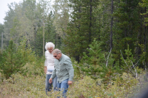
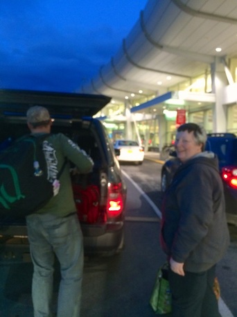
David talking to a young couple parked next to us.
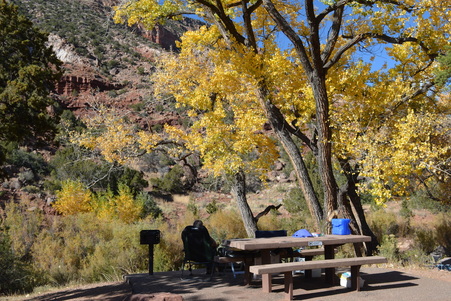
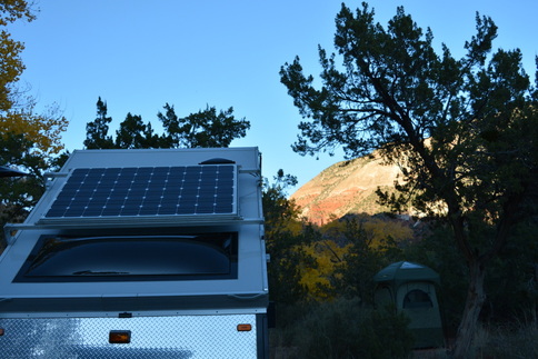
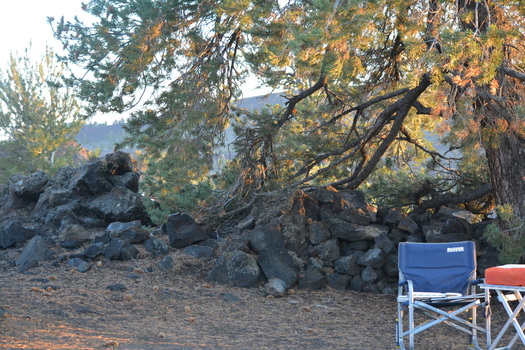
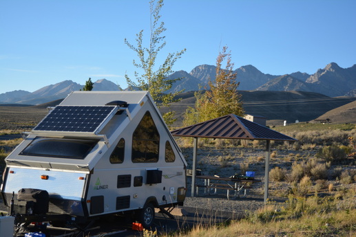
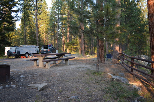
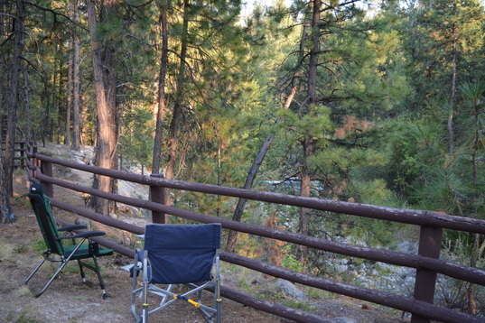
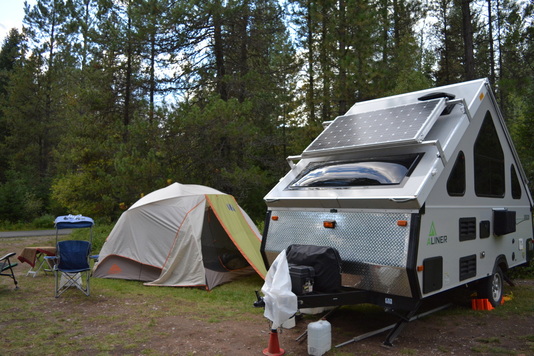
Relaxing on our patio after setting up the Aliner.
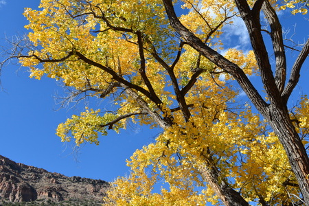
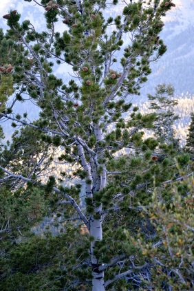
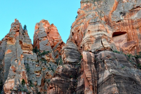
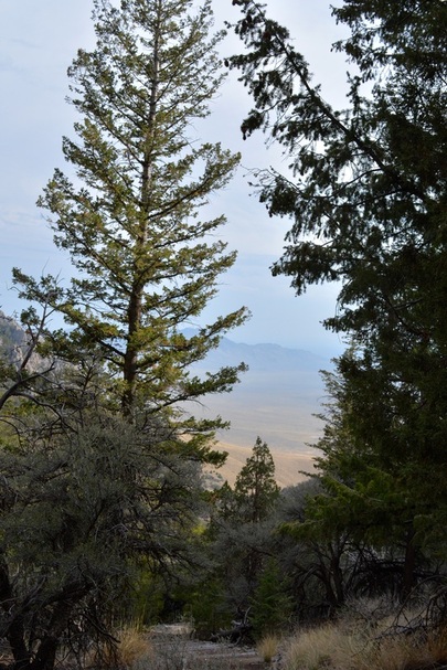
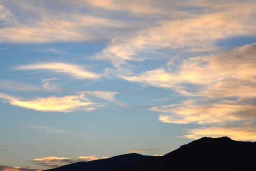
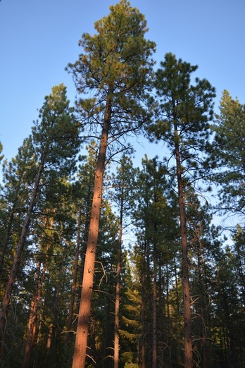
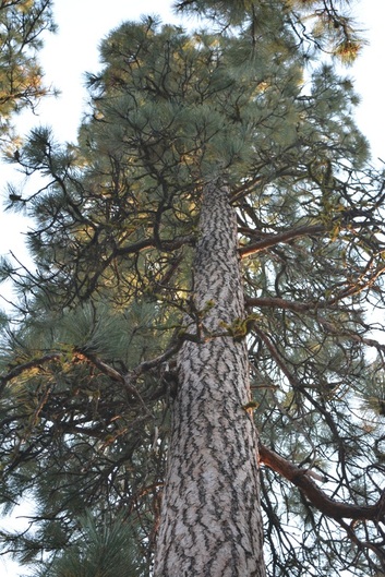
Looking up while sitting on our patio.
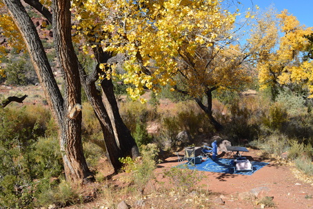
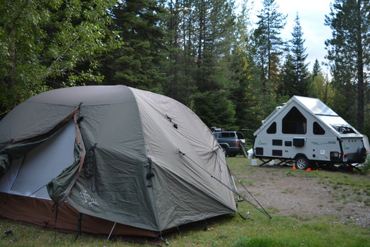
Walk down a small hill to our family room.
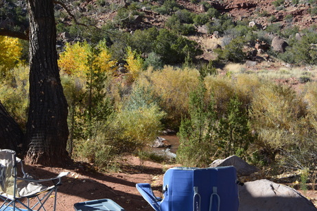
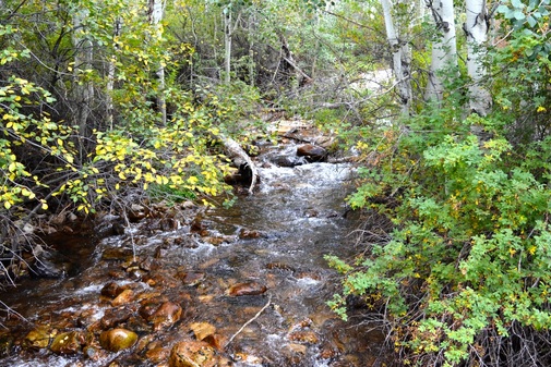
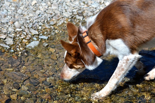
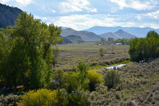
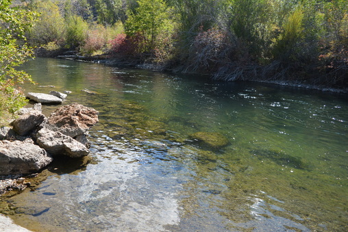
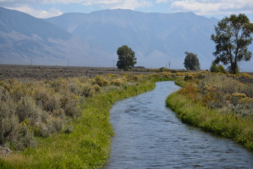
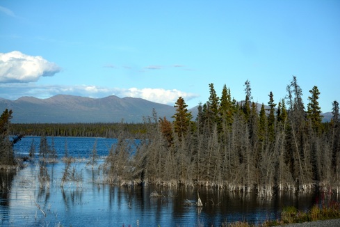
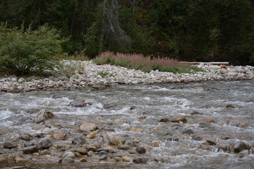
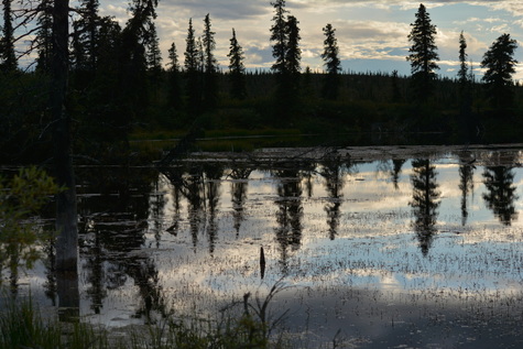
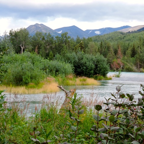
View of the stream from the family room or the patio.
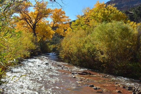
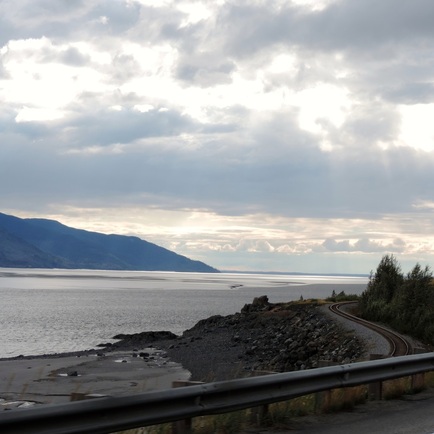
View upstream from our site.
View downstream from our site.
Views of our patio looking up from the stream.
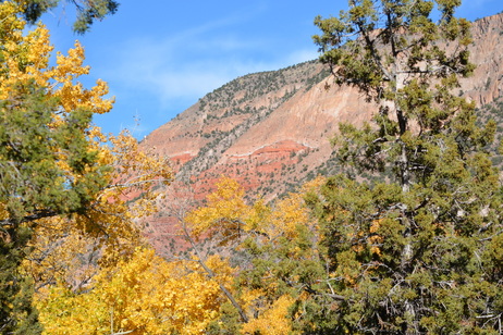
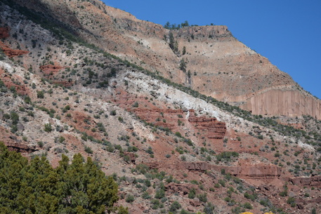
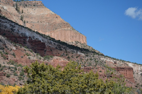
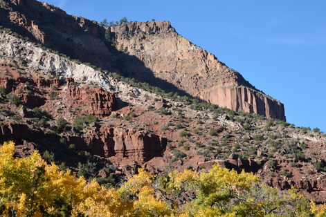
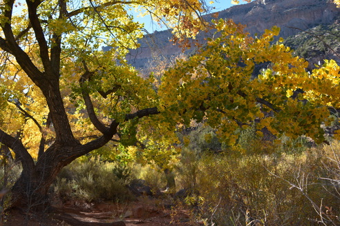
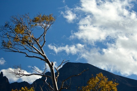
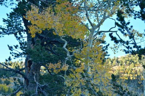
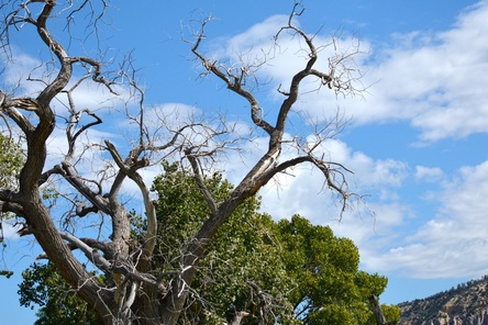
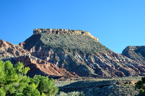
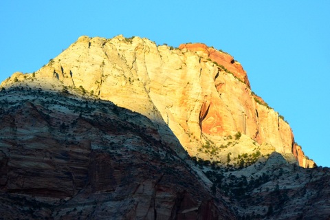
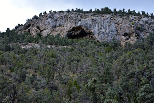
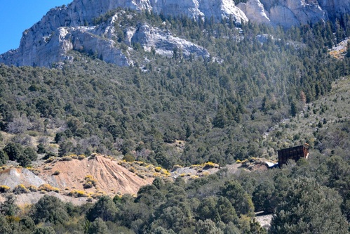
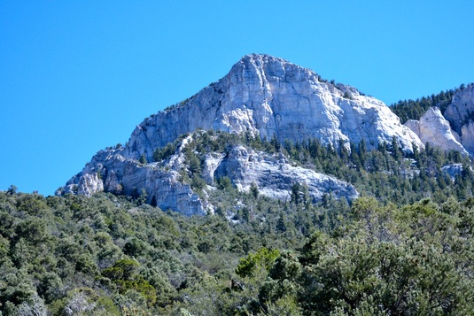
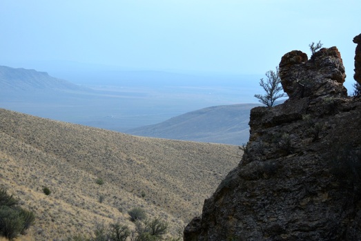
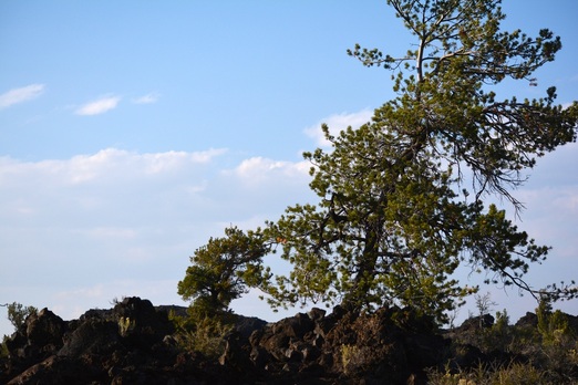
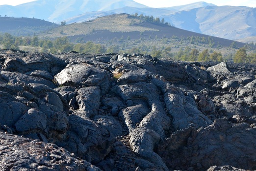
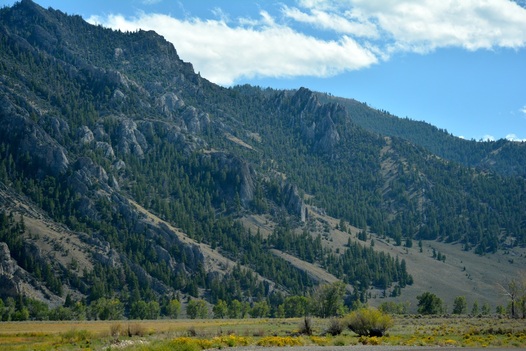
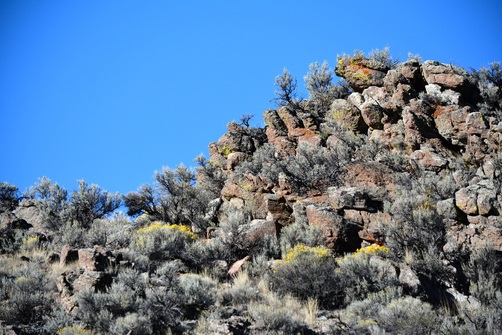
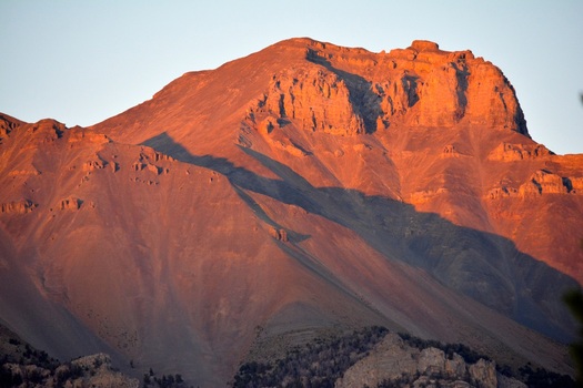
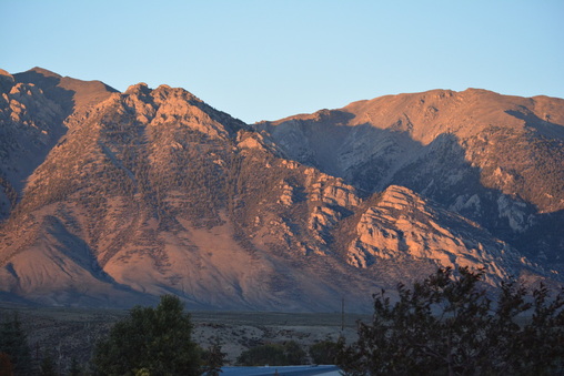
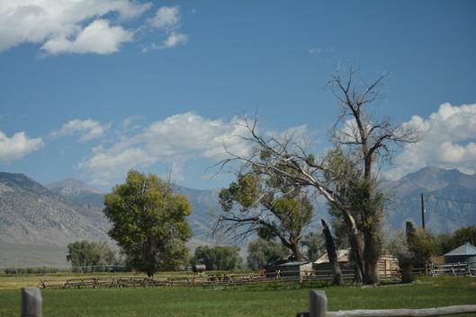
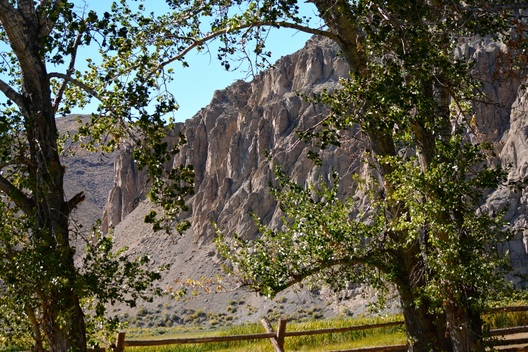
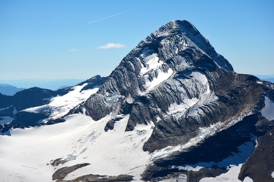
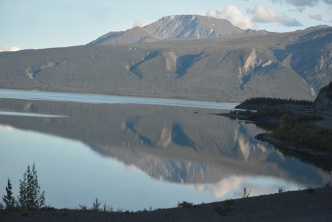
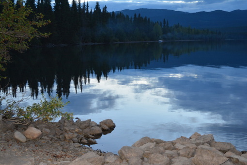
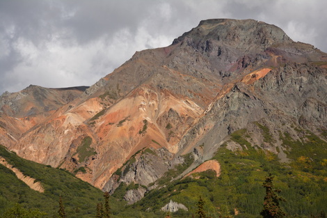
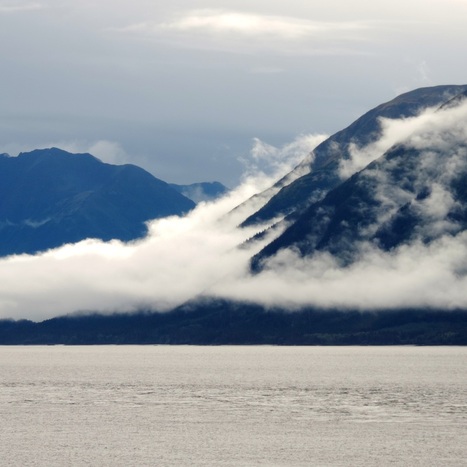
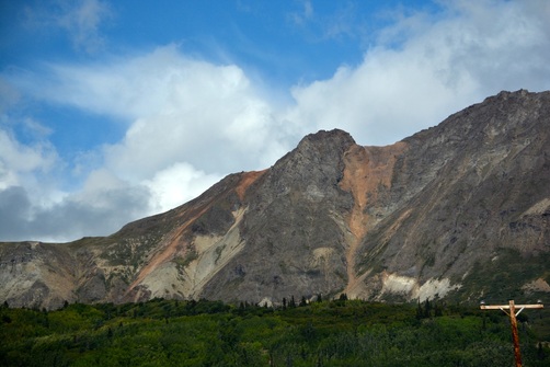
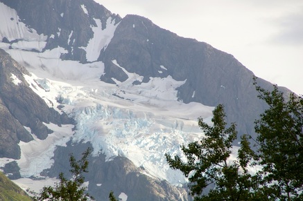
The stream and campground are at the foot of Virgin Mesa.
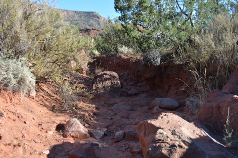
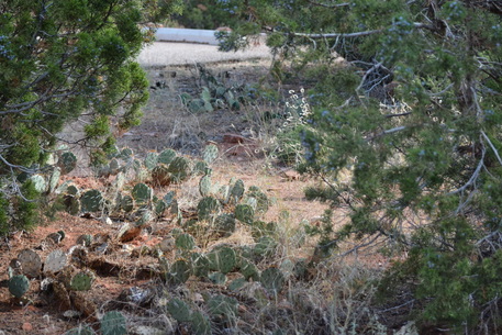
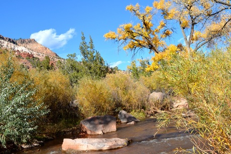
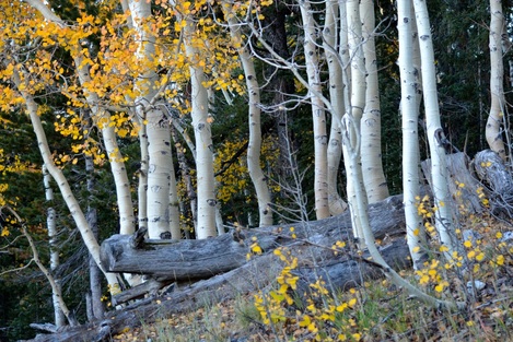
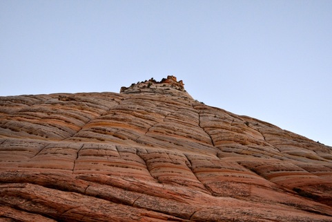
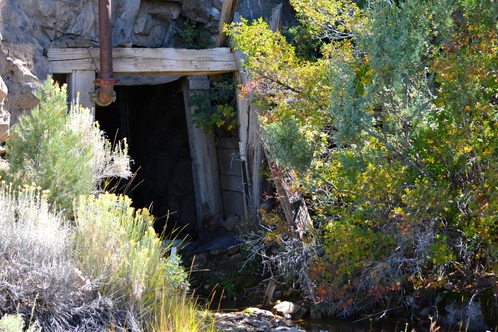
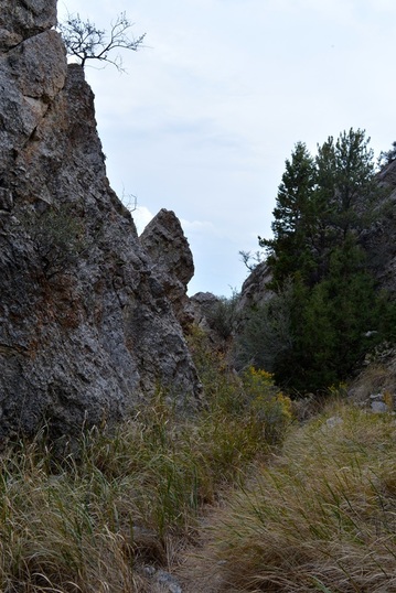
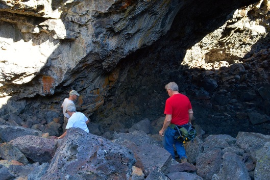
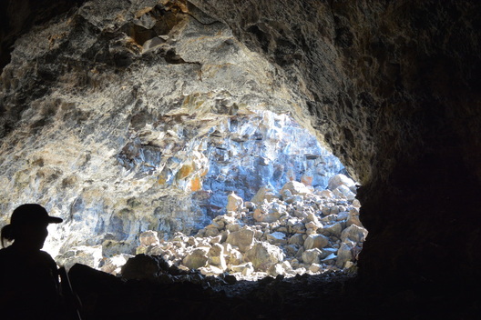
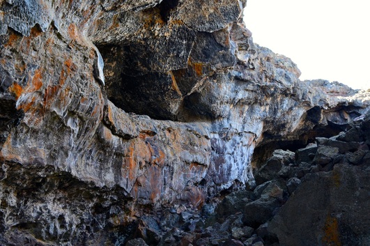
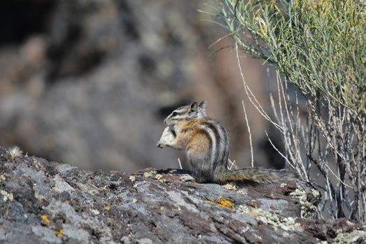
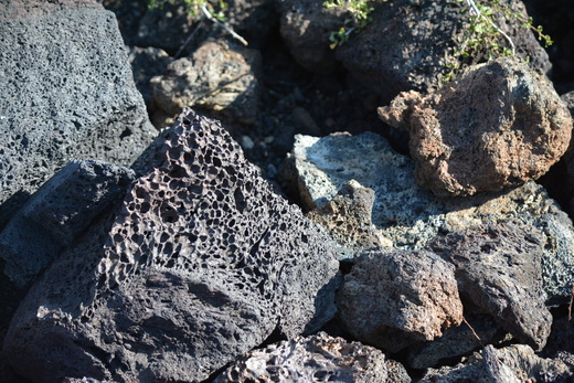
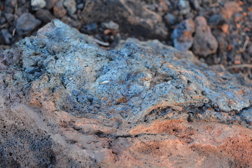
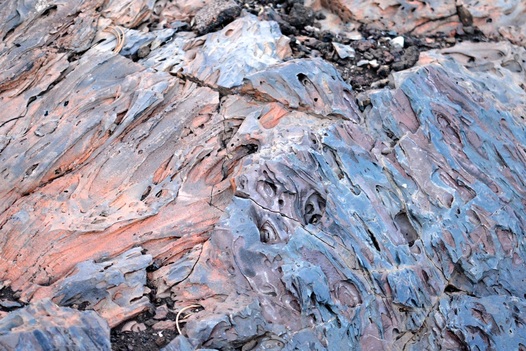
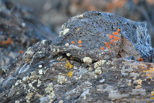
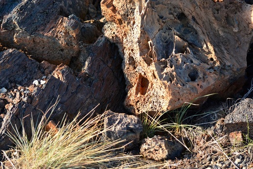
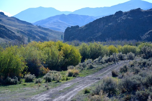
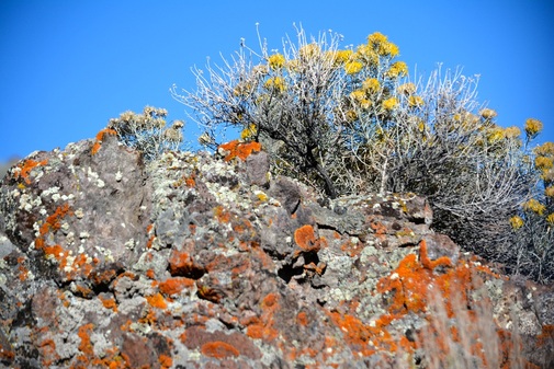
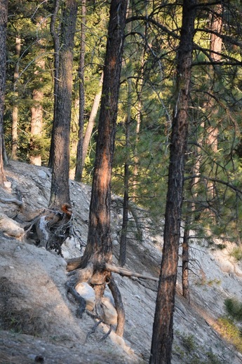
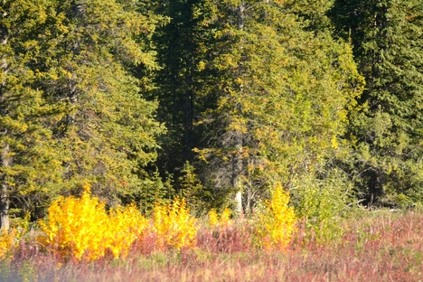
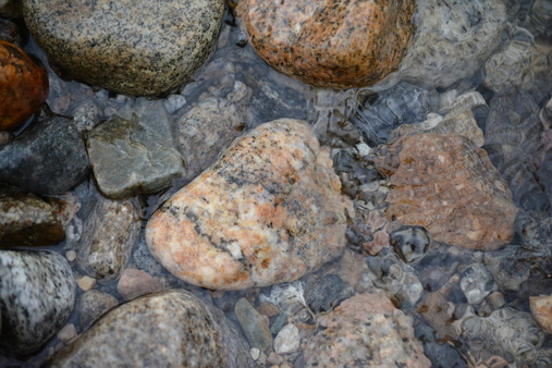
To the right of our family room is a dry wash that joins the stream bed. Fun to walk and look at the different rocks.
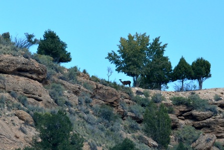
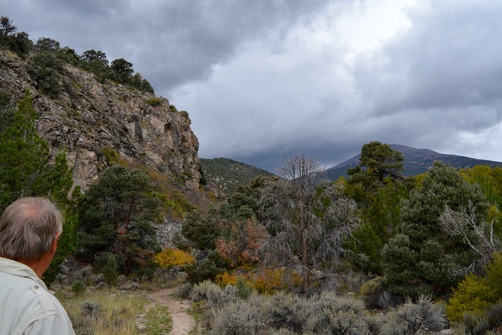
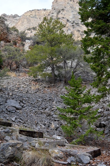
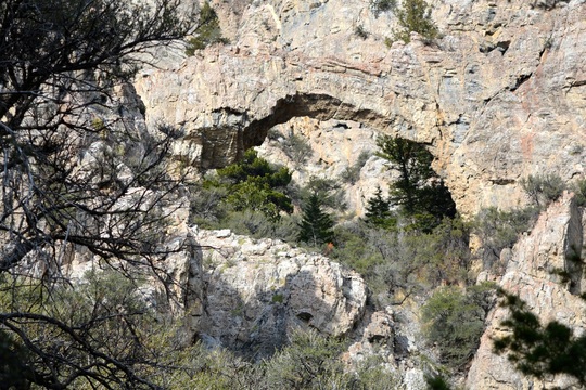
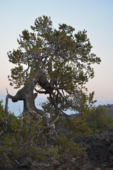
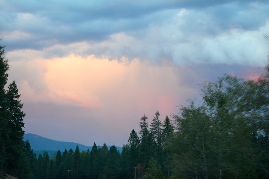
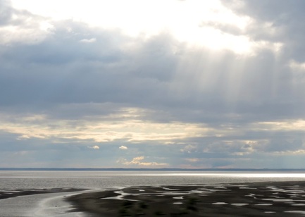
Beautiful view at the end of the wash.

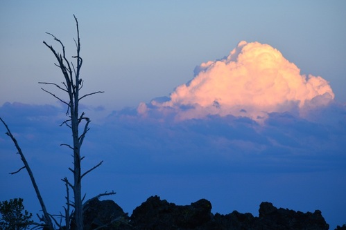
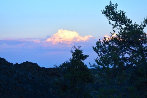
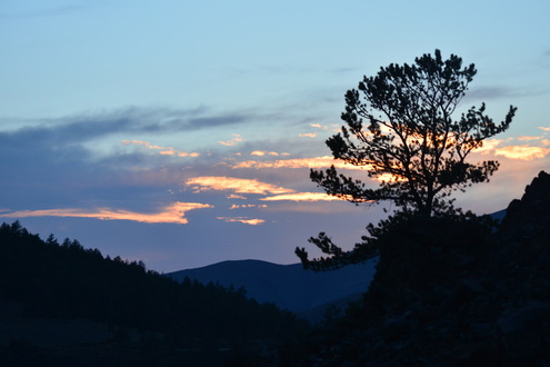
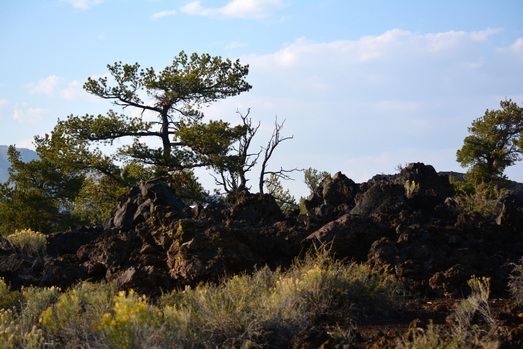
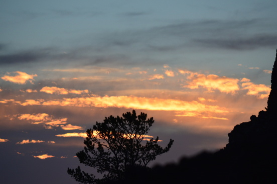
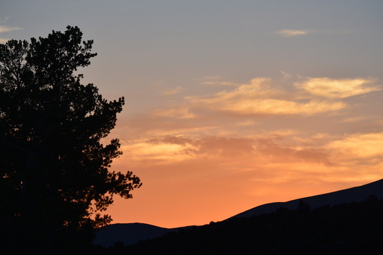
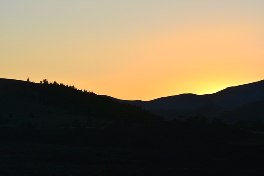
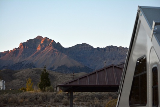
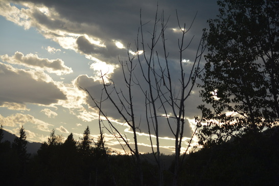
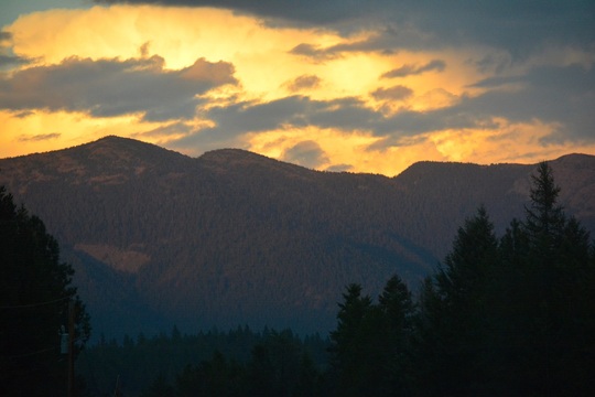
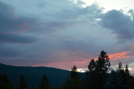
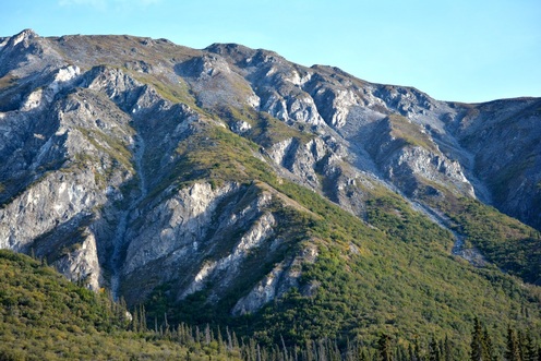
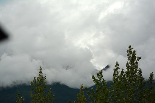
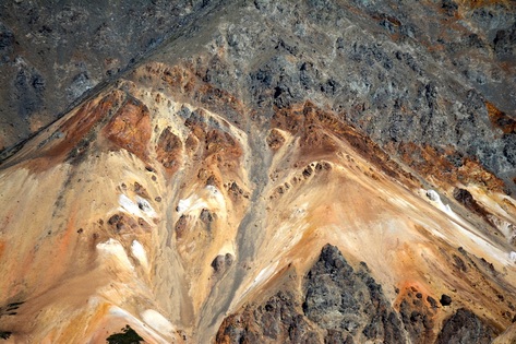
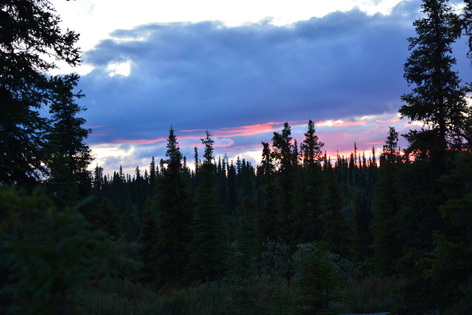
As the sun sets, it lights up the mesa on the east side of the campground.
It is so beautiful, we are going to stay here for the 14 day limit.
Next post I will get back to Bryce Canyon and the job of getting our travels up to date. Love to all! Kisses and hugs to Mom!!
Next post I will get back to Bryce Canyon and the job of getting our travels up to date. Love to all! Kisses and hugs to Mom!!


 RSS Feed
