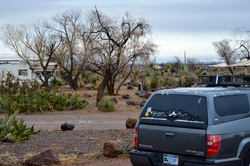
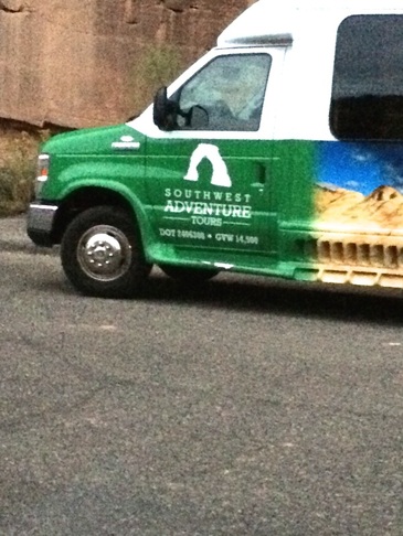
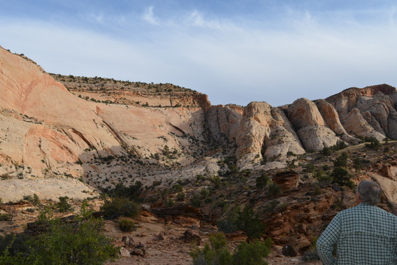
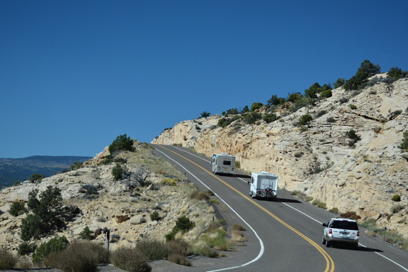
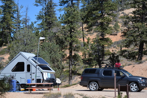
traveling doves
  • Blog
  • Home

Sunspot, New Mexico....

12/27/2014

 
Picture
 Our little snow 
      on the truck
          in the high desert.

              Dec. 27,  2014

( Writing this from Pancho Villa State Park, on December 27,  three miles from the Mexico border town of Palomas and watching the snow fall on us. Washed the dishes out at the picnic table while it snowed. Are we having fun yet?!!! )
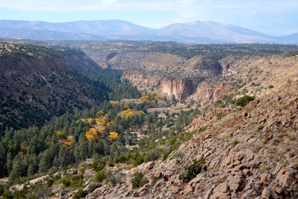
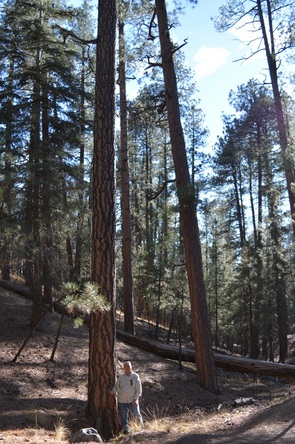
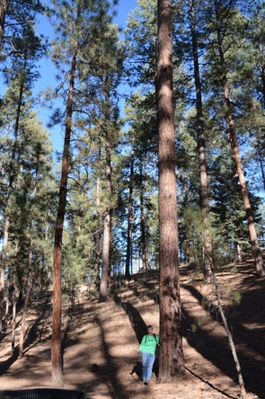
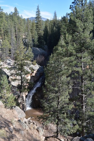
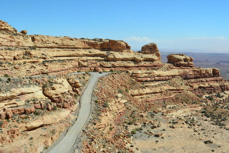
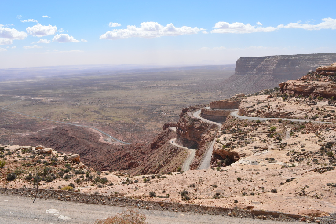
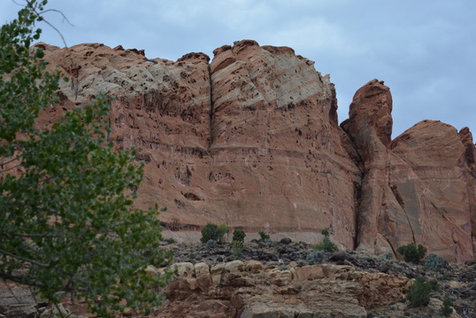
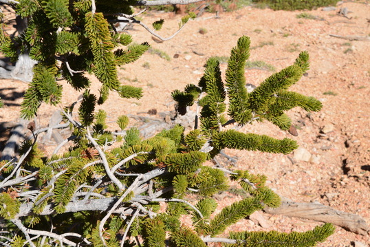
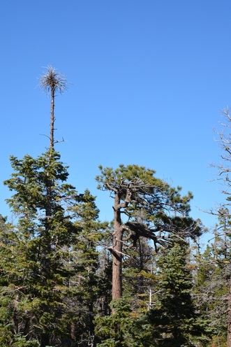
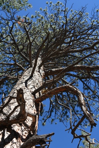
Sunspot ( elevation 9200 ft. ) is a very little town, it has it's own post office, that is the location of the Sunspot Solar Observatory and the  Apache Point Observatory.   It's official name is the National Solar Observatory at Sacramento Peak.  ( www.nsosp.nso.edu )    It is located 40 miles southeast from Alamogordo and the drive up to the Sacramento Peak includes a  curving road with a 4500 foot altitude difference in a 16-mile span.  The drive takes about one hour by car from Alamogordo and is a gorgeous drive through the Lincoln National Forest with many deer sitings and beautiful views of the valleys and canyons with pull-offs for taking pictures.  Cloudcroft is the nearest town for gas and amenities.   
Picture
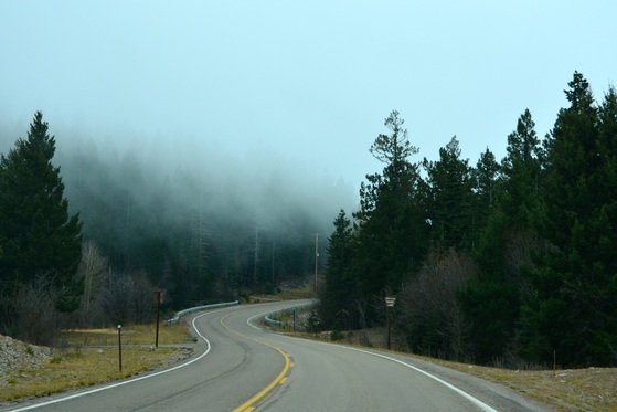
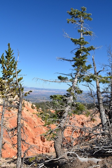
We drove up to the peak on November 12 and drove into the clouds.
Picture
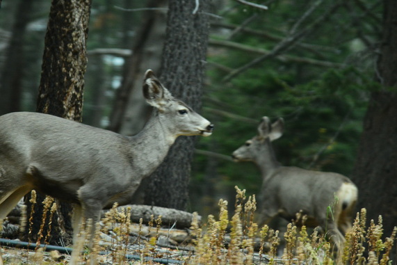
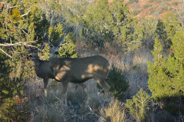
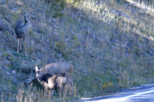
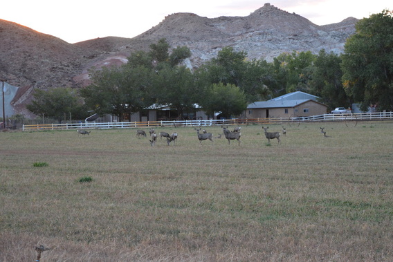
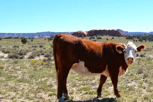
Saw mule deer all along the drive.
Picture
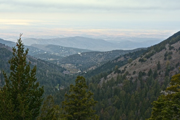
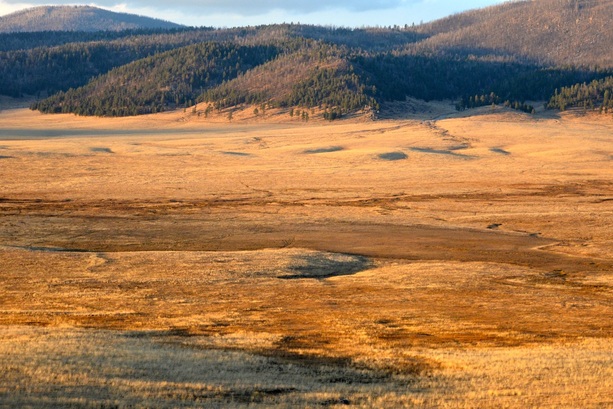
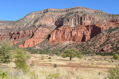
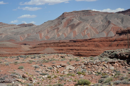
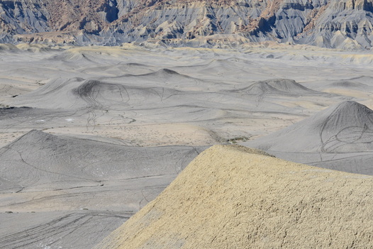
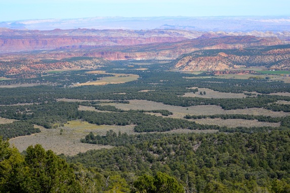
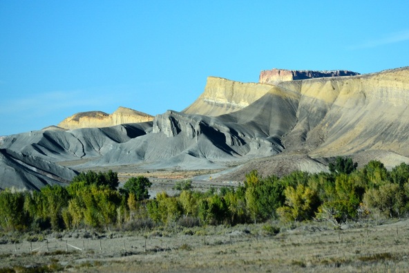
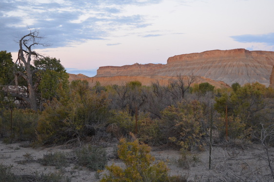
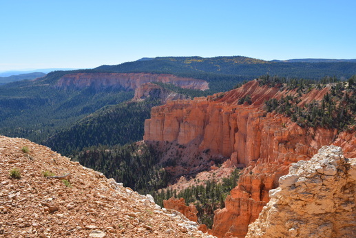
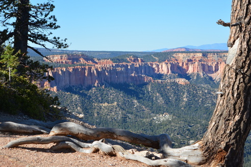
A hazy photo of the valley.
Picture
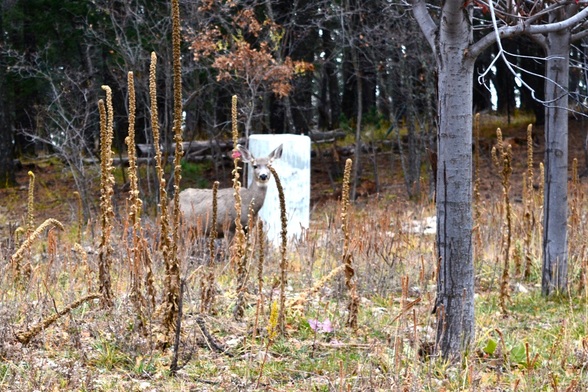
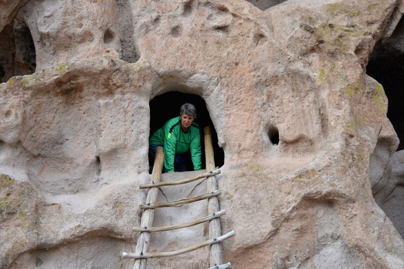
Deer where feeding right in front of our truck while we ate lunch in the parking lot of the visitors center.   Unfortunately  the center closed early that day so we didn't get to see any of the exhibits.  We did walk around the grounds on the self-guided tour and plan on getting back here someday. 
Picture
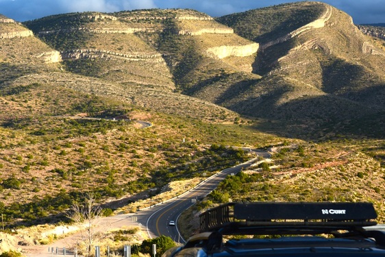
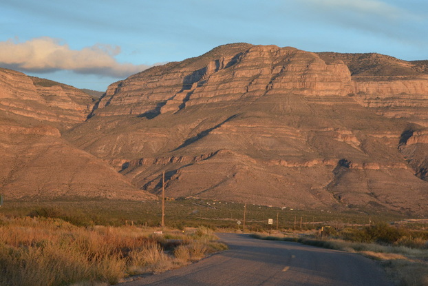
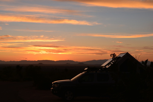
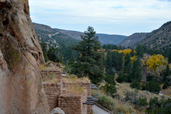
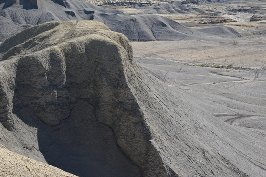
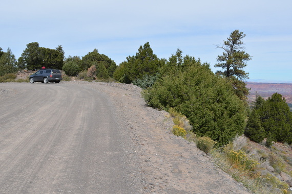
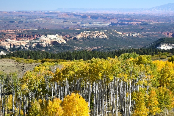
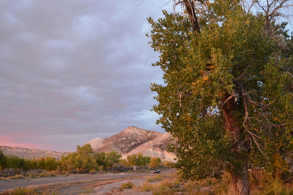
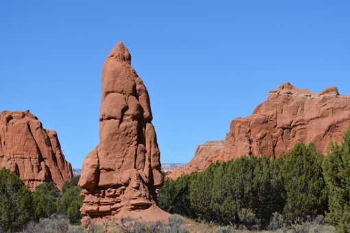
On the way back, we pulled up on a hill and took a photo looking back at the mountain that we crossed.   You can see the top of our truck in the bottom of the picture. 
Picture
Picture
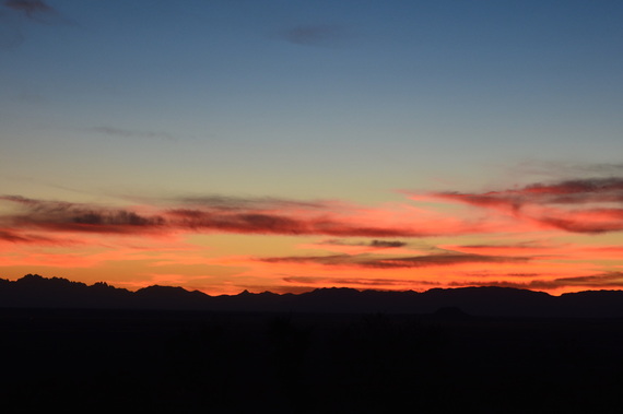
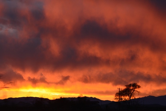
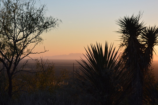
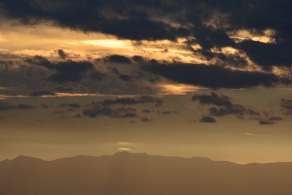
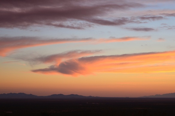
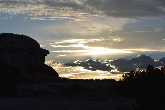
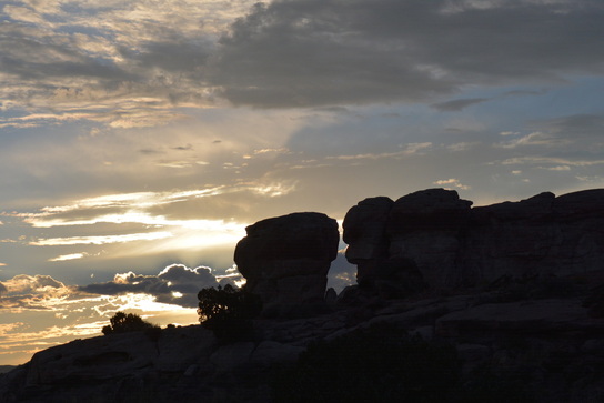
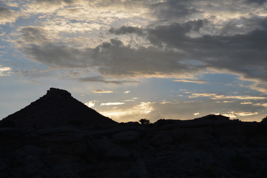
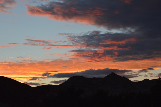
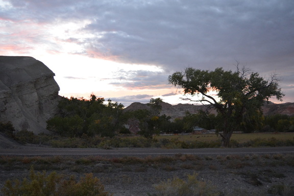
Ending this post with that evenings sunset.   These photos were taken from a moving vehicle.  We couldn't pull over and the sky changes by the minute so I just keep snapping and hope for the best.        XOXO

Oliver Lee Memorial State Park in November....

12/26/2014

 
( Writing this on December 26, at Pancho Villa State Park in New Mexico. )
On November 11, we moved from Vista Linda N.F. Park  to Oliver Lee State Park, off  NM-54,  south of Alamagordo, New Mexico;  trying to stay ahead of the ever cooling night temperatures.   We paid for five nights at $10/ night for a non-electric campsite.  then we found out about the New Mexico Annual Camping Pass.  For a non-resident the annual pass is $225.00, it is good for 12 months from date of purchase and covers the $10.00 nightly camping fee for the 365 days in that 12 months.  ( For an electric site there is a $4.00/night additional fee. )  There are 36 state parks to choose from and they have showers and flush toilets.  They also have great ranger lead programs through out the year.  For us full timers this is a very wonderful and economical way to explore this beautiful state.  Actually we fell in love with New Mexico before we heard about the pass, but since we bought it we keep wanting to try more of their parks.  So far, since November 11 to December 26, we have stayed at Oliver Lee, Rockhound, Leasburg Dam and now Pancho Villa State Parks.  Everyone of them have something special about them and defiantly made us want to return.
The national parks and national forest campgrounds are very beautiful and affordable, and we will use them also, but it's sure nice to have a hot shower for the same price as a campground with only pit toilets and a hand-pump. 
Picture
Campsite at Oliver Lee.
Picture
Our camper was at the base of the Sacramento Mountain.
Picture
Furby had to check out the cactus at our site.
Picture
This was our first site with lots of cactus.
Picture
The road leading to our campground, the white dots at the base of the mountain are the campers.
Picture
Just Furby again !!!
Picture
He wants to say hi to all the Hooligans !!!!
Picture
I took this from the door of our camper.
Picture
Picture
Picture
The sunsets every night are unbelievable, these are all from one night !!!
One little thing we would like to add,  a special thank you for the wonderful Christmas Card from our friends at the Friends.   That was a special surprise for us and greatly appreciated.  Miss you all !!  Happy New Year !!!!!
Picture
From Us....
Picture
.... To You.

MERRY CHRISTMAS TO ALL OUR FAMILY AND FRIENDS....

12/24/2014

 
As we write this on Christmas Eve,  we know there are so many good things going on for all of you this holiday and we want you to know we love and miss everyone.  We know you are happy that we are able to be on this wonderful adventure and that makes the missing bearable.   We send all our love and kisses and hugs!!!!   
        Merry,  Merry  Christmas, To All Of You !!!!!!    
Picture
From our simple home....
Picture
Picture
Picture
Picture
Picture
....to all of you. We love you.

Bandelier National Monument....

12/20/2014

 
( Writing this from Leasburg Dam State Park, New Mexico on December 20.   Hi, Mom. )
One of the day trips we made from Vista Linda, on November 1, was to Bandelier N.M.  This was our first time at seeing ancient Cliff Dwellings.  They are so beautiful and you can really feel the spirituality of the ancient ruins as you climb into their homes carved into the mountain.
Picture
As you approach Bandilier from the top of the crest, you curve around to the bottom left hand side of the picture you can just make out the road as it descends into the valley.  Looking in the the middle, the cliffs have a vertical line with a reddish color near the top of the cliff and getting whiter toward the bottom.
Picture
After leaving the visitor center is is a very nice walk through the villages communal buildings ruins and then up to the cliffs.  The views down the valley were especially beautiful with the fall colors.
Picture
Picture
Picture
Xavier, we knew you like the indian rock art; what do you think this is a drawing of?
Picture
The trail follows along the cliff with many dwellings and pictographs and goes down to the floor of the valley where you walk along the area that floods in the spring melt.  The tree debris are washed down from the floods.  Can you see the row of dwelling openings above the vegetation line on the cliff side?
Picture
The mule deer watched as we left the park.
Picture
Night all !

Jemez Falls, North of Vista Linda Campground....

12/17/2014

 
( Writing this from Leasburg Dam State Park, New Mexico on Dec. 17. )
We left Clear Creek near Cuba on October 27 and moved south to Vista Linda National Forest Campground which has a  3000 foot lower elevation thus a warmer climate.  In a previous post,  (Present Time: Our New & Best Campsite So Far... on 10/30/2014 ), we described Vista Linda as the best camp site so far. Now at the end of December that is still true.  The three campgrounds we have stayed in since are all great but the prettiest site  was still at Vista Linda with the Jemez River flowing by our camper; and the Cottonwood trees and the Virgin Mesa as our landscape.   Since we showed many pictures of the site before, we will share some of the surrounding attractions that we visited during our two week stay.
Picture
Battleship Rock north on Highway 4 from Vista Linda where we stopped to eat a picnic lunch.
We were heading up Hwy. 4 to visit the National Forest Campground and to hike the trail to Jemez Falls.   Battleship Rock and Soda Dam were two beautiful sites to stop at on the way.
Picture
Picture
Picture
The giant Ponderosa Pines were gorgeous in the fall forest. Jemez Falls is up at 8000 ft. elevation and would be perfect for camping in the New Mexico summer. The campground was still open for Elk hunters to use as a base camp for their hunting, but would close when snow started. Vista Linda is open all year.
Picture
The village of Jemez Springs, just north of camp, has a beautiful church and the Cor Jesu Monastery  both located on Hwy. 4.    I really liked the sculpture outside the church and would find myself photographing it many of the times we drove by.
Picture
Picture
Picture
At the foot of the mesa, toward the left of the photo, you can almost see our campsite from Hwy. 4.

Camping in Cuba, New Mexico in October....

12/12/2014

 
Picture
Tea Kettle Rock not far from camp.
Picture
The other side of Tea Kettle Rock. So Cool!
Picture
( Writing this from Radium Springs, NM in the Leasburg Dam State Park on Dec. 12. )

Cuba , New Mexico during October 25-27 was very pleasant.  It is a place we would go to again but in warmer weather since the campgrounds were up in the mountains at 8200 feet elevation, a month earlier would have been great.  We stayed at Clear Creek National Forest Campground for $5. night (senior pass), on NM Hwy126  with beautiful Ponderosa Pines.
Picture
Picture
On this mountain, the public land is available to ranchers for open grazing.
Picture
Ranchers on horseback guiding the cattle home.
Picture
These ranchers use a more modern method, while the grandsons waved a feed sack so the cows would follow them home.
Picture
Picture
I call this the flying cow picture. Does the cow on the left look like all four hooves are off the ground?
Picture
This big boy didn't understand the meaning of the cattle guard at our campground entrance. He really liked the grass at the back of our camp site.
Picture


This great little Grill inside the 
Phillips 66 is where we had our first taste of 
Fry Bread and fresh Green Chilies.  
Caliente!  Yum. Yum.

Aztec Ruins National Monument, New Mexico....

12/1/2014

 
Picture
( Writing this from Deming, New Mexico on Dec 1, 2014.   Hope everyone had a Happy Thanksgiving.  We sure did with our chicken, sweet potato and green bean dinner.  And a hike on the trail that got us a cool iPhone video of a tarantula walking on the rocks.  I am not able to include a video in this blog but if you have a iPhone I can text it to you. )

Now,  I will get back to the Aztec Ruins, which we visited on Oct. 25    while we where camped in Farmington, NM.  It was a short drive out of Farmington, so we packed a lunch and did a day tour of the National Monument ( it is also an International Heritage Site).  At the ruins you can walk through the actual pueblos and they have a reconstructed Kiva that you can enter;  it is a chamber built underground for religious ceremonies.  Walking through this park is a very beautiful and inspirational experience.  Stop at the visitors center first to watch the short film and pick up a written guide describing the ruins.
Picture
Picture
Picture
Picture
Picture
Picture
These timbers are over 1000 years old and still holding up an upper floor. It's so amazing to walk right under them and see them up close.
Picture
A partial Kiva in it's original form without a roof.
Picture
This is a two story pueblo, some were even three stories.
Picture
After walking around the site, we had lunch in their beautiful picnic area.
Love to all,  Barb and Dave

Onward  To  New Mexico....

11/21/2014

0 Comments

 
( Writing this from Alamogordo Public Library, New Mexico on Nov. 21. )
Picture
Six months ago Furby was asking for a winter coat when he was up in the Canadian Rockies. Now his fur feels to warm in the desert.
On October 20, we moved out of Utah,  cut through Colorado, and camped for five nights in Farmington, New Mexico.   Farmington is a large city and we had to camp at a RV park.  Luckily we found a very nice one called Mom and Pops RV Park on the outskirts of town, the owner was very nice, handed out tons of info on the area sites, and had very clean, hot showers. The reason we picked Farmington was for the Sam's Club and other large stores to stock up on supplies and get prescriptions filled.
The first thing we did, on the recommendation of Pop, was make an appointment for the personal and free guided tour of the Bolack Wildlife Museum and the Bolack Electromecanical Museum.  These museums are privately owned by the Bolack family and open to the public by appointment only for no fee.   Very worth while.  Five Star.
Picture
Picture
Picture
Picture
Picture
One of the first X-Ray machines
Picture
Picture
Picture
Custom car ordered by Elvis before he died. It was never delivered.
Picture
Having fun in New Mexico!
0 Comments

Willow Creek Road,  Moab, Utah....

11/18/2014

1 Comment

 
( Writing this from Alamogordo, New Mexico on Nov. 18.  Hanging' at my favorite library table. )
October 15, we moved to another free BLM site near Moab, Utah, on Willow Creek Rd.   This area is very popular and tons of other campers were here, though there was lots of privacy.  This is the mecca for mountain biking in the spring and fall.  Nearby is Canyonland National Parks and Arches National Park.  Here are some views....
Picture
Picture
Picture
Picture
Picture
Picture
Picture
Picture
Picture
1 Comment

Bluff Fort continued....

11/18/2014

0 Comments

 
( Writing this from Alamogordo Public Library on Nov. 18. )
Bluff Fort is a reconstructed fort, built and maintained by the descendants of a group of  Morman pioneers.    What we enjoyed best was the fact that you could walk inside each cabin and the recorded voice from that families descendant would tell a family story.  It was a very large compound and there was no fee.  Four stars for this site.
Picture
I have many beautiful pictures of this fort and all the cabins, but I am going to show the ones with the handmade quilts.
Hope you enjoy this Mom!!!
Picture
Picture
Picture
Picture
Picture
Picture
Picture
Picture
Picture
If you ever get to go here, be sure to watch the film, very interesting.
0 Comments

Bluff Fort,  Bluff, Utah....

11/17/2014

1 Comment

 
(  Writing this from Alamogordo Public Library, New Mexico on Nov. 17.
Very nice library and staff.  )
We were near Blanding, Utah from October 10-15.  One of the side trips we did took us down the Mogi Dugway , stopping at the Natural Bridges National Monument and then to Bluff to visit Bluff Fort.
Picture
Picture
Picture
Picture
Driving the Mogi Dugway.
Picture
Picture
Bluff Fort continued in next posting.
1 Comment

Cottonwood Road, near Blanding, Utah....

11/17/2014

1 Comment

 
( Writing this from Alamogordo, New Mexico on Nov. 17.  Camped at the Oliver Lee Memorial State Park. )

On October 10 we left Capital Reef and Sleepy Hollow, and headed toward Blanding, Utah.  We found a boondocking campsite on Cottonwood Road ,
a National Forest Service Road with free dispersed camping.  There was one other camper there for the five days we stayed.  Around this area are many sites to explore with Ancient Indian Ruins as much as one thousand years old.
Picture
Cottonwood Road
Picture
Another dispersed camping road nearby.
Picture
On the main road into our camp.
Picture
Zigzag Mountain.
Picture
Kissing Rocks in Mexican Hat, Utah.
Picture
Rock climbers at Mexican Hat Rock.
Picture
Picture
Ancient Ruins at Hoovenweep National Monument.
Picture
Picture
Picture
Miss everyone,  Barb & Dave
1 Comment

Hickman Bridge Hike and Petroglyphs...

11/10/2014

1 Comment

 
( Writing this from Carrizozo, New Mexico on Nov. 10. )
October 9.....The day before we leave this area we do one more hike.  Along the base of the mountain are very well preserved Petroglyphs from the Fremont Culture, created about 300 to 1300 CE. The modern-day tribes most closely related to the Reef Petroglyphs are the Hopi Tribe and the Pueblo of Zuni.
After following the path with the drawings, we came to the trailhead for the Hickman Natural Bridge.  This was even more interesting and challenging than the Tanks Hike. 
Picture
Picture
Picture
Picture
Picture
You can see how the stone sheers off and can imagine how many drawings have been lost over all the years.
Picture
Picture
Picture
Picture
Picture
Picture
Growing out of the sand and rock.
Picture
Picture
Picture
Hickman Natural Bridge at the top of the trail.
Picture
My battery was low , so most of the pictures are taken on the way down. Didn't want to run out before I got a picture of the bridge.
Picture
Picture
Picture
Picture
Picture
Picture
Picture
Picture
Picture
Picture
Picture
Picture
In case any one is interested, we talked to a couple from Ohio who were on a Southwest Tour.   They flew into Salt Lake City and were picked up in vans driven by  tour guides.  They stayed at hotels and toured the five Great Circle Of National Parks in Utah.  They were very , very happy with the tour and their guide who was personally knowledgable about the parks and tried to do different types of hikes each day.
Picture
1 Comment

ORV  Designated  Open Play Area....

11/10/2014

0 Comments

 
Picture
Mom, what a great birthday you had. Miss you all a bunch!!
( Writing this from Carrizozo, New Mexico on Nov. 10.  Our new camp is a BLM campground, Valley of Fires in the Malpais Lava Beds on US 380.  )
October 8....As we near the main road, after exploring the Caineville Wash Road, we stopped at the restroom and then read the information board near by.  It tells us there is a designated open play area for Off Road Vehicles managed by the Bureau of Land Management (BLM).  Since David and the boys used to love this sport,  we decided to check it out.  We drove on, north of the sign and found a huge staging area and then tons of tracks from dirt bikes that looked like they were going over the cliff.  We parked and walked to the end of the tracks.  They really were going over the cliff, between 500-700 feet almost straight down, along a ledge a mile long.  Below was miles of hills to ride.  I tried to get pictures that show how amazing this area is and how cool that the BLM  keeps a special place for those that love this sport.
Picture
Picture
Picture
Where the light colored earth is, is the end o the cliff.
Picture
Picture
This is one of the spots that I stood on to take pictures of the bottom.
Picture
Picture
Picture
Picture
From far back the cliff looks straight in the camera view, but as you can see, when you get to the edge of the cliff, it is very uneven.
Picture
I can't imagine driving over this, it was scary to stand there!!! I didn't even walk all the way to the end of this one.!!
Picture
Picture
Picture
Picture
Picture
I sure hope you guys will get to see this in person someday.
Picture
Driving home to Sleepy Hollow.
Picture
Picture
The end of a perfect day. But not the end of our Reef adventures.
0 Comments

Caineville Wash Road...

11/9/2014

1 Comment

 
( Writing this from Cañon, New Mexico on Nov. 9. ) 
Happy Birthday,  Mom!   And many more!!!!

Camp owner, Forrest told us about a scenic drive off of Hwy.24 south of our camp.   Very wild, one lane sandy road with great rock formations.
So this is another days adventure on October 8.
Picture
Picture
Picture
Picture
Picture
Picture
Picture
Picture
Picture
Picture
Picture
Picture
Picture
Picture
Picture
Picture
Picture
Picture
It took us an hour and a half to get to these monuments and every inch of the way was gorgeous.
Picture
The sun was in the wrong direction, so I edited the light in this picture.
Picture
These monuments were so big , I had to climb another hill to get some pictures.
Picture
Picture
Picture
Picture
Picture
Picture
Picture
Picture
Picture
Picture
Late afternoon sun lighting up the Butte.
Picture
These pictures are not edited.
Picture
At the Sun and Moon Monuments we turned around and went back. But at the end of what we thought was our adventure , we make another discovery.
1 Comment

Photos In Capital Reef....

11/9/2014

0 Comments

 
( Writing this from Cañon, New Mexico on Nov. 9. )

Nov. 9 is mom's birthday, miss you !!!

  Happy Birthday, 


                      Mother !

Here are some more pictures of the drives inside the national park 
on October 7.
Picture
Picture
Picture
Picture
Picture
Picture
Picture
Picture
Picture
Picture
Picture
Picture
Picture
Picture
This rock is as big as a car.
Picture
Different minerals strek the rocks.
Picture
Solution cavities.
Picture
The last three posts were all from one day of exploring the Reef.
0 Comments

Hike Up To The Tanks....

11/7/2014

0 Comments

 
( Writing this from Cañon, New Mexico on Nov. 7. )
October 7....At one point along the Great Gorge there is a trail up one of the mountain sides that lead to something called the Tanks.  What they are,  are pools of clear water sitting in indentations in the rock, two tenths of a mile up from the gorge floor and a gorgeous hike up to see them.  It defiantly felt like way more than two tenths of a mile, more like David trying to collect my life insurance!
Picture
Beginning of the trail.
Picture
Looking down.
Picture
Climbing.
Picture
Climbing.
Picture
On the trail.
Picture
Still climbing.
Picture
Climbing some more.
Picture
Climbing.
Picture
Rocks on the trail.
Picture
Climbing.
Picture
Ta Da !! Pools of water.
Picture
And if we were pioneers traveling through the gorge, we could take some of this water down to our horses.
Picture
Picture
Picture
Picture
Going down.
Picture
The bottom!!!
Picture
Driving home.
0 Comments

Scenic Hike in the Reef...

11/7/2014

0 Comments

 
( Writing this from Cañon, New Mexico on Nov 7. )
October 7....Within the park, there is a three mile scenic drive that ends at a parking area to a trailhead through canyons called the Great Gorge and still more trails.
We walked one mile to the Tanks Trail that took you up the mountain side.  First I'll do pictures of the canyon then in the next post , the hike up to the Tanks.
Picture
Picture
Picture
Picture
Picture
Picture
Picture
Picture
Picture
Can you see the rainbow? I thought you had to have rain for a rainbow.
Picture
Picture
Picture
Picture
Picture
All these different rock formations in just one mile, of course this is just a sampling of what we saw.
0 Comments

Capital Reef  Area,  Part  3....

11/7/2014

1 Comment

 
( Writing this from Can`on, New Mexico on Nov. 7.   One little note about Can`on and the Vista Linda campground, this is the first time in the six months we've been gone  that we are staying for the 14 day limit. It feels just fine and we will be doing it as much as possible from now on , weather permitting, since it saves money on gas.  Also, we really like getting to know local residents and store owners.)
During our stay at Reef between October 5-10, we took many drives in various communities around the national park. 
Check out these properties, how would you like to come home from work to one of these views?
Picture
Picture
Picture
Picture
Picture
Picture
Picture
Picture
Picture
Picture
Picture
Picture
Picture
Picture
Picture
1 Comment

Area of Capital Reef , Part 2 ....

11/6/2014

0 Comments

 
(  Writing this from Jemez Springs Public Library, New Mexico on Nov. 6. )
How was that?  Here are more pictures of the towns around the Reef , October 5-10.
Picture
Picture
Picture
The town of Loa was having a community scarecrow contest.
Picture
Picture
I don't know if the bank staff or the remodeling staff came up with this idea, but I hope they won. Everywhere we went around Reef people were talking about this.
Picture
Picture
One side road we took, had us way up there, this is the view from where we turned around to go back down.
Picture
Picture
Picture
I have more to cover of Reef, haven't even gone to the park yet.  Catch you next time.    Love to all,  Barb and Dave.
0 Comments

Area of Capital Reef National Park ,  Part 1 ....

11/6/2014

2 Comments

 
( Writing this from the Jemez Springs Public Library, New Mexico
 on Nov. 6. )
Picture
Picture
Picture
( Above pictures show the Jemez Springs Library, today on Nov. 6.  David and Furby reading, Furby posing with the book bags , and Furby looking over the used books in the Friends Room.   Very nice Staff and Friends who are enjoying their new library after moving out of the one room library.  Sound familiar?!!!)

When we entered Zion, we were amazed; when we saw Bryce, we were breathless;  then there was Capital Reef...pretty much we needed CPR !!!

October 5-10....
Not only is the land in the national park unbelievable, but all the country side for miles around is just as spectacular.  City after city, built around and on beautiful rock formations. 
Picture
Picture
Picture
Picture
Picture
Picture
Picture
Picture
Picture
Unbelievable !!!
2 Comments

Sleepy Hollow Campground Near Capital Reef...

11/6/2014

4 Comments

 
( Writing this from Jemez Springs Public Library, New Mexico, north of Cañon, on Nov. 6. )
On October 5, we came to the town of Torry, Utah, the closest town to Capital Reef National Park.  As you enter town there is a visitors center and in their driveway was a sign notifying us that Reef Campgrounds were all full.  We went inside to get information and the volunteer told us were some private campgrounds were located.  We decided on the one on the far side of Reef because it was close to an organic farmer who sold produce roadside.  We were very pleased with the campground and decided to stay there for a five nights and just drive back up to Reef.
This post is about Sleepy Hollow Campground in Caineville and the scenery right from our campsite.  
By the way, the farmers stand was fabulous, we loved the feta goat cheese and homemade pesto.  We went back on our last day and bought more to take with us.
Picture
Picture
The sites were close together like any RV Park but there was so much to do around there, all everyone did was come back there to sleep.
Picture
Picture
Some nights we had no one close and for $20. a night that included electricity and super clean, all the hot water you want showers, it was worth the cost. Besides, Forrest, the owner owned an orchard brought everyone bags of free apples everyday!
Picture
The owner, Forrest, lived across the street from the campground and I took pictures from our site and from his driveway.
Picture
Picture
Picture
Picture
Every evening, the mule deer come through Forrest's yard to eat.
Picture
Picture
4 Comments

Kodachrome Basin State Park ,  Utah...

11/4/2014

0 Comments

 
( Writing this from Cañon, New Mexico on Nov. 4. )
October 5, we leave Bryce for Capital Reef National Park.  It is not that far away so on the way there we stop at Kodachrome to get pictures.  Even though we were only there an hour, I have some great pictures to share.
Picture
Picture
Picture
Picture
Picture
Picture
Picture
Picture
Picture
Picture
On the road from the park, a free ranger stops eating to say hi.
Picture
Here are some pictures of the views along the road side as we continue our drive to Capital Reef National Park.
Picture
Picture
Jay Leno ?
Picture
Picture
0 Comments

Down The Mountain In Bryce...

11/2/2014

2 Comments

 
( Writing this from Can'on, New Mexico on Nov. 2. )
Here are some views from the many lookouts along the drive down scenic Road 19 in side Bryce NP. 
Picture
Picture
Picture
Picture
Picture
Picture
Picture
Picture
Picture
After lunch, we took a short hike to Mossy Cave.
Picture
Picture
Picture
Picture
Picture
Picture
We walked to the waterfall also but there was only a trickle of water, so no pictures.
Picture
This Raven was so tame, he stayed on the fence post while visitor after visitor walked up and took his picture.   See you all next time.
2 Comments

Remembering Bryce National Park, Utah...

11/2/2014

0 Comments

 
( Writing this from Can'on, New Mexico on Nov. 2. )
On Sept. 30, we followed  Highway 12 Scenic Byway to Bryce NP.  
Picture
Picture
Picture
Picture
Picture
After setting up camp at Bryce, we drove for a ways through the Red Canyon.
Picture
Picture
Picture
Picture
Picture
While at the top, we hiked the one mile trail to view the Bristlecone Pines.
Picture
Picture
Picture
Picture
Picture
Picture
Picture
At 10,000 feet elevation the trees are very strange looking, but they can live for thousands of years.
The next post will take us down the mountain and then another hike.
0 Comments
<<Previous
Forward>>

    Archives

    June 2016
    May 2016
    April 2016
    November 2015
    October 2015
    September 2015
    August 2015
    July 2015
    June 2015
    February 2015
    January 2015
    December 2014
    November 2014
    October 2014
    September 2014
    August 2014
    July 2014
    June 2014
    March 2014
    February 2014

    Categories

    All

    RSS Feed

Powered by Create your own unique website with customizable templates.